2010s Maps of Inlet, New York
Explore 16 historic maps of Inlet from the 2010s. These maps offer a rare glimpse into what life looked like during the 2010s — showing old roads, neighborhoods, homes, and landmarks that have changed or disappeared over time.
Whether you're researching your family's past, planning a metal detecting trip, or studying how Inlet's landscape evolved across the 2010s, these high-resolution maps are a powerful tool for exploring the history of this region.
- Focus on a specific era: All maps on this page are from the 2010s, giving you a focused view of this time period.
- See what’s changed: Compare century-old streets, trails, and buildings to today's modern landscape using overlays and satellite layers.
- Research with precision: Use these maps for genealogy, historical research, land use analysis, or educational projects.
- View, download, or print: Maps are fully viewable online in high resolution, and can be downloaded or printed for your own records.
Start exploring Inlet's history through authentic maps from the 2010s. This is your window into the past.
Inlet, NY maps
(16)- 2010 Map of Raquette Lake, 2010 Print
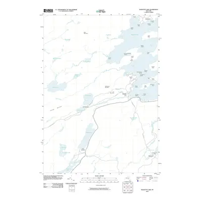 2010 Raquette Lake2010 Print · USGSThe central Adirondack wilderness is captured here in the early twenty-first century, showing a landscape of interconnected waterways and storied retreats. Researchers can trace the footprints of Great Camps like Sagamore Camp or locate recreation sites at Browns Tract Pond State Campground and Eighth Lake.
 - 2010 Map of Limekiln Lake, 2010 Print
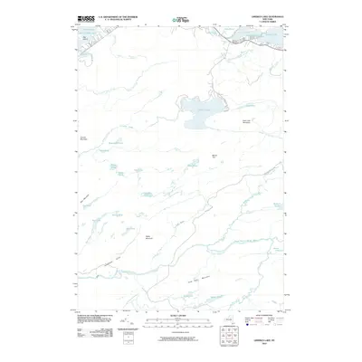 2010 Limekiln Lake2010 Print · USGSThe western Adirondacks are shown in detail here during the first decade of the millennium, centered on the lakes and peaks of Herkimer County. Researchers can trace the drainage of the South Branch Moose River and locate landmarks like Deadmans Gulch and Limekiln Lake.
 - 2010 Map of Eagle Bay, 2010 Print
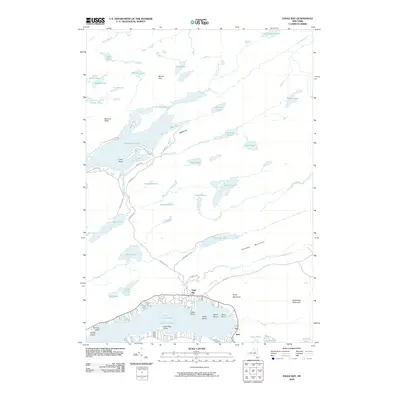 2010 Eagle Bay2010 Print · USGSThis central Adirondack landscape near the start of the twenty-first century captures the seasonal communities of Eagle Bay and Inlet. Researchers can trace old woods routes like UNCAS RD and locate family landmarks at Big Moose Lake, Moss Lake, and Cascade Lake.
 - 2010 Map of Mount Tom, 2010 Print
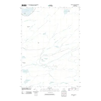 2010 Mount Tom2010 Print · USGSHamilton County's deep wilderness is documented here in the early twenty-first century, centered on the headwaters of the Moose River. Trace the remote trails and waterways surrounding the Camp Uncas compound and the secluded reaches of Mohegan Lake and The Plains.
 - 2013 Map of Mount Tom, 2013 Print
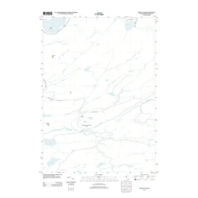 2013 Mount Tom2013 Print · USGSHamilton County's backcountry remains largely wild in the early twenty-first century, centered on the high peaks and glacial lakes of the Adirondacks. Researchers can locate the historic Camp Uncas and trace the remote course of the S Br Moose River past The Plains.
 - 2013 Map of Limekiln Lake, 2013 Print
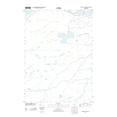 2013 Limekiln Lake2013 Print · USGSThe Central Adirondacks are shown here in the early 21st century, featuring a landscape of high peaks and protected wilderness. Trace the waterways of the Fulton Chain Lakes or locate landmarks like Mt Tom and the Adirondack Park Preserve boundary.
 - 2013 Map of Eagle Bay, 2013 Print
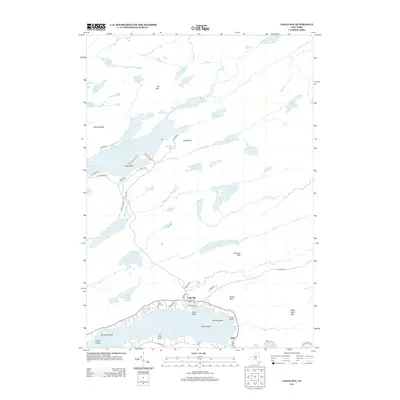 2013 Eagle Bay2013 Print · USGSThe Fulton Chain Lakes region at the start of the 2010s shows a landscape of dense seasonal settlements and vast mountain wilderness. Researchers can trace the developed shorelines of Eagle Bay and Inlet or find isolated landmarks like Dollar Island and Black Bear Mtn.
 - 2013 Map of Raquette Lake, 2013 Print
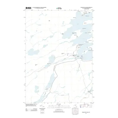 2013 Raquette Lake2013 Print · USGSThe Adirondack wilderness around Raquette Lake comes into focus in this recent survey of Hamilton County’s famous Great Camp country. Researchers can trace the layout of iconic estates like Sagamore Camp and Camp Pine Knot or locate the shoreline settlements at Hasbroucks and Sagamore.
 - 2016 Map of Eagle Bay, 2016 Print
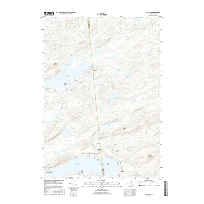 2016 Eagle Bay2016 Print · USGSThe Adirondack highlands and the boundary of Herkimer and Hamilton counties are captured here in the mid-2010s. Trace the lakefront developments of Eagle Bay and Inlet or locate remote camps near Big Moose Lake and Russian Lake.
 - 2016 Map of Raquette Lake, 2016 Print
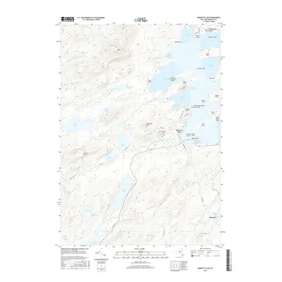 2016 Raquette Lake2016 Print · USGSThe heart of the Adirondacks is captured here in the mid-2010s, showing the intricate shoreline and wilderness surrounding Raquette Lake. Researchers can trace the layout of the historic Sagamore estate, locate remote waters like Shallow Lake, and identify named islands including Strawberry Island and Big Island.
 - 2016 Map of Mount Tom, 2016 Print
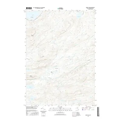 2016 Mount Tom2016 Print · USGSHamilton County remains a sanctuary of connected waterways and high summits as seen in this recent survey. You can trace the winding South Branch Moose River as it passes The Plains or locate the remote reaches of Wolf Lake and Beaver Lake.
 - 2016 Map of Limekiln Lake, 2016 Print
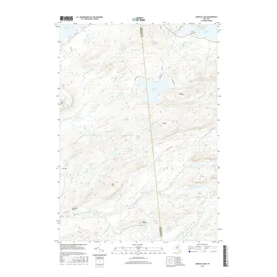 2016 Limekiln Lake2016 Print · USGSHerkimer and Hamilton counties meet in this protected wilderness during the early twenty-first century. Researchers can trace remote water bodies like Limekiln Lake and the South Branch Moose River, or locate named landmarks such as Deadmans Gulch and Higley Mtn.
 - 2019 Map of Limekiln Lake, 2019 Print
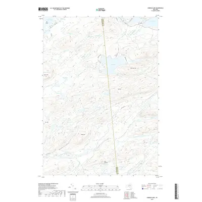 2019 Limekiln Lake2019 Print · USGSThe Adirondack wilderness is captured here in the late 2010s at the intersection of Herkimer and Hamilton counties. Researchers can trace the rugged drainage patterns of Limekiln Lake, Deadmans Gulch, and the numerous remote waters including Mitchell Ponds.
 - 2019 Map of Mount Tom, 2019 Print
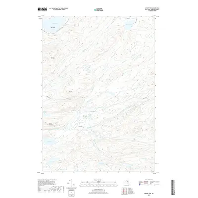 2019 Mount Tom2019 Print · USGSHamilton County's interior wilderness is captured here in the late twenty-teens, showcasing a region defined by high mountain peaks and hidden glacial lakes. Researchers can trace the rugged drainages of the South Branch Moose River or locate remote landmarks like The Plains and Mt Tom.
 - 2019 Map of Eagle Bay, 2019 Print
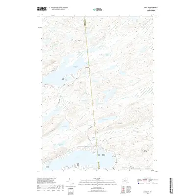 2019 Eagle Bay2019 Print · USGSThe northern Fulton Chain Lakes area appears here in the modern era, showing the primary settlements of Eagle Bay and Inlet. Researchers can trace old mountain routes and lake access points like Browns Tract Rd, Big Moose Lake, and Moss Lake.
 - 2019 Map of Raquette Lake, 2019 Print
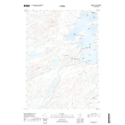 2019 Raquette Lake2019 Print · USGSRaquette Lake in the late twenty-teens remains a landscape of deep Adirondack bays and secluded mountain ponds. Genealogists and local historians can trace legacy properties near Sagamore, the islands of Beaver Bay, and early routes like Browns Tract Rd.
End of results
Showing maps 1-16 of 16
Top cities near Inlet
- Webb historical maps
- Indian Lake historical maps
- Ohio historical maps
- Lake Pleasant historical maps
- Long Lake historical maps
- Old Forge historical maps
See more
Frequently asked questions
- What are the different types of historical maps available for Inlet?
- What is the oldest map of Inlet?
- Where can I purchase historical maps of Inlet for my home or office?
- Where can I download high-res historical maps of Inlet?
- Are there historical topographic maps available for Inlet?
- Is there historical aerial imagery available for Inlet?
- Where are historical maps of Inlet sourced from?