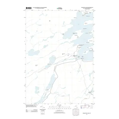
2013 Map of Raquette Lake
USGS Topo · Published 2013About this map
Raquette Lake and its intricate network of islands and points dominate this landscape within the Adirondack Park Preserve. The 2013 survey details the historical density of the Great Camps era, specifically highlighting Sagamore Camp and Camp Pine Knot, which helped define the regional architecture and social character. Settlement patterns are concentrated around the Raquette Lake hamlet and the southern community of Sagamore, while the surrounding terrain is defined by significant peaks like West Mtn and Cascade Mtn.
Find a feature on this map
73 named features on this map. Tap any name to fly to it.
Don’t see what you’re looking for? This feature index may not catch every label — zoom into the map to look around manually.
Map Details
Editions of this 2013 Raquette Lake Map
This is the sole edition of this map. No revisions or reprints were ever made.
Other maps of this area

1900 · Canada Lake
USGS Topo · 1:62,500

1901 · Old Forge
USGS Topo · 1:62,500

1903 · Big Moose
USGS Topo · 1:62,500

1903 · West Canada Lakes
USGS Topo · 1:62,500

1903 · Raquette Lake
USGS Topo · 1:62,500

1950 · Utica
USGS Topo · 1:250,000

1954 · Old Forge
USGS Topo · 1:62,500

1954 · West Canada Lakes
USGS Topo · 1:62,500
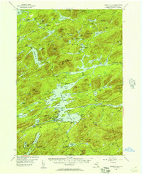
1954 · Raquette Lake
USGS Topo · 1:62,500

1954 · Big Moose
USGS Topo · 1:62,500