
1954 Map of West Canada Lakes
USGS Topo · Published 1957About this map
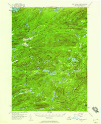
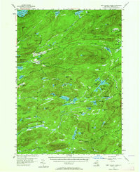
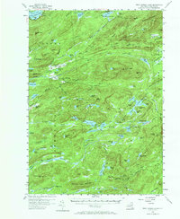
The remote interior of the Adirondacks unfolds across this mid-century survey, centered on the high watersheds of the Fulton Chain Lakes and the source waters of West Canada Creek. The landscape is defined by its complex network of glacial basins, from the large expanse of Seventh Lake to the secluded Spruce Lake at the foot of Spruce Lake Mountain. Human presence in this period is marked primarily by sporting camps and forestry infrastructure, including Kenwells, Millers Camp, and the elaborate Kamp Kill Kare near Lake Kora. The mapping highlights the early configuration of the Northville Lake Placid Trail as it winds through The Plains and past a Rangers Camp. From the Lookout Tower atop Wakely Mountain to the southern reaches of Blue Ridge, the map documents a territory shaped by conservation and seasonal residence long before modern development altered these backcountry routes.
Find a feature on this map
111 named features on this map. Tap any name to fly to it.
Don’t see what you’re looking for? This feature index may not catch every label — zoom into the map to look around manually.
Map Details
Editions of this 1954 West Canada Lakes Map
4 editions found
Other maps of this area

1899 · Indian Lake
USGS Topo · 1:62,500

1900 · Canada Lake
USGS Topo · 1:62,500

1900 · Wilmurt
USGS Topo · 1:62,500

1901 · Old Forge
USGS Topo · 1:62,500

1902 · Wilmurt
USGS Topo · 1:62,500

1902 · Indian Lake
USGS Topo · 1:62,500

1903 · Big Moose
USGS Topo · 1:62,500

1903 · West Canada Lakes
USGS Topo · 1:62,500

1903 · Raquette Lake
USGS Topo · 1:62,500

1903 · Blue Mountain
USGS Topo · 1:62,500