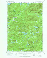
1954 Map of West Canada Lakes
USGS Topo · Published 1969About this map
Northville Lake Placid Trail winds through this high-elevation landscape within the Adirondack State Park, tracing a path through some of Hamilton County's most remote interior. This 1954 field survey illustrates a territory defined by complex hydrology and isolated human outposts, including Millers Camp and Kenwells. The wilderness character of the region is punctuated by high peaks like Wakely Mountain, which features a Lookout Tower, and Pillsbury Mtn. The map's drainage patterns are dominated by the Moose River and its South Branch, which feed into numerous high-altitude basins such as West Lake and Spruce Lake. The presence of several Shelters and a Rangers Camp near West Lake highlights the era's infrastructure for backcountry management and recreation. To the northwest, the map captures a portion of the Fulton Chain Lakes at Seventh Lake, providing a look at the transitional terrain between the developed lakefronts and the deep interior forests.
Find a feature on this map
112 named features on this map. Tap any name to fly to it.
Don’t see what you’re looking for? This feature index may not catch every label — zoom into the map to look around manually.
Map Details
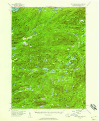
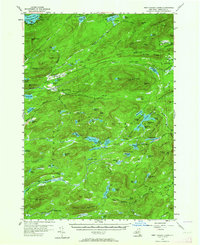
Editions of this 1954 West Canada Lakes Map
4 editions found

Other maps of this area

1899 · Indian Lake
USGS Topo · 1:62,500

1900 · Canada Lake
USGS Topo · 1:62,500

1900 · Wilmurt
USGS Topo · 1:62,500

1901 · Old Forge
USGS Topo · 1:62,500

1902 · Wilmurt
USGS Topo · 1:62,500

1902 · Indian Lake
USGS Topo · 1:62,500

1903 · Big Moose
USGS Topo · 1:62,500

1903 · West Canada Lakes
USGS Topo · 1:62,500

1903 · Raquette Lake
USGS Topo · 1:62,500

1903 · Blue Mountain
USGS Topo · 1:62,500