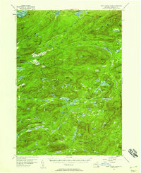
1954 Map of West Canada Lakes
USGS Topo · Published 1958About this map
West Canada Lakes and the surrounding Adirondack wilderness appear here in their mid-century state, showing a landscape defined by water and remote forest outposts. In the northern reaches of Arietta and Inlet, the map documents established camp locations such as Kenwells and Millers Camp, alongside essential backcountry infrastructure like the Rangers Camp near West Lake. The topography is dominated by major peaks including Wakely Mountain and Pillsbury Mtn, both of which featured Lookout Towers critical for fire detection during this era.
Find a feature on this map
101 named features on this map. Tap any name to fly to it.
Don’t see what you’re looking for? This feature index may not catch every label — zoom into the map to look around manually.
Map Details
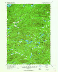
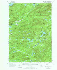
Editions of this 1954 West Canada Lakes Map
4 editions found

Other maps of this area

1899 · Indian Lake
USGS Topo · 1:62,500

1900 · Canada Lake
USGS Topo · 1:62,500

1900 · Wilmurt
USGS Topo · 1:62,500

1901 · Old Forge
USGS Topo · 1:62,500

1902 · Wilmurt
USGS Topo · 1:62,500

1902 · Indian Lake
USGS Topo · 1:62,500

1903 · Big Moose
USGS Topo · 1:62,500

1903 · West Canada Lakes
USGS Topo · 1:62,500

1903 · Raquette Lake
USGS Topo · 1:62,500

1903 · Blue Mountain
USGS Topo · 1:62,500