
1954 Map of Old Forge
USGS Topo · Published 1956About this map
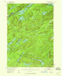
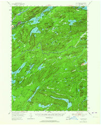
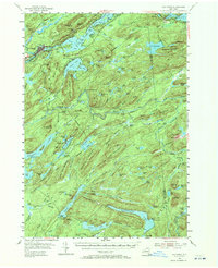
Old Forge serves as the primary hub for this mid-century view of the Adirondack State Park, where the Fulton Chain Lakes extend through a landscape of dense peaks and interior lodges. Recreation and local industry are evident in features like the Ski Tows and Ski Jump near McCauley Mtn, alongside the Riverside Cem and a local Hatchery. The map documents a network of seasonal and remote outposts, including Bisby Lodge, Mountain Lodge, and Forest Lodge, which provided access to the region's vast water systems like Little Moose Lake and the Bisby Lakes. A distinct interpretive detail is the presence of several isolated farms and landings, such as Cahans Farm and Herkimer Landing, illustrating how remote homesteads and supply points persisted deep within the forest during the 1950s. Named terrain features like Deadmans Gulch and Ice Cave Mountain underscore the specific character of this Adirondack wilderness before more modern development patterns took hold.
Find a feature on this map
161 named features on this map. Tap any name to fly to it.
Don’t see what you’re looking for? This feature index may not catch every label — zoom into the map to look around manually.
Map Details
Editions of this 1954 Old Forge Map
4 editions found
Other maps of this area

1897 · Remsen
USGS Topo · 1:62,500

1900 · Remsen
USGS Topo · 1:62,500

1900 · Canada Lake
USGS Topo · 1:62,500

1900 · Wilmurt
USGS Topo · 1:62,500

1901 · Old Forge
USGS Topo · 1:62,500

1902 · Wilmurt
USGS Topo · 1:62,500

1903 · Big Moose
USGS Topo · 1:62,500

1903 · West Canada Lakes
USGS Topo · 1:62,500

1903 · Raquette Lake
USGS Topo · 1:62,500

1904 · Piseco Lake
USGS Topo · 1:62,500