Old Maps of Columbia, New York for Metal Detecting
Plan your next treasure hunt with 38 historic maps of Columbia. Find old homesites, ghost towns, trails, and gathering spots that may be lost to time — perfect for identifying promising metal detecting locations.
- Locate forgotten sites: Uncover places like long-lost settlements, abandoned rail lines, or gathering spots.
- Plan better hunts: Use map overlays combined with LiDAR or satellite views to narrow in on historically rich areas.
- Made for detectorists: Thousands of hobbyists use these maps to discover relics, coins, and hidden history.
Use these historic maps to boost your research and find new opportunities beneath the surface of Columbia.
Columbia, NY maps
(38)- 1903 Map of Richfield Springs
 1903 Richfield Springs1903 Print · USGSThe northern Otsego County landscape at the turn of the century shows a bustling rural economy centered around the headwaters of the Susquehanna. Researchers can trace the early Steamboat Route on Otsego Lake and explore rail-era depots like Richfield Springs and Cherry Valley.6 unique versions available
 - 1907 Map of Winfield
 1907 Winfield1907 Print · USGSCentral New York's dairy and rail corridor is captured here at the start of the century. Genealogists can trace family names across hamlets like Millers Mills and Plainfield Center, or locate old depots along the Unadilla Valley RR.6 unique versions available
 - 1943 Map of Schuyler Lake, 1953 Print
 1943 Schuyler Lake1953 Print · USGSOtsego County in the early 1940s is captured here, showing the transition from lakeside resorts to upland dairy country. Researchers can trace historic district schools like Ryder Sch and find family plots in Exeter Cem or Herkimer Cem.3 unique versions available
 - 1943 Map of Jordanville, 1954 Print
 1943 Jordanville1954 Print · USGSHerkimer County's agricultural uplands and spiritual centers are frozen in time during the early 1940s. Genealogists can trace local roots through several family burial grounds like Heath Cem or locate the historic Holy Trinity Monastery near Jordanville.2 unique versions available
 - 1943 Map of Richfield Springs, 1960 Print
 1943 Richfield Springs1960 Print · USGSUpper Otsego County is shown here during the early 1940s, centered on the historic rail and water junctions of the Leatherstocking Country. Genealogists can trace family names through numbered schoolhouses like School No 10 and cemeteries such as Lakeview Cem.2 unique versions available
 - 1943 Map of Millers Mills, 1960 Print
 1943 Millers Mills1960 Print · USGSHerkimer County's rural townships and glacial ravines appear in detail in this mid-century survey. Researchers can trace the path of the Delaware Lackawanna and Western railroad through local stops like Millers Mills and Cedarville Station.2 unique versions available
 - 1945 Map of Jordanville
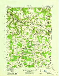 1945 Jordanville1945 Print · USGSUpper New York state during the mid-forties reveals a landscape of upland farms and monastic tradition. Genealogists can trace family lines through numerous rural sites like Highland Cem, School No 6, and the landmark Holy Trinity Monastery.
 - 1945 Map of Millers Mills
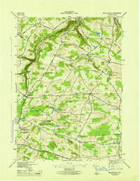 1945 Millers Mills1945 Print · USGSThe upland dairy country of Herkimer and Otsego Counties is captured here in the mid-1940s, showing a landscape of small hamlets and district schools. Researchers can trace the Delaware Lackawanna and Western rail line through Millers Mills or find family plots at Conrad Helmer Cem and Brown-Young Cem.
 - 1945 Map of Schuyler Lake
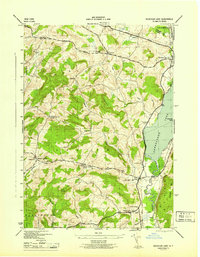 1945 Schuyler Lake1945 Print · USGSOtsego County's farming valleys and upland ridges are captured here during the mid-1940s. Researchers can trace historic turnpikes, old district schools like Cobblestone Sch, and family burial grounds such as Twilight Rest Cem.
 - 1945 Map of Richfield Springs
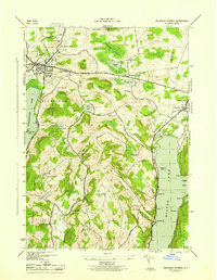 1945 Richfield Springs1945 Print · USGSRichfield Springs and its surrounding dairy country are captured here at the end of the war, as the D L & W railroad still served the village core. Researchers can locate many small rural schoolhouses like School No 10 and cemeteries such as Marshall Cem scattered throughout the hills near Rum Hill.
 - 1946 Map of Millers Mills
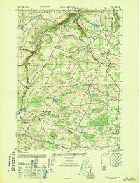 1946 Millers Mills1946 Print · USGSThe Herkimer and Otsego county borderlands are captured here in the mid-1940s, showing a rural landscape defined by deep ravines and small farming hamlets. Researchers can trace family history through sites like Millers Mills, Conrad Helmer Cem, and the Richfield Hill School.
 - 1948 Map of Binghamton, 1980 Print
 1948 Binghamton1980 Print · USGSCentral New York and the Southern Tier thrive in the late 1940s as a hub of rail traffic and mountain industry. Researchers can trace historic transit lines like the Erie Railroad through Binghamton or find old valley settlements near Oneonta and Delhi.
 - 1949 Map of Millers Mills
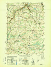 1949 Millers Mills1949 Print · USGSPost-war Herkimer County is captured here at a time when small crossroads settlements and family farmsteads still defined the central New York countryside. Researchers can trace the Lackawanna rail line through Millers Mills and locate ancestral sites like Conrad Helmer Cem or Fern Cliff School.
 - 1950 Map of Binghamton
 1950 Binghamton1950 Print · USGSBinghamton and the surrounding Southern Tier are shown in the mid-century era, highlighting the intricate rail and river networks that drove local industry. Researchers can trace the path of the Erie Railroad and locate landmarks from Otsego Lake to Sidney Mountain.2 unique versions available
 - 1958 Map of Binghamton
 1958 Binghamton1958 Print · USGSCentral New York in the late fifties was a network of manufacturing cities and river valleys connected by vital rail lines. Genealogists and historians can trace family roots in Oneonta, Norwich, and Cooperstown or locate long-standing farms along Schoharie Creek.
 - 1963 Map of Binghamton
 1963 Binghamton1963 Print · USGSThe Southern Tier and Catskill peaks are shown in the early sixties as new reservoirs reshaped the valleys. Trace historic rail corridors like the Erie Lackawanna RR and explore lakeside settlements such as Cooperstown and Oneonta.
 - 1985 Map of Amsterdam, 1986 Print
 1985 Amsterdam1986 Print · USGSUpstate New York in the mid-1980s reveals a landscape defined by historic river valleys and expanding interstate corridors. Researchers can trace family sites near Stone Arabia Cemetery or explore the civic centers of Amsterdam and Cooperstown near Otsego Lake.2 unique versions available
 - 1986 Map of Norwich
 1986 Norwich1986 Print · USGSCentral New York in the mid-eighties was a landscape of deep river valleys and university towns connected by historic rail corridors and state highways. Researchers can trace the rural infrastructure of Norwich and Hamilton, finding landmarks like Colgate University and the Seventh Day Hollow Church.2 unique versions available
 - 2010 Map of Schuyler Lake, 2010 Print
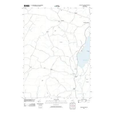 2010 Schuyler Lake2010 Print · USGSOtsego County's rural character and lakeside hamlets are preserved in this early twenty-first-century survey. Genealogists and local historians can trace legacy landmarks from Canadarago Lake to ancestral grounds like Exeter Cemetery and Schuyler Lake Cemetery.
 - 2010 Map of Millers Mills, 2010 Print
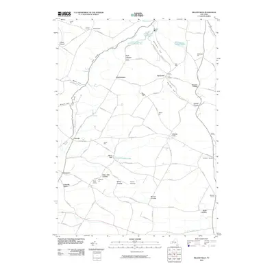 2010 Millers Mills2010 Print · USGSHerkimer County's upland farming communities and deep valley gorges appear in clear detail during the early twenty-first century. Family historians can trace ancestral sites at Brown-Young Cemetery or follow the old rail influence at Cedarville Station and Millers Mills.
 - 2010 Map of Jordanville, 2010 Print
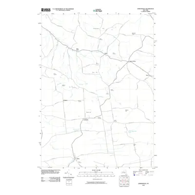 2010 Jordanville2010 Print · USGSHerkimer County's agricultural valleys and high hills are captured here in the early twenty-first century. Genealogists can trace a remarkable number of local burial sites, including the Highland, Crim, and Pooler cemeteries near Jordanville.
 - 2010 Map of Richfield Springs, 2010 Print
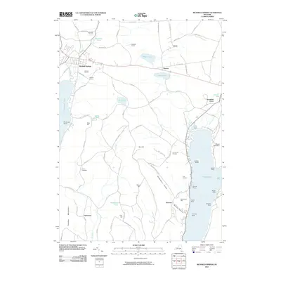 2010 Richfield Springs2010 Print · USGSThe northern lake country of Otsego County is captured here in the early twenty-first century, showing the established communities of Richfield Springs and Springfield Center. Researchers can trace local history through family-named sites like Fitch Hill or locate old burial grounds including Marshall Cemetery.
 - 2013 Map of Schuyler Lake, 2013 Print
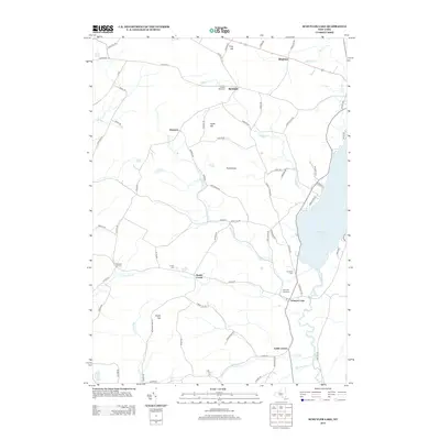 2013 Schuyler Lake2013 Print · USGSOtsego County's rural heartland is captured here in the early twenty-first century, centered on the historic crossroads and lakeside terrain. Researchers can trace family roots at Twilight Rest Cem or explore the geography of Canadarago Lake and the settlement of Schuyler Lake.
 - 2013 Map of Millers Mills, 2013 Print
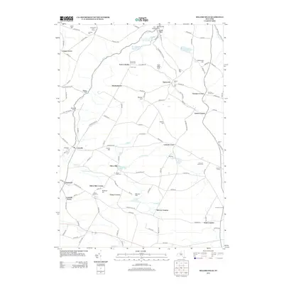 2013 Millers Mills2013 Print · USGSUpstate New York's rural crossroads and family homesteads are captured here in the early twenty-first century. Researchers can trace local history through numerous burial sites like N Columbia Church Cem and settlements such as Cedarville and South Columbia.
 - 2013 Map of Jordanville, 2013 Print
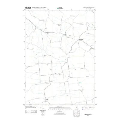 2013 Jordanville2013 Print · USGSHerkimer County's agricultural heartland is documented here in the early twenty-first century, showing a landscape still defined by family farms and rural hamlets. Genealogists can locate family-named landmarks and burial sites like Crim Cem, Days Rock, and Paines Hollow.
Showing maps 1-25 of 38
Top cities near Columbia
- Utica historical maps
- New Hartford historical maps
- Whitestown historical maps
- German Flatts historical maps
- Herkimer historical maps
- Marcy historical maps
See more
Top neighborhoods of Columbia
- Spinnerville historical maps
- Columbia Center historical maps
- Elizabethtown historical maps
- McCoon Crossing historical maps
- Millers Mills historical maps
- Millers Mills Crossing historical maps
See more
Frequently asked questions
- What are the different types of historical maps available for Columbia?
- What is the oldest map of Columbia?
- Where can I purchase historical maps of Columbia for my home or office?
- Where can I download high-res historical maps of Columbia?
- Are there historical topographic maps available for Columbia?
- Is there historical aerial imagery available for Columbia?
- Where are historical maps of Columbia sourced from?