2000s (21st Century) Maps of Ilion, German Flatts
Explore 10 historic maps of Ilion from the 2000s (21st Century). These maps offer a rare glimpse into what life looked like during the 2000s — showing old roads, neighborhoods, homes, and landmarks that have changed or disappeared over time.
Whether you're researching your family's past, planning a metal detecting trip, or studying how Ilion's landscape evolved across the 2000s, these high-resolution maps are a powerful tool for exploring the history of this region.
- Focus on a specific era: All maps on this page are from the 2000s, giving you a focused view of this time period.
- See what’s changed: Compare century-old streets, trails, and buildings to today's modern landscape using overlays and satellite layers.
- Research with precision: Use these maps for genealogy, historical research, land use analysis, or educational projects.
- View, download, or print: Maps are fully viewable online in high resolution, and can be downloaded or printed for your own records.
Start exploring Ilion's history through authentic maps from the 2000s. This is your window into the past.
Ilion, German Flatts maps
(10)- 2010 Map of Ilion, 2010 Print
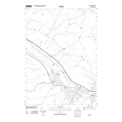 2010 Ilion2010 Print · USGSCovers Ilion, including German Flatts, Herkimer, and other nearby areas
 - 2010 Map of Millers Mills, 2010 Print
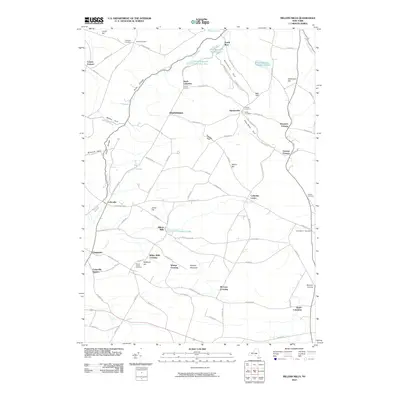 2010 Millers Mills2010 Print · USGSCovers Ilion, including German Flatts, Frankfort, and other nearby areas
 - 2013 Map of Millers Mills, 2013 Print
 2013 Millers Mills2013 Print · USGSCovers Ilion, including German Flatts, Frankfort, and other nearby areas
 - 2013 Map of Ilion, 2013 Print
 2013 Ilion2013 Print · USGSCovers Ilion, including German Flatts, Herkimer, and other nearby areas
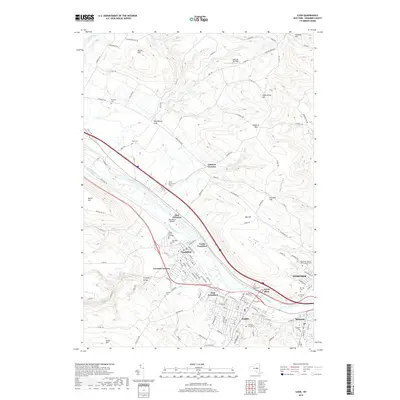
 - 2016 Map of Ilion, 2016 Print
 2016 Ilion2016 Print · USGSCovers Ilion, including German Flatts, Herkimer, and other nearby areas
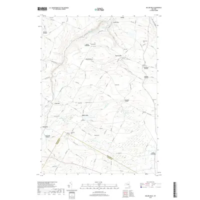
 - 2016 Map of Millers Mills, 2016 Print
 2016 Millers Mills2016 Print · USGSCovers Ilion, including German Flatts, Frankfort, and other nearby areas
 - 2019 Map of Millers Mills, 2019 Print
 2019 Millers Mills2019 Print · USGSCovers Ilion, including German Flatts, Frankfort, and other nearby areas
 - 2019 Map of Ilion, 2019 Print
 2019 Ilion2019 Print · USGSCovers Ilion, including German Flatts, Herkimer, and other nearby areas
 - 2023 Map of Millers Mills, 2023 Print
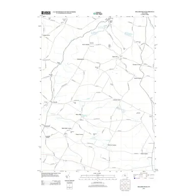
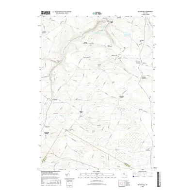
 2023 Millers Mills2023 Print · USGSThe rural uplands of Herkimer County are shown here in recent years, where the headwaters of the Unadilla River and Steele Creek meet. Genealogists can trace family names at the Brown-Young Cem, Millers Mills Cem, and Edick Cem.
 - 2023 Map of Ilion, 2023 Print
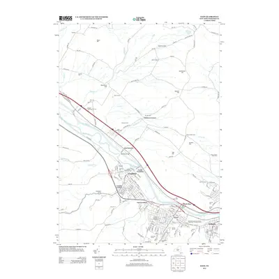
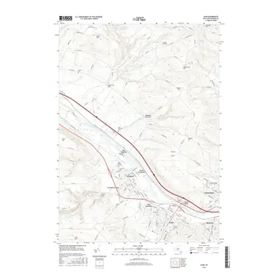
 2023 Ilion2023 Print · USGSThe Mohawk Valley corridor is captured here in the early twenty-first century, showing the enduring industrial and transit layout of Ilion and Frankfort. Researchers can trace generations of residents across numerous burial grounds like Mount Olivet Cem, Oak Hill Cem, and the East Schuyler Miller Cem.
End of results
Showing maps 1-10 of 10
Top cities near Ilion
- Utica historical maps
- New Hartford historical maps
- Whitestown historical maps
- German Flatts historical maps
- Herkimer historical maps
- Marcy historical maps
See more
Frequently asked questions
- What are the different types of historical maps available for Ilion?
- What is the oldest map of Ilion?
- Where can I purchase historical maps of Ilion for my home or office?
- Where can I download high-res historical maps of Ilion?
- Are there historical topographic maps available for Ilion?
- Is there historical aerial imagery available for Ilion?
- Where are historical maps of Ilion sourced from?