Old Maps of Fishers Landing, Orleans for Metal Detecting
Plan your next treasure hunt with 24 historic maps of Fishers Landing. Find old homesites, ghost towns, trails, and gathering spots that may be lost to time — perfect for identifying promising metal detecting locations.
- Locate forgotten sites: Uncover places like long-lost settlements, abandoned rail lines, or gathering spots.
- Plan better hunts: Use map overlays combined with LiDAR or satellite views to narrow in on historically rich areas.
- Made for detectorists: Thousands of hobbyists use these maps to discover relics, coins, and hidden history.
Use these historic maps to boost your research and find new opportunities beneath the surface of Fishers Landing.
Fishers Landing, Orleans maps
(24)- 1903 Map of Grindstone
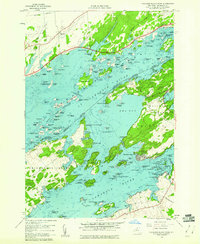
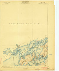 1903 Grindstone1903 Print · USGSThe Thousand Islands at the turn of the century are captured here along the international border as steamboat traffic flourished. Genealogists and historians can trace old resort landings like Thousand Island Park and Fineview or locate several distinct river beacons including Rock I. L.H. and Lindoe L.H..4 unique versions available
 - 1903 Map of Alexandria Bay
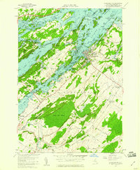
 1903 Alexandria Bay1903 Print · USGSThe Thousand Islands region appears here at the turn of the century as a burgeoning summer retreat along the international border. Genealogists and local historians can trace the early layouts of Alexandria Bay, the rail corridor through Redwood, and numerous island landings like Collins Landing.6 unique versions available
 - 1943 Map of Thousand Island Park
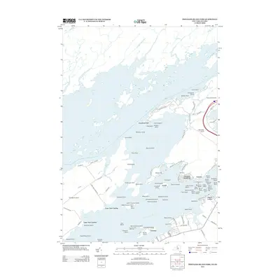
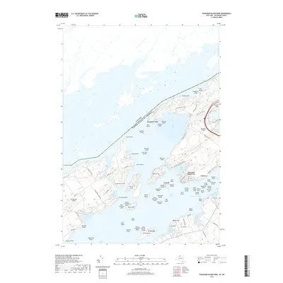
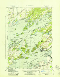 1943 Thousand Island Park1943 Print · USGSThe Thousand Islands region along the New York-Ontario border is captured here during the 1940s, showing the intricate island communities of the St. Lawrence River. Trace local history through landmark schools like Spicer Bay Sch and the distinct landings of Grindstone Island.
 - 1943 Map of Alexandria Bay
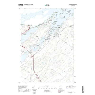
 1943 Alexandria Bay1943 Print · USGSThe Thousand Islands region thrived as a cross-border hub in the early 1940s, shortly after the completion of the Thousand Island Bridge. Researchers can trace old school districts like School No 19, find small rural burial grounds like Omar Cem, and locate river landmarks from Westminster Park to the Coast Guard Sta.
 - 1948 Map of Alexandria Bay, 1953 Print
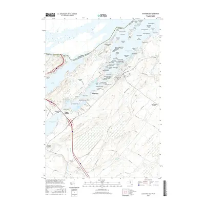
 1948 Alexandria Bay1953 Print · USGSThe Thousand Islands region and the St. Lawrence River frontier are captured here in the late 1940s as international transit and local tourism flourished. Historians can trace the development of Alexandria Bay, the rural schools of Alexandria, and the lakeside settlements of Redwood and Plessis.2 unique versions available
 - 1948 Map of Ogdensburg, 1973 Print
 1948 Ogdensburg1973 Print · USGSThe international border along the St Lawrence River comes to life in the late 1940s, showing the vital rail and water connections between New York and Ontario. Researchers can trace the grounds of St Lawrence University, the massive Camp Drum military reservation, and the historic Rideau River and Canal.2 unique versions available
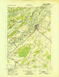
 - 1951 Map of Ogdensburg
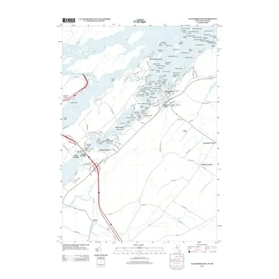
 1951 Ogdensburg1951 Print · USGSThe St. Lawrence frontier and the North Country are captured here during the post-war era, from the river ports to the high Adirondacks. Genealogists and historians can trace the rail-and-river economy through Ogdensburg, the Rutland rail lines, and Potsdam.
 - 1953 Map of Ogdensburg
 1953 Ogdensburg1953 Print · USGSThe North Country and St. Lawrence Valley are shown here in the early fifties, just as the region’s rail-and-river economy remained in full swing. Genealogists and historians can trace family-named corners and rural hubs along the Rutland railroad or locate heritage sites near Ogdensburg, Potsdam, and the St Regis Indian Reservation.
 - 1954 Map of Kingston
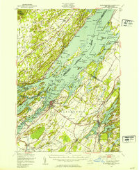
 1954 Kingston1954 Print · USGSThe international border at the head of the St. Lawrence comes alive in the mid-fifties, showing the interconnected rail and river systems of Ontario and New York. Trace historical routes like the Canadian National RR or find local landmarks such as Thousand Island Park and Tyendinaga Ind. Res.4 unique versions available
 - 1958 Map of Thousand Island Park, 1960 Print
 1958 Thousand Island Park1960 Print · USGSThe St. Lawrence River archipelago is captured here in the late fifties, showing the international boundary winding through the islands. Researchers can trace historic riverfront communities like Thousand Island Park or locate the Quarries and remote Cem on GRINDSTONE ISLAND.3 unique versions available
 - 1958 Map of Alexandria Bay, 1960 Print
 1958 Alexandria Bay1960 Print · USGSThe St. Lawrence riverfront at Alexandria Bay is captured in the late 1950s, showing the famous architecture of Boldt Castle and Sunken Rock Lighthouse. Trace the local landscape from Wellesley Island to interior crossroads like Omar and Alexandria Center.2 unique versions available
 - 1961 Map of Ogdensburg
 1961 Ogdensburg1961 Print · USGSThe St. Lawrence valley and the Adirondack high country meet in this early sixties survey during a peak era for rail and river commerce. Genealogists and historians can trace the paths of the New York Central railroad through remote settlements like Wanakena, Conifer, and Piercefield.
 - 1985 Map of Gouverneur
 1985 Gouverneur1985 Print · USGSSt. Lawrence and Jefferson Counties are shown in the mid-eighties as a landscape of river-driven industry and expanding military grounds. Genealogists and historians can trace rail lines through Carthage, find local landmarks like Noble Hospital, and locate the boundaries of the Fort Drum Military Reservation.2 unique versions available
 - 1985 Map of Cape Vincent
 1985 Cape Vincent1985 Print · USGSThe Thousand Islands and the Jefferson County shoreline are documented in the mid-1980s as the river meets the lake. Genealogists and local historians can trace an Old Railroad Grade and explore settlements like Cape Vincent, Clayton, and Rosiere.2 unique versions available
 - 2011 Map of Alexandria Bay, 2011 Print
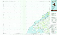
 2011 Alexandria Bay2011 Print · USGSCovers Fishers Landing, including Leeds and the Thousand Islands, Alexandria, and other nearby areas
 - 2011 Map of Thousand Island Park, 2011 Print
 2011 Thousand Island Park2011 Print · USGSCovers Fishers Landing, including Leeds and the Thousand Islands, Clayton, and other nearby areas
 - 2013 Map of Thousand Island Park, 2013 Print
 2013 Thousand Island Park2013 Print · USGSCovers Fishers Landing, including Leeds and the Thousand Islands, Clayton, and other nearby areas
 - 2013 Map of Alexandria Bay, 2013 Print
 2013 Alexandria Bay2013 Print · USGSCovers Fishers Landing, including Leeds and the Thousand Islands, Alexandria, and other nearby areas
 - 2016 Map of Thousand Island Park, 2016 Print
 2016 Thousand Island Park2016 Print · USGSCovers Fishers Landing, including Leeds and the Thousand Islands, Clayton, and other nearby areas
 - 2016 Map of Alexandria Bay, 2016 Print
 2016 Alexandria Bay2016 Print · USGSCovers Fishers Landing, including Leeds and the Thousand Islands, Alexandria, and other nearby areas
 - 2019 Map of Alexandria Bay, 2019 Print
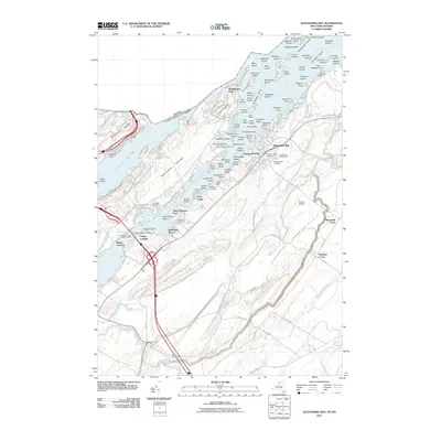
 2019 Alexandria Bay2019 Print · USGSCovers Fishers Landing, including Leeds and the Thousand Islands, Alexandria, and other nearby areas
 - 2019 Map of Thousand Island Park, 2019 Print
 2019 Thousand Island Park2019 Print · USGSCovers Fishers Landing, including Leeds and the Thousand Islands, Clayton, and other nearby areas
 - 2023 Map of Thousand Island Park, 2023 Print
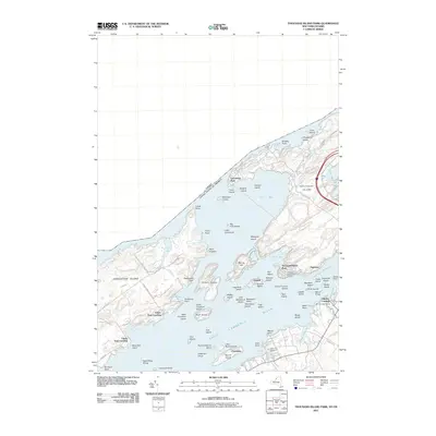
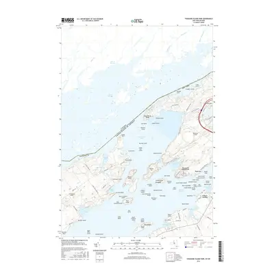
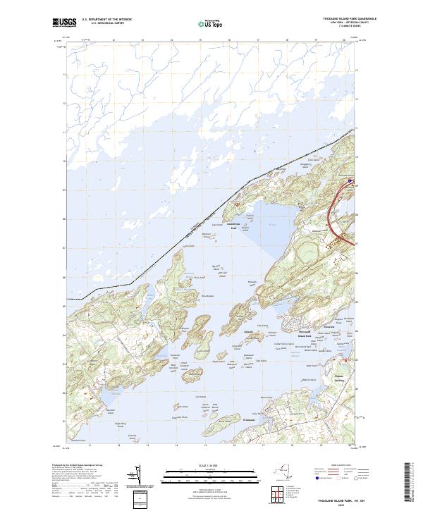 2023 Thousand Island Park2023 Print · USGSThe Thousand Islands archipelago at the modern international border reveals a landscape defined by island resorts and state parks. Genealogists can trace property lines and landing sites near Thousand Island Park, Fineview, and Grindstone Island.
 - 2023 Map of Alexandria Bay, 2023 Print
 2023 Alexandria Bay2023 Print · USGSThe Thousand Islands region along the New York border comes into focus in this contemporary survey of the Saint Lawrence River and its waterfront resorts. Trace family connections at Saint Cyril's Cem and Houghton Cem, or explore the landing sites at Fishers Landing and Collins Landing.
End of results
Showing maps 1-24 of 24
Top cities near Fishers Landing
- Le Ray historical maps
- Brownville historical maps
- Clayton historical maps
- Alexandria historical maps
- Calcium historical maps
- Pamelia historical maps
See more
Frequently asked questions
- What are the different types of historical maps available for Fishers Landing?
- What is the oldest map of Fishers Landing?
- Where can I purchase historical maps of Fishers Landing for my home or office?
- Where can I download high-res historical maps of Fishers Landing?
- Are there historical topographic maps available for Fishers Landing?
- Is there historical aerial imagery available for Fishers Landing?
- Where are historical maps of Fishers Landing sourced from?