2010s Maps of Mount Morris, New York
Explore 24 historic maps of Mount Morris from the 2010s. These maps offer a rare glimpse into what life looked like during the 2010s — showing old roads, neighborhoods, homes, and landmarks that have changed or disappeared over time.
Whether you're researching your family's past, planning a metal detecting trip, or studying how Mount Morris's landscape evolved across the 2010s, these high-resolution maps are a powerful tool for exploring the history of this region.
- Focus on a specific era: All maps on this page are from the 2010s, giving you a focused view of this time period.
- See what’s changed: Compare century-old streets, trails, and buildings to today's modern landscape using overlays and satellite layers.
- Research with precision: Use these maps for genealogy, historical research, land use analysis, or educational projects.
- View, download, or print: Maps are fully viewable online in high resolution, and can be downloaded or printed for your own records.
Start exploring Mount Morris's history through authentic maps from the 2010s. This is your window into the past.
Mount Morris, NY maps
(24)- 2010 Map of Geneseo, 2010 Print
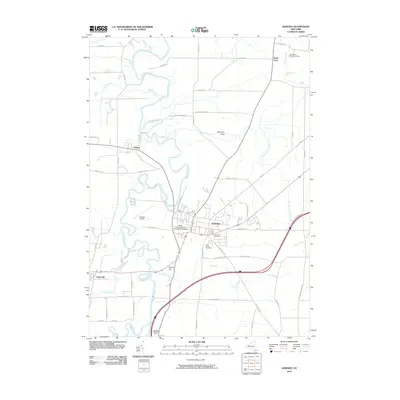 2010 Geneseo2010 Print · USGSGeneseo and the Genesee River valley are captured here in the early twenty-first century, showing the established college campus and surrounding agricultural landscape. Genealogists can locate family sites near Temple Hill Cemetery or trace landmarks like the Wadsworth Boy Scout Camp and Fall Brook Falls.
- 2010 Map of Ossian, 2010 Print
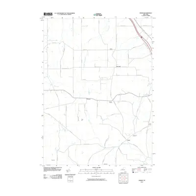 2010 Ossian2010 Print · USGSLivingston County's rural uplands are shown in detail during the first decade of the new millennium. Researchers can trace land ties and lineage through local markers like Ossian Center Cemetery, Frog Hill, and the small settlement of Byersville.
- 2010 Map of Mount Morris, 2010 Print
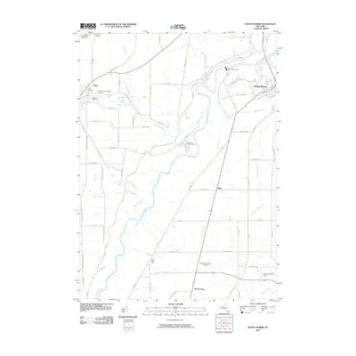 2010 Mount Morris2010 Print · USGSThe Genesee River valley in western New York is defined here by its massive dam and rural hamlets during the early twenty-first century. Genealogists can trace family sites at Saint Stanislaus Kostka Cemetery or locate landmarks like Brooks Grove and Simmons Corners.
- 2010 Map of Sonyea, 2010 Print
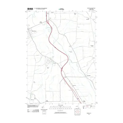 2010 Sonyea2010 Print · USGSLivingston County at the start of the 2010s shows a landscape of creek-side hamlets and rural aviation. Genealogists can trace family burial sites at Craig State School Cemetery or Dutch Street Cemetery and locate historic hubs like Sonyea and Mount Morris.
- 2010 Map of Portageville, 2010 Print
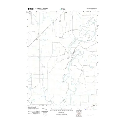 2010 Portageville2010 Print · USGSWestern New York's river-cut landscape is captured here in the early twenty-first century, centered on the dramatic falls of the Genesee River. Genealogists can trace family roots through numerous burial sites including Portageville Pioneer Cemetery and the remote Pennycook Cemetery.
- 2010 Map of Nunda, 2010 Print
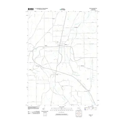 2010 Nunda2010 Print · USGSThe Genesee Valley highlands come into focus in this contemporary survey of central Livingston County. Local historians can trace the rural landscape between Nunda and Dalton, locating family sites near Saint Helena Cemetery and Oakwood Cemetery.
- 2013 Map of Portageville, 2013 Print
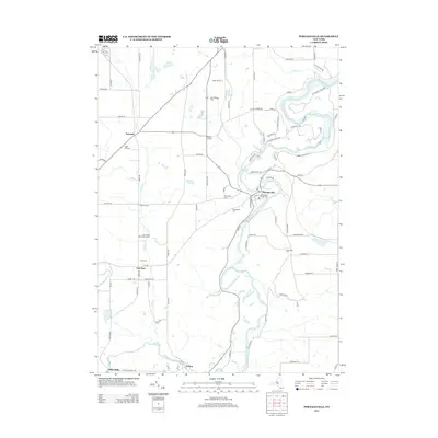 2013 Portageville2013 Print · USGSThe Genesee River gorge and the rural crossroads of Wyoming County are captured here in the early twenty-first century. Researchers can trace family sites from Portageville Pioneer Cem to Mills Mills or locate agricultural landmarks like Apple Hill Farms.
- 2013 Map of Geneseo, 2013 Print
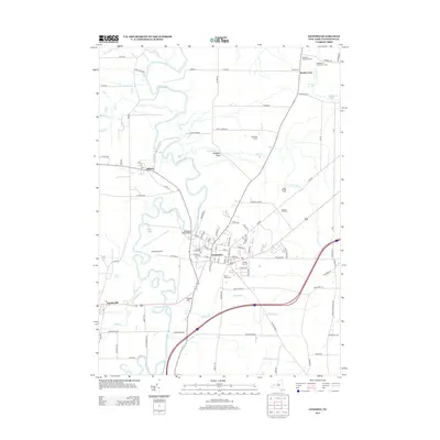 2013 Geneseo2013 Print · USGSThe Genesee Valley comes into sharp focus during this era of growth, centered on the village and university at Geneseo. Researchers can trace local history through features like Temple Hill Cem, the Wadsworth Boy Scout Camp, and the winding path of the Genesee River.
- 2013 Map of Nunda, 2013 Print
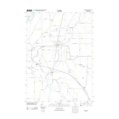 2013 Nunda2013 Print · USGSLivingston County's rural heartland is meticulously documented here during the early twenty-first century, centered on the village of Nunda. Researchers can trace local lineage through numerous burial grounds like Saint Helena Cem or find echoes of local industry along Cheese Factory Rd.
- 2013 Map of Mount Morris, 2013 Print
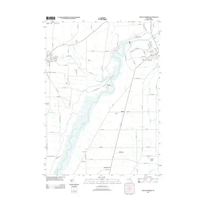 2013 Mount Morris2013 Print · USGSWestern New York's river valleys and agricultural plateaus are shown here in the early twenty-first century. Genealogists and local researchers can trace a high concentration of burial grounds, including Hope Cem and Riverview Cem, alongside the industrial legacy of the Tail Race on the Genesee River.
- 2013 Map of Ossian, 2013 Print
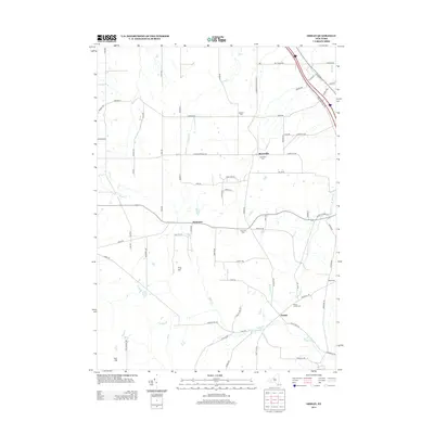 2013 Ossian2013 Print · USGSThe rural landscape of Livingston County is captured here just after the turn of the millennium, showing a network of upland farms and family homesteads. Genealogists can trace local roots through burial grounds like Westview Cem and Wood Cem or landmarks like Frog Hill.
- 2013 Map of Sonyea, 2013 Print
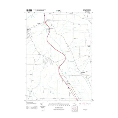 2013 Sonyea2013 Print · USGSMount Morris and the surrounding Livingston County farmlands are captured here in the early twenty-first century. Researchers can trace local lineage through numerous sites like the Craig State Sch Cem, Williamsburg Cem, and the village of Sonyea.
- 2016 Map of Geneseo, 2016 Print
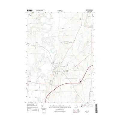 2016 Geneseo2016 Print · USGSGeneseo and the Genesee River valley are shown here in the mid-2010s, centered on the SUNY at Geneseo campus and the surrounding village. Researchers can trace local burial sites at Temple Hill Cem or locate geographical landmarks like Fall Brook Falls and Wheelers Gully.
- 2016 Map of Portageville, 2016 Print
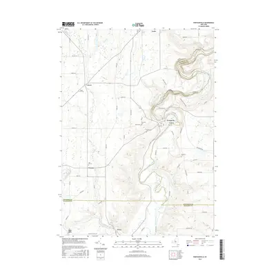 2016 Portageville2016 Print · USGSThe Genesee River valley in the mid-2010s reveals a landscape defined by the deep gorges of Letchworth State Park and rural hamlets. Local historians can trace old community foundations at Mills Mills and Wiscoy, or find ancestral sites at the Portageville Pioneer Cem.
- 2016 Map of Mount Morris, 2016 Print
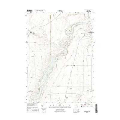 2016 Mount Morris2016 Print · USGSThe Genesee Valley and the dramatic landscapes of Letchworth State Park are documented here in the mid-2010s. Researchers can locate family roots at Saint Stanislaus Kostka Cem or trace the rural crossroads of Brooks Grove and Ridge along the Genesee River.
- 2016 Map of Ossian, 2016 Print
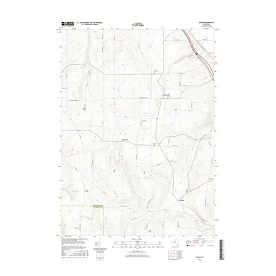 2016 Ossian2016 Print · USGSLivingston and Allegany Counties are documented here in the early twenty-first century, showing a rural landscape shaped by deep gullies and upland hills. Researchers can trace family history through sites like Ossian Center Cem, the hamlet of Westview, and the remnants of Red School Rd.
- 2016 Map of Sonyea, 2016 Print
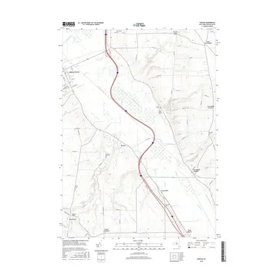 2016 Sonyea2016 Print · USGSLivingston County's rural landscape is documented here in the mid-2010s, centered on the Canaseraga Creek valley. Local historians can trace family roots at Williamsburg Cem, Pioneer Cem, and the old rail-stop at Groveland Station.
- 2016 Map of Nunda, 2016 Print
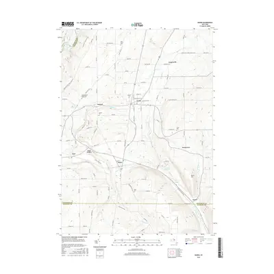 2016 Nunda2016 Print · USGSThe Genesee River valley and the hills of Livingston County are captured here in the mid-2010s, showing the enduring rural layout of Nunda and Dalton. Genealogists can locate several family burial sites like Oakwood Cem and the Oakland Cem near the banks of Keshequa Cr.
- 2019 Map of Ossian, 2019 Print
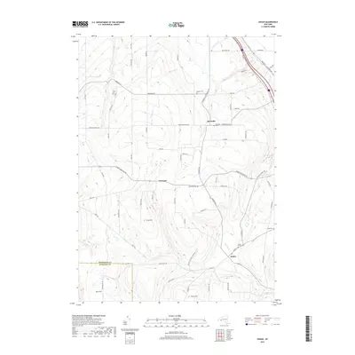 2019 Ossian2019 Print · USGSThe rural borderlands between Livingston and Allegany Counties are captured here in the late twenty-tens. Genealogists can locate several historic burial sites like Byersville Cemetery and Ossian Center Cemetery or trace the early paths of Sugar Creek.
- 2019 Map of Nunda, 2019 Print
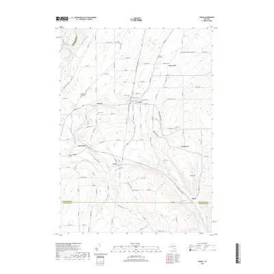 2019 Nunda2019 Print · USGSLivingston County in the late 2010s is defined by the steep river valleys and rural villages surrounding Nunda. Genealogists can locate several historic burial sites like Saint Helena Cem and Coopersville Jones Cem near the banks of Keshequa Cr.
- 2019 Map of Sonyea, 2019 Print
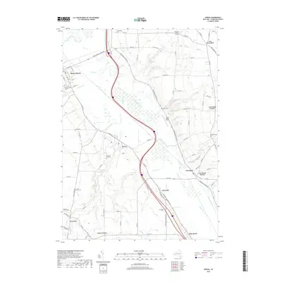 2019 Sonyea2019 Print · USGSThe Genesee River valley and Canaseraga Creek floodplain dominate this Livingston County landscape at the end of the 2010s. Researchers can locate numerous local burial sites like Craig State School Cem and Dutch Street Cem, or trace the rail-and-road corridors through Groveland Station and Sonyea.
- 2019 Map of Mount Morris, 2019 Print
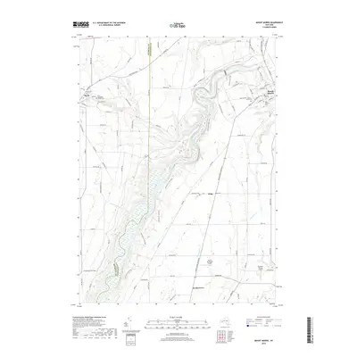 2019 Mount Morris2019 Print · USGSThe Genesee River valley in the modern era reveals a landscape shaped by both nature and small-town industry. Genealogists and local historians can trace legacy sites like Mount Morris Cem, the Tait Race waterway, and the quiet community of Brooks Grove.
- 2019 Map of Geneseo, 2019 Print
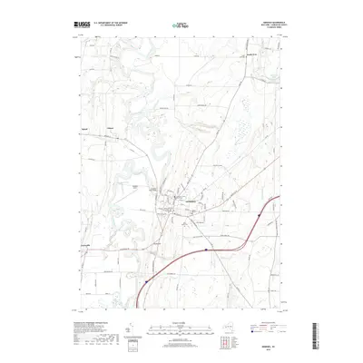 2019 Geneseo2019 Print · USGSThe Genesee Valley comes into sharp focus during the late 2010s, centered on the historic village of Geneseo and its surrounding hamlets. Genealogists and local historians can trace the grounds of Hill Cem, identify the Livingston County Courthouse, or explore the settlement at Piffard.
- 2019 Map of Portageville, 2019 Print
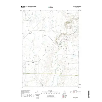 2019 Portageville2019 Print · USGSWestern New York at the edge of the Genesee Valley in recent years shows a landscape of deep river gorges and rural hamlets. Genealogists and historians can trace old homesteads near Mills Mills, Lamont, and the Portageville Pioneer Cem.
End of results
Showing maps 1-24 of 24
Top cities near Mount Morris
- Geneseo historical maps
- Geneseo historical maps
- Livonia historical maps
- Avon historical maps
- Perry historical maps
- North Dansville historical maps
See more
Top neighborhoods of Mount Morris
- Shaker Crossing historical maps
- Ridge historical maps
- Brooks Grove historical maps
- Mount Morris historical maps
- Tuscarora historical maps
Frequently asked questions
- What are the different types of historical maps available for Mount Morris?
- What is the oldest map of Mount Morris?
- Where can I purchase historical maps of Mount Morris for my home or office?
- Where can I download high-res historical maps of Mount Morris?
- Are there historical topographic maps available for Mount Morris?
- Is there historical aerial imagery available for Mount Morris?
- Where are historical maps of Mount Morris sourced from?