2000s (21st Century) Maps of Madison County, New York
Explore 125 historic maps of Madison County from the 2000s (21st Century). These maps offer a rare glimpse into what life looked like during the 2000s — showing old roads, neighborhoods, homes, and landmarks that have changed or disappeared over time.
Whether you're researching your family's past, planning a metal detecting trip, or studying how Madison County's landscape evolved across the 2000s, these high-resolution maps are a powerful tool for exploring the history of this region.
- Focus on a specific era: All maps on this page are from the 2000s, giving you a focused view of this time period.
- See what’s changed: Compare century-old streets, trails, and buildings to today's modern landscape using overlays and satellite layers.
- Research with precision: Use these maps for genealogy, historical research, land use analysis, or educational projects.
- View, download, or print: Maps are fully viewable online in high resolution, and can be downloaded or printed for your own records.
Start exploring Madison County's history through authentic maps from the 2000s. This is your window into the past.
Madison County, NY maps
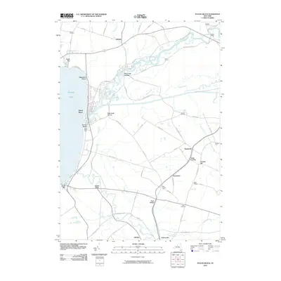
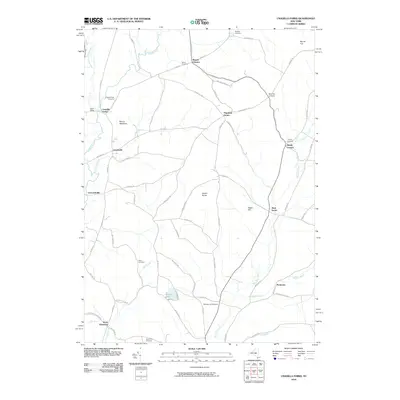
(125)- 2010 Map of Oneida, 2010 Print
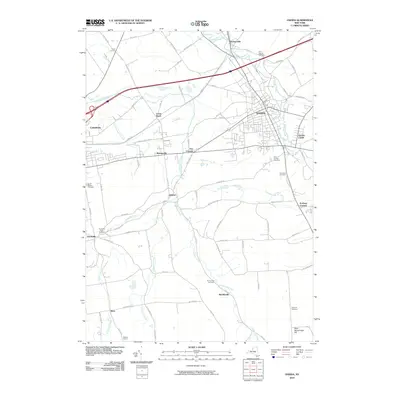 2010 Oneida2010 Print · USGSCovers Madison County, including Oneida, Lenox, and other nearby areas
 - 2010 Map of Erieville, 2010 Print
 2010 Erieville2010 Print · USGSCovers Madison County, including Cazenovia, Nelson, and other nearby areas
 - 2010 Map of Manlius, 2010 Print
 2010 Manlius2010 Print · USGSCovers Madison County, including Manlius, Cicero, and other nearby areas
 - 2010 Map of West Eaton, 2010 Print
 2010 West Eaton2010 Print · USGSCovers Madison County, including Eaton, Nelson, and other nearby areas
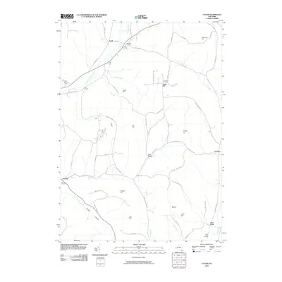
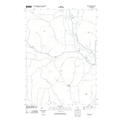
 - 2010 Map of Cazenovia, 2010 Print
 2010 Cazenovia2010 Print · USGSCovers Madison County, including Cazenovia, Cazenovia, and other nearby areas
 - 2010 Map of Otselic, 2010 Print
 2010 Otselic2010 Print · USGSCovers Madison County, including Plymouth, Lebanon, and other nearby areas
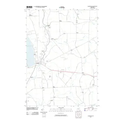
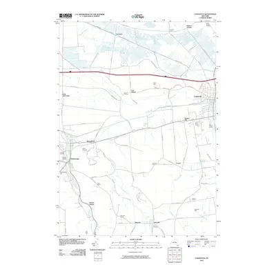
 - 2010 Map of Canastota, 2010 Print
 2010 Canastota2010 Print · USGSCovers Madison County, including Sullivan, Lenox, and other nearby areas
 - 2010 Map of Oran, 2010 Print
 2010 Oran2010 Print · USGSCovers Madison County, including Manlius, Pompey, and other nearby areas
 - 2010 Map of Brookfield, 2010 Print
 2010 Brookfield2010 Print · USGSCovers Madison County, including Sangerfield, Brookfield, and other nearby areas
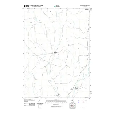
 - 2010 Map of Hubbardsville, 2010 Print
 2010 Hubbardsville2010 Print · USGSCovers Madison County, including Hamilton, Madison, and other nearby areas
 - 2010 Map of Munnsville, 2010 Print
 2010 Munnsville2010 Print · USGSCovers Madison County, including Eaton, Madison, and other nearby areas
 - 2010 Map of Cuyler, 2010 Print
 2010 Cuyler2010 Print · USGSCovers Madison County, including DeRuyter, Solon, and other nearby areas
 - 2010 Map of New Berlin North, 2010 Print
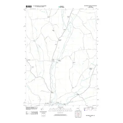 2010 New Berlin North2010 Print · USGSCovers Madison County, including New Berlin, Brookfield, and other nearby areas
 - 2010 Map of Vernon, 2010 Print
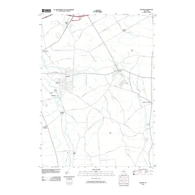 2010 Vernon2010 Print · USGSCovers Madison County, including Oneida, Verona, and other nearby areas
 - 2010 Map of Jewell, 2010 Print
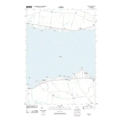 2010 Jewell2010 Print · USGSCovers Madison County, including Sullivan, Lenox, and other nearby areas
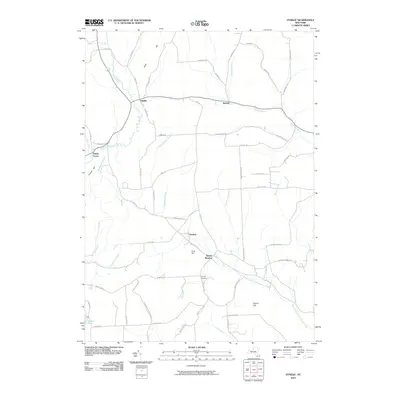
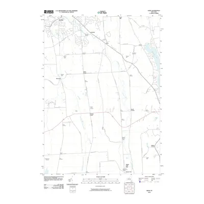
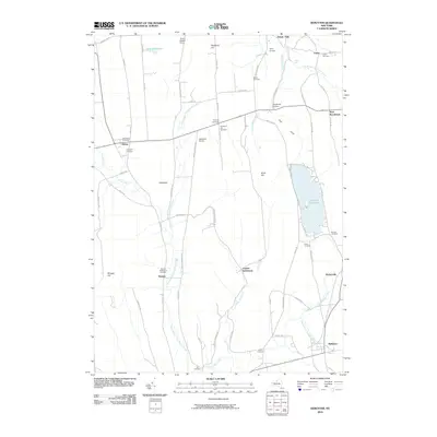
 - 2010 Map of Sherburne, 2010 Print
 2010 Sherburne2010 Print · USGSCovers Madison County, including Hamilton, Sherburne, and other nearby areas
 - 2010 Map of Morrisville, 2010 Print
 2010 Morrisville2010 Print · USGSCovers Madison County, including Eaton, Stockbridge, and other nearby areas
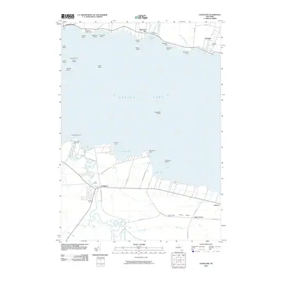
 - 2010 Map of Sylvan Beach, 2010 Print
 2010 Sylvan Beach2010 Print · USGSCovers Madison County, including Rome, Oneida, and other nearby areas
 - 2010 Map of South Otselic, 2010 Print
 2010 South Otselic2010 Print · USGSCovers Madison County, including DeRuyter, Otselic, and other nearby areas
 - 2010 Map of Oriskany Falls, 2010 Print
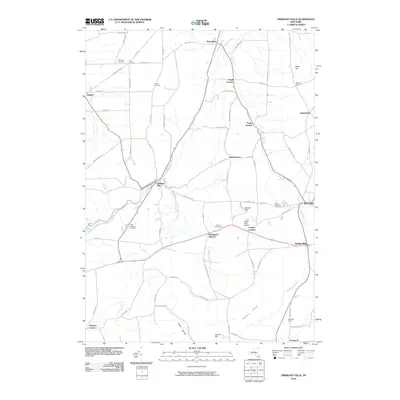 2010 Oriskany Falls2010 Print · USGSCovers Madison County, including Kirkland, Madison, and other nearby areas
 - 2010 Map of Earlville, 2010 Print
 2010 Earlville2010 Print · USGSCovers Madison County, including Hamilton, Sherburne, and other nearby areas
 - 2010 Map of Unadilla Forks, 2010 Print
 2010 Unadilla Forks2010 Print · USGSCovers Madison County, including Brookfield, Richfield, and other nearby areas
 - 2010 Map of DeRuyter, 2010 Print
 2010 DeRuyter2010 Print · USGSCovers Madison County, including Pompey, Cazenovia, and other nearby areas
 - 2010 Map of Cleveland, 2010 Print
 2010 Cleveland2010 Print · USGSCovers Madison County, including Cicero, Sullivan, and other nearby areas
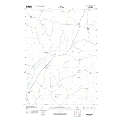
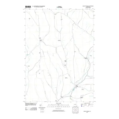
 - 2010 Map of Hamilton, 2010 Print
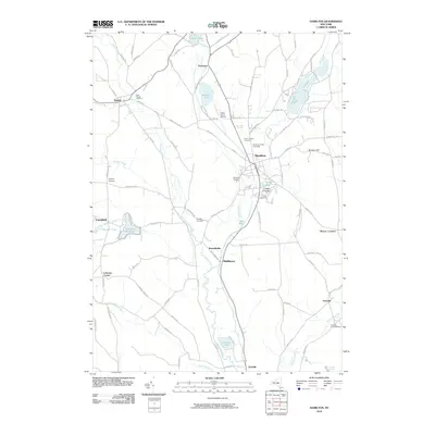 2010 Hamilton2010 Print · USGSCovers Madison County, including Hamilton, Eaton, and other nearby areas
Showing maps 1-25 of 125
Top cities of Madison County
- Sullivan historical maps
- Oneida historical maps
- Lenox historical maps
- Cazenovia historical maps
- Hamilton historical maps
- Eaton historical maps
See more
Frequently asked questions
- What are the different types of historical maps available for Madison County?
- What is the oldest map of Madison County?
- Where can I purchase historical maps of Madison County for my home or office?
- Where can I download high-res historical maps of Madison County?
- Are there historical topographic maps available for Madison County?
- Is there historical aerial imagery available for Madison County?
- Where are historical maps of Madison County sourced from?