2000s (21st Century) Maps of Brookfield, New York
Explore 25 historic maps of Brookfield from the 2000s (21st Century). These maps offer a rare glimpse into what life looked like during the 2000s — showing old roads, neighborhoods, homes, and landmarks that have changed or disappeared over time.
Whether you're researching your family's past, planning a metal detecting trip, or studying how Brookfield's landscape evolved across the 2000s, these high-resolution maps are a powerful tool for exploring the history of this region.
- Focus on a specific era: All maps on this page are from the 2000s, giving you a focused view of this time period.
- See what’s changed: Compare century-old streets, trails, and buildings to today's modern landscape using overlays and satellite layers.
- Research with precision: Use these maps for genealogy, historical research, land use analysis, or educational projects.
- View, download, or print: Maps are fully viewable online in high resolution, and can be downloaded or printed for your own records.
Start exploring Brookfield's history through authentic maps from the 2000s. This is your window into the past.
Brookfield, NY maps
(25)- 2010 Map of Brookfield, 2010 Print
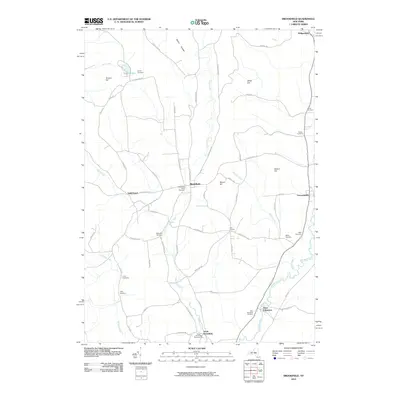 2010 Brookfield2010 Print · USGSCovers Brookfield, including Sangerfield, Edmeston, and other nearby areas
 - 2010 Map of Hubbardsville, 2010 Print
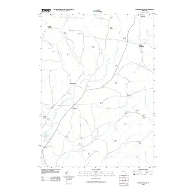 2010 Hubbardsville2010 Print · USGSCovers Brookfield, including Hamilton, Madison, and other nearby areas
 - 2010 Map of New Berlin North, 2010 Print
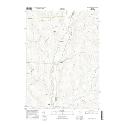
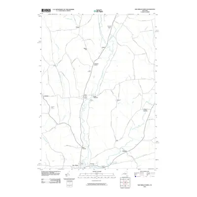 2010 New Berlin North2010 Print · USGSCovers Brookfield, including New Berlin, Edmeston, and other nearby areas
 - 2010 Map of Sherburne, 2010 Print
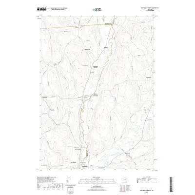
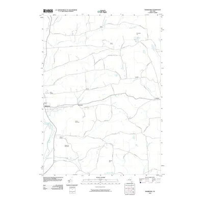 2010 Sherburne2010 Print · USGSCovers Brookfield, including Hamilton, Sherburne, and other nearby areas
 - 2010 Map of Unadilla Forks, 2010 Print
 2010 Unadilla Forks2010 Print · USGSCovers Brookfield, including Richfield, Edmeston, and other nearby areas
 - 2013 Map of Hubbardsville, 2013 Print
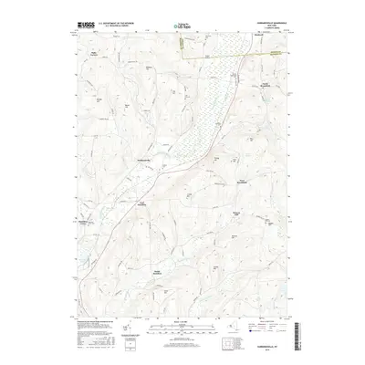
 2013 Hubbardsville2013 Print · USGSCovers Brookfield, including Hamilton, Madison, and other nearby areas
 - 2013 Map of Unadilla Forks, 2013 Print
 2013 Unadilla Forks2013 Print · USGSCovers Brookfield, including Richfield, Edmeston, and other nearby areas
 - 2013 Map of Sherburne, 2013 Print
 2013 Sherburne2013 Print · USGSCovers Brookfield, including Hamilton, Sherburne, and other nearby areas
 - 2013 Map of New Berlin North, 2013 Print
 2013 New Berlin North2013 Print · USGSCovers Brookfield, including New Berlin, Edmeston, and other nearby areas
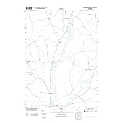
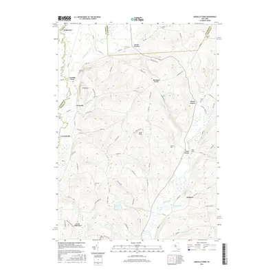
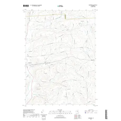
 - 2013 Map of Brookfield, 2013 Print
 2013 Brookfield2013 Print · USGSCovers Brookfield, including Sangerfield, Edmeston, and other nearby areas
 - 2016 Map of Hubbardsville, 2016 Print
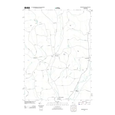
 2016 Hubbardsville2016 Print · USGSCovers Brookfield, including Hamilton, Madison, and other nearby areas
 - 2016 Map of New Berlin North, 2016 Print
 2016 New Berlin North2016 Print · USGSCovers Brookfield, including New Berlin, Edmeston, and other nearby areas
 - 2016 Map of Unadilla Forks, 2016 Print
 2016 Unadilla Forks2016 Print · USGSCovers Brookfield, including Richfield, Edmeston, and other nearby areas
 - 2016 Map of Sherburne, 2016 Print
 2016 Sherburne2016 Print · USGSCovers Brookfield, including Hamilton, Sherburne, and other nearby areas
 - 2016 Map of Brookfield, 2016 Print
 2016 Brookfield2016 Print · USGSCovers Brookfield, including Sangerfield, Edmeston, and other nearby areas
 - 2019 Map of Brookfield, 2019 Print
 2019 Brookfield2019 Print · USGSCovers Brookfield, including Sangerfield, Edmeston, and other nearby areas
 - 2019 Map of Sherburne, 2019 Print
 2019 Sherburne2019 Print · USGSCovers Brookfield, including Hamilton, Sherburne, and other nearby areas
 - 2019 Map of Hubbardsville, 2019 Print
 2019 Hubbardsville2019 Print · USGSCovers Brookfield, including Hamilton, Madison, and other nearby areas
 - 2019 Map of New Berlin North, 2019 Print
 2019 New Berlin North2019 Print · USGSCovers Brookfield, including New Berlin, Edmeston, and other nearby areas
 - 2019 Map of Unadilla Forks, 2019 Print
 2019 Unadilla Forks2019 Print · USGSCovers Brookfield, including Richfield, Edmeston, and other nearby areas
 - 2023 Map of Sherburne, 2023 Print
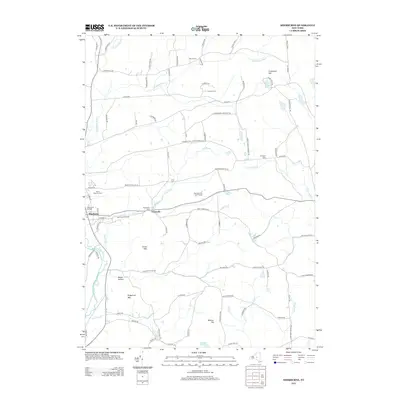
 2023 Sherburne2023 Print · USGSChenango County hill country and river valleys are captured here in the early twenty-first century. Genealogists can locate numerous burial grounds like Tillotson Cem and Palmer Cem or trace the waters of Mad Brook through Sherburne.
 - 2023 Map of Brookfield, 2023 Print
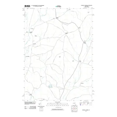
 2023 Brookfield2023 Print · USGSThe Unadilla Valley comes to life in this contemporary survey of the Madison County borderlands. Genealogists can trace family legacies at the Brookfield Rural Cem, Welch Cem, and Mott Cem near the riverbanks of the Unadilla River.
 - 2023 Map of Unadilla Forks, 2023 Print
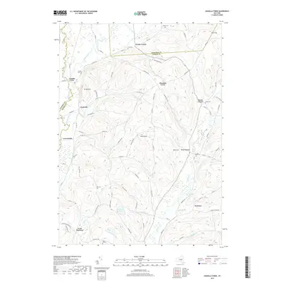
 2023 Unadilla Forks2023 Print · USGSThe Unadilla River valley comes to life in this contemporary survey of the Otsego County borderlands. Genealogists can locate numerous family burial sites, including Unadilla Forks Cem, Huntly Cem, and the high-elevation Bass Cem.
 - 2023 Map of New Berlin North, 2023 Print
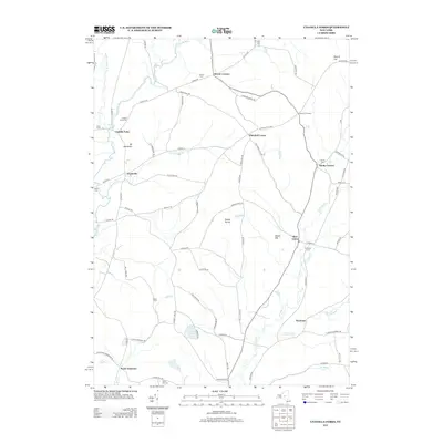
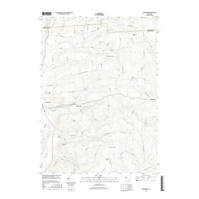
 2023 New Berlin North2023 Print · USGSUpper Chenango and Otsego counties appear here in the early twenty-first century, centered on the winding Unadilla River. Researchers can trace family history through numerous small burial grounds like Gazlay Cem and Greenwood Cem or explore the rural hamlets of Sweets and Five Corners.
 - 2023 Map of Hubbardsville, 2023 Print
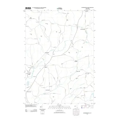
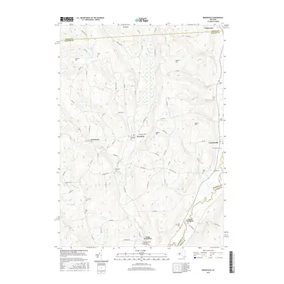
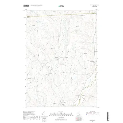
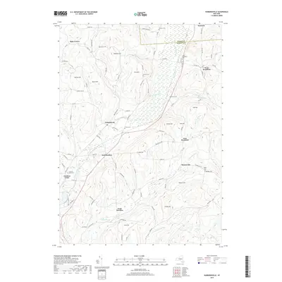
 2023 Hubbardsville2023 Print · USGSMadison County's rural hamlets and upland valleys are captured here in the early twenty-first century. Researchers can trace family history through several burial sites like North Brookfield Cem or locate the headwaters of the Sangerfield River near Hubbardsville and East Hamilton.
End of results
Showing maps 1-25 of 25
Top cities near Brookfield
- New Hartford historical maps
- Kirkland historical maps
- Frankfort historical maps
- Hamilton historical maps
- Vernon historical maps
- Paris historical maps
See more
Top neighborhoods of Brookfield
- North Brookfield historical maps
- Guideboard historical maps
- Leonardsville historical maps
- South Brookfield historical maps
- West Brookfield historical maps
- Moscow Hill historical maps
Frequently asked questions
- What are the different types of historical maps available for Brookfield?
- What is the oldest map of Brookfield?
- Where can I purchase historical maps of Brookfield for my home or office?
- Where can I download high-res historical maps of Brookfield?
- Are there historical topographic maps available for Brookfield?
- Is there historical aerial imagery available for Brookfield?
- Where are historical maps of Brookfield sourced from?