Old Maps of Brookfield, New York for Metal Detecting
Plan your next treasure hunt with 45 historic maps of Brookfield. Find old homesites, ghost towns, trails, and gathering spots that may be lost to time — perfect for identifying promising metal detecting locations.
- Locate forgotten sites: Uncover places like long-lost settlements, abandoned rail lines, or gathering spots.
- Plan better hunts: Use map overlays combined with LiDAR or satellite views to narrow in on historically rich areas.
- Made for detectorists: Thousands of hobbyists use these maps to discover relics, coins, and hidden history.
Use these historic maps to boost your research and find new opportunities beneath the surface of Brookfield.
Brookfield, NY maps
(45)- 1907 Map of Winfield
 1907 Winfield1907 Print · USGSCentral New York's dairy and rail corridor is captured here at the start of the century. Genealogists can trace family names across hamlets like Millers Mills and Plainfield Center, or locate old depots along the Unadilla Valley RR.6 unique versions available
 - 1907 Map of Sangerfield
 1907 Sangerfield1907 Print · USGSOneida and Madison counties meet at the height of the central New York hills in the early twentieth century. Genealogists and local historians can trace the positions of the Budlong Schoolhouse, the industrial activity at Mains Mills, and the path of the Cherry Valley Turnpike.6 unique versions available
 - 1910 Map of New Berlin, 1963 Print
 1910 New Berlin1963 Print · USGSThe Unadilla and Chenango river valleys are seen here in the early twentieth century as established rail corridors and farming hubs. Researchers can trace the N Y O & W R R line through Holmesville or locate family sites like Kings Settlement and the Dimmick Hollow School.
 - 1912 Map of New Berlin
 1912 New Berlin1912 Print · USGSChenango County's river valleys and dairy uplands are meticulously captured in this pre-war survey of the New Berlin area. Genealogists can locate family-named landmarks and institutions like Columbus Hill Church, Kings Settlement, and the Dimmick Hollow School.4 unique versions available
 - 1943 Map of New Berlin North, 1957 Print
 1943 New Berlin North1957 Print · USGSChenango and Otsego counties meet along the river in the 1940s, showing a landscape of interconnected valley farms and upland hamlets. Genealogists can trace family sites like Lloyd Cem and Perkinsons Cem or follow the Unadilla Valley River rail line.4 unique versions available
 - 1943 Map of Hubbardsville, 1960 Print
 1943 Hubbardsville1960 Print · USGSMadison County's rural landscape is captured here during the 1940s, centered on the wetlands of Ninemile Swamp. Genealogists and historians can trace dozens of family-named intersections like Sixby Corners and vanished local landmarks like School No 8.2 unique versions available
 - 1943 Map of Unadilla Forks, 1960 Print
 1943 Unadilla Forks1960 Print · USGSThe central New York uplands come into focus in the 1940s at the junction of four counties. Genealogists can trace family landmarks like Beverly Inn Corners, Spooner Corners, and the Taylor Hill Cem.2 unique versions available
 - 1943 Map of Sangerfield, 1960 Print
 1943 Sangerfield1960 Print · USGSCentral New York's dairy and rail heartland is meticulously documented here during the mid-forties. Genealogists and local historians can trace family-named crossroads and rural schoolhouses like Doolittle Sch, Brothertown, and Greens Crossing.
 - 1943 Map of Brookfield, 1960 Print
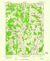 1943 Brookfield1960 Print · USGSMadison and Otsego County villages thrive along the Unadilla River during the early 1940s. Genealogists can trace family footprints at Gorton Cem, School No 28, and the old Fairground at Brookfield.2 unique versions available
 - 1943 Map of Sherburne, 1960 Print
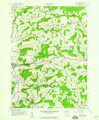 1943 Sherburne1960 Print · USGSChenango County agriculture and small-town life are documented here during the early 1940s. Genealogists can locate family landmarks such as Tillotson Cem, East Hill Cem, and the numerous rural schoolhouses serving the Sherburne and Columbus districts.4 unique versions available
 - 1944 Map of Hubbardsville
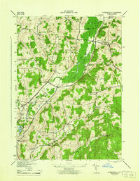 1944 Hubbardsville1944 Print · USGSCentral New York’s rural landscape is captured here during the 1940s, showing a network of hamlets and family-named hill country. Genealogists can locate specific sites like Cole Hill Cem, Stockwell, and numerous district schools including Black Sch.
 - 1945 Map of Brookfield
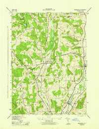 1945 Brookfield1945 Print · USGSMadison and Oneida counties are captured here in the 1940s, showing a landscape of upland farms and valley river towns. Genealogists can locate family landmarks such as Gorton Cem, Waterman Sch, and the riverside community of Leonardsville.
 - 1945 Map of Sherburne
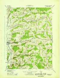 1945 Sherburne1945 Print · USGSChenango County and the Chenango River valley appear here during the mid-forties, capturing a landscape of upland farms and valley commerce. Researchers can trace the Abandoned Chenango Canal near Sherburne or locate old schoolhouses and cemeteries like Tillotson Cem and School No 13.
 - 1945 Map of New Berlin North
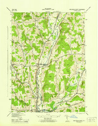 1945 New Berlin North1945 Print · USGSThe Unadilla River valley during the mid-forties shows a landscape of tightly-knit farm communities and rural crossroads. Genealogists and local historians can trace family locations through numerous sites like Lloyd Cem, Tallette, and Amblers Crossing.
 - 1945 Map of Unadilla Forks
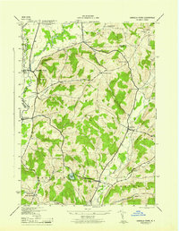 1945 Unadilla Forks1945 Print · USGSThe Unadilla River valley during the 1940s reveals a landscape of high ridges and active rail-side settlements at the intersection of three counties. Local historians can trace the development of hamlets like Leonardsville and West Exeter, or locate rural landmarks such as School No 8 and Wood Cem.
 - 1948 Map of Binghamton, 1980 Print
 1948 Binghamton1980 Print · USGSCentral New York and the Southern Tier thrive in the late 1940s as a hub of rail traffic and mountain industry. Researchers can trace historic transit lines like the Erie Railroad through Binghamton or find old valley settlements near Oneonta and Delhi.
 - 1950 Map of Binghamton
 1950 Binghamton1950 Print · USGSBinghamton and the surrounding Southern Tier are shown in the mid-century era, highlighting the intricate rail and river networks that drove local industry. Researchers can trace the path of the Erie Railroad and locate landmarks from Otsego Lake to Sidney Mountain.2 unique versions available
 - 1958 Map of Binghamton
 1958 Binghamton1958 Print · USGSCentral New York in the late fifties was a network of manufacturing cities and river valleys connected by vital rail lines. Genealogists and historians can trace family roots in Oneonta, Norwich, and Cooperstown or locate long-standing farms along Schoharie Creek.
 - 1963 Map of Binghamton
 1963 Binghamton1963 Print · USGSThe Southern Tier and Catskill peaks are shown in the early sixties as new reservoirs reshaped the valleys. Trace historic rail corridors like the Erie Lackawanna RR and explore lakeside settlements such as Cooperstown and Oneonta.
 - 1986 Map of Norwich
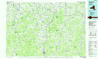 1986 Norwich1986 Print · USGSCentral New York in the mid-eighties was a landscape of deep river valleys and university towns connected by historic rail corridors and state highways. Researchers can trace the rural infrastructure of Norwich and Hamilton, finding landmarks like Colgate University and the Seventh Day Hollow Church.2 unique versions available
 - 2010 Map of Brookfield, 2010 Print
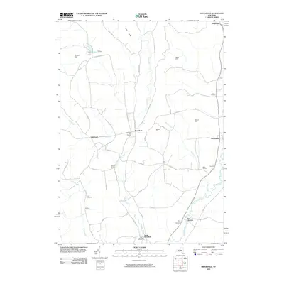 2010 Brookfield2010 Print · USGSUpstate New York's Unadilla Valley is captured here in the early twenty-first century, showing a rural landscape of scattered hamlets and hill farms. Genealogists can locate numerous burial sites across the township, including Waterman, Welch, and Clarke cemeteries.
 - 2010 Map of Hubbardsville, 2010 Print
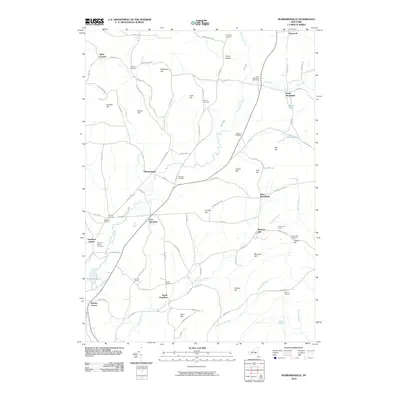 2010 Hubbardsville2010 Print · USGSMadison County's rural valleys and uplands are documented here during the early 21st century, showing the enduring structure of its historic hamlets. Researchers can trace family sites near Hubbardsville or locate ancestral burial grounds like Quaker Hill Cemetery and Cole Hill Cemetery.
 - 2010 Map of New Berlin North, 2010 Print
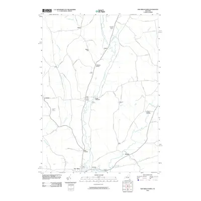 2010 New Berlin North2010 Print · USGSThe Unadilla River valley comes to life in this detailed survey of Chenango County during the early twenty-first century. Genealogists and local historians can trace family locations near Columbus Center Cemetery or explore the rural layout of hamlets like South Edmeston and Button City.
 - 2010 Map of Sherburne, 2010 Print
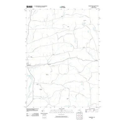 2010 Sherburne2010 Print · USGSMadison County at the turn of the decade is defined by its small villages and high ridges above the Chenango River. Researchers can locate several burial grounds like Saint Malachy Cemetery and community anchors such as the Sherburne Grange.
 - 2010 Map of Unadilla Forks, 2010 Print
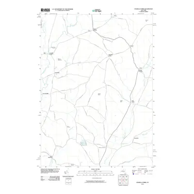 2010 Unadilla Forks2010 Print · USGSIn the hills of central New York, this 2010 survey captures a landscape of historic hamlets and river valleys. Researchers can trace family history through numerous rural burial sites like Bass Cemetery and Huntly Cemetery or locate old crossroads at Beverly Inn Corners.
Showing maps 1-25 of 45
Top cities near Brookfield
- New Hartford historical maps
- Kirkland historical maps
- Frankfort historical maps
- Hamilton historical maps
- Vernon historical maps
- Paris historical maps
See more
Top neighborhoods of Brookfield
- North Brookfield historical maps
- Guideboard historical maps
- Leonardsville historical maps
- South Brookfield historical maps
- West Brookfield historical maps
- Moscow Hill historical maps
Frequently asked questions
- What are the different types of historical maps available for Brookfield?
- What is the oldest map of Brookfield?
- Where can I purchase historical maps of Brookfield for my home or office?
- Where can I download high-res historical maps of Brookfield?
- Are there historical topographic maps available for Brookfield?
- Is there historical aerial imagery available for Brookfield?
- Where are historical maps of Brookfield sourced from?