2000s (21st Century) Maps of Fenner, New York
Explore 20 historic maps of Fenner from the 2000s (21st Century). These maps offer a rare glimpse into what life looked like during the 2000s — showing old roads, neighborhoods, homes, and landmarks that have changed or disappeared over time.
Whether you're researching your family's past, planning a metal detecting trip, or studying how Fenner's landscape evolved across the 2000s, these high-resolution maps are a powerful tool for exploring the history of this region.
- Focus on a specific era: All maps on this page are from the 2000s, giving you a focused view of this time period.
- See what’s changed: Compare century-old streets, trails, and buildings to today's modern landscape using overlays and satellite layers.
- Research with precision: Use these maps for genealogy, historical research, land use analysis, or educational projects.
- View, download, or print: Maps are fully viewable online in high resolution, and can be downloaded or printed for your own records.
Start exploring Fenner's history through authentic maps from the 2000s. This is your window into the past.
Fenner, NY maps
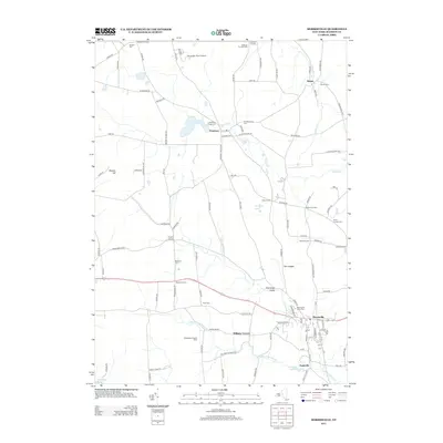
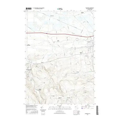
(20)- 2010 Map of Oneida, 2010 Print
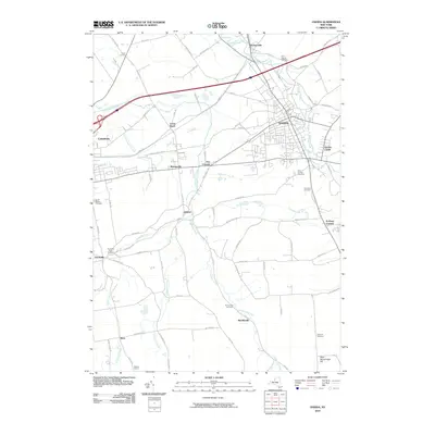 2010 Oneida2010 Print · USGSCovers Fenner, including Oneida, Lenox, and other nearby areas
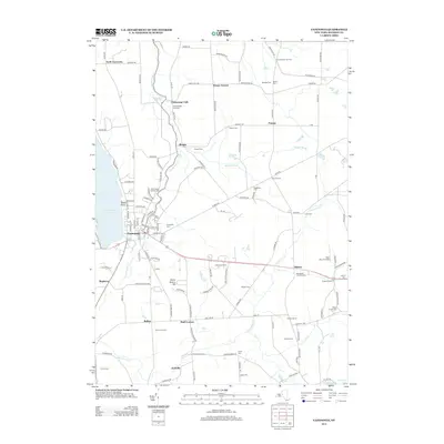
 - 2010 Map of Cazenovia, 2010 Print
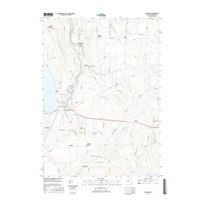
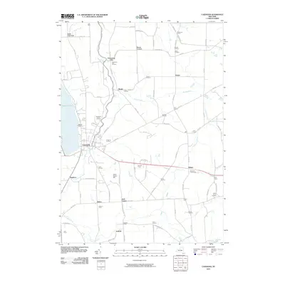 2010 Cazenovia2010 Print · USGSCovers Fenner, including Cazenovia, Cazenovia, and other nearby areas
 - 2010 Map of Canastota, 2010 Print
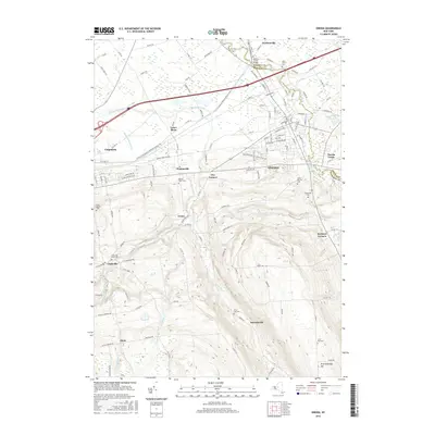
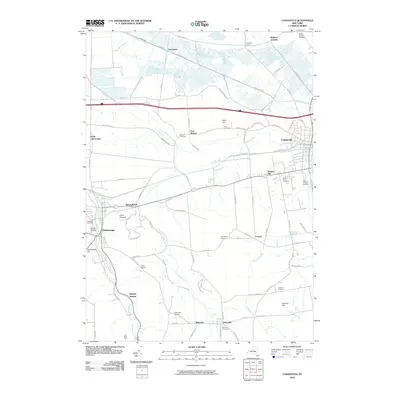 2010 Canastota2010 Print · USGSCovers Fenner, including Sullivan, Lenox, and other nearby areas
 - 2010 Map of Morrisville, 2010 Print
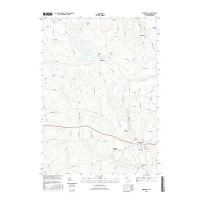
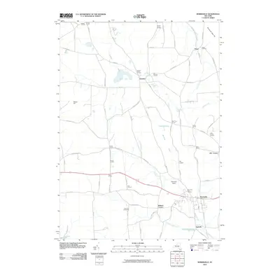 2010 Morrisville2010 Print · USGSCovers Fenner, including Eaton, Stockbridge, and other nearby areas
 - 2013 Map of Morrisville, 2013 Print
 2013 Morrisville2013 Print · USGSCovers Fenner, including Eaton, Stockbridge, and other nearby areas
 - 2013 Map of Cazenovia, 2013 Print
 2013 Cazenovia2013 Print · USGSCovers Fenner, including Cazenovia, Cazenovia, and other nearby areas
 - 2013 Map of Canastota, 2013 Print
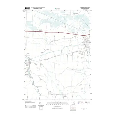 2013 Canastota2013 Print · USGSCovers Fenner, including Sullivan, Lenox, and other nearby areas
 - 2013 Map of Oneida, 2013 Print
 2013 Oneida2013 Print · USGSCovers Fenner, including Oneida, Lenox, and other nearby areas
 - 2016 Map of Canastota, 2016 Print
 2016 Canastota2016 Print · USGSCovers Fenner, including Sullivan, Lenox, and other nearby areas
 - 2016 Map of Morrisville, 2016 Print
 2016 Morrisville2016 Print · USGSCovers Fenner, including Eaton, Stockbridge, and other nearby areas
 - 2016 Map of Cazenovia, 2016 Print
 2016 Cazenovia2016 Print · USGSCovers Fenner, including Cazenovia, Cazenovia, and other nearby areas
 - 2016 Map of Oneida, 2016 Print
 2016 Oneida2016 Print · USGSCovers Fenner, including Oneida, Lenox, and other nearby areas
 - 2019 Map of Cazenovia, 2019 Print
 2019 Cazenovia2019 Print · USGSCovers Fenner, including Cazenovia, Cazenovia, and other nearby areas
 - 2019 Map of Morrisville, 2019 Print
 2019 Morrisville2019 Print · USGSCovers Fenner, including Eaton, Stockbridge, and other nearby areas
 - 2019 Map of Canastota, 2019 Print
 2019 Canastota2019 Print · USGSCovers Fenner, including Sullivan, Lenox, and other nearby areas
 - 2019 Map of Oneida, 2019 Print
 2019 Oneida2019 Print · USGSCovers Fenner, including Oneida, Lenox, and other nearby areas
 - 2023 Map of Morrisville, 2023 Print
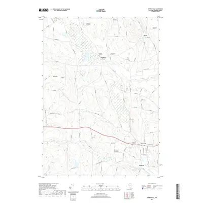
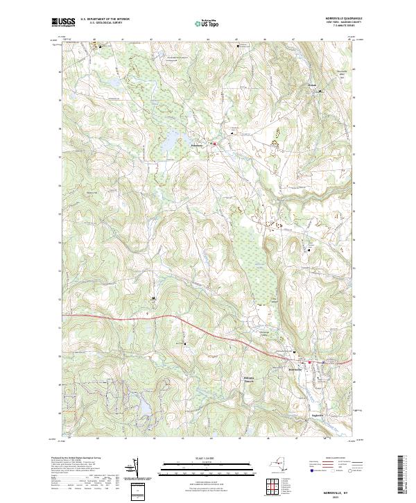 2023 Morrisville2023 Print · USGSThe headwaters of the Chenango River and Oneida Creek define this Madison County landscape as it appears today. Genealogists can trace family names at the Peterboro Cem and Morrisville Rural Cem, while the sprawling Peterboro Swamp highlights the area's distinct natural drainage.
 - 2023 Map of Cazenovia, 2023 Print
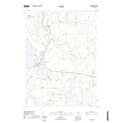
 2023 Cazenovia2023 Print · USGSCazenovia and the surrounding Madison County uplands are documented here in the early twenty-first century. Genealogists and local historians can trace the positions of numerous rural burial sites like Haight Cem and Needham Cem or locate Cazenovia College near the lakefront.
 - 2023 Map of Canastota, 2023 Print
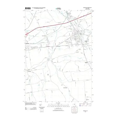
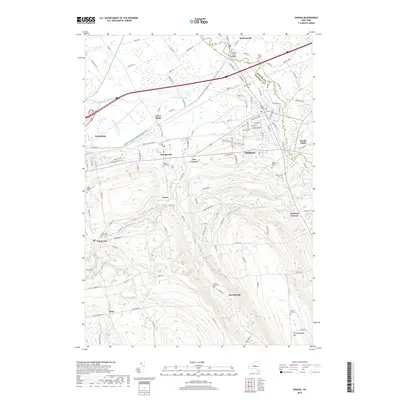
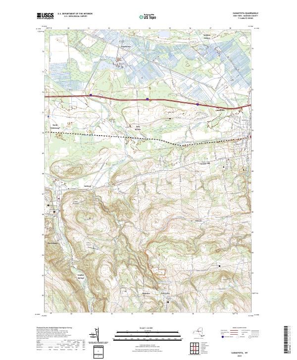 2023 Canastota2023 Print · USGSMadison County hamlets and villages are documented here in 2023, from the canalside history of Canastota to the upland slopes of Perryville. Genealogists and historians can trace local family landmarks like Allis Hill and several rural burial grounds, including Oakwood Cem and Harrington Cem.
 - 2023 Map of Oneida, 2023 Print
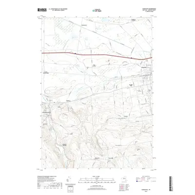
 2023 Oneida2023 Print · USGSMadison County's central corridor is captured in the modern era, showing the transition from the city of Oneida to the surrounding hills. Family historians can trace local roots at Saint Patricks Cem, the Madison County Courthouse, or the vanished industrial footprints of Lenox Basin.
End of results
Showing maps 1-20 of 20
Top cities near Fenner
- Manlius historical maps
- Rome historical maps
- Cicero historical maps
- Sullivan historical maps
- Oneida historical maps
- Lenox historical maps
See more
Top neighborhoods of Fenner
- Chittenango Falls historical maps
- Blakeslee historical maps
- Bingley historical maps
- Perryville historical maps
Frequently asked questions
- What are the different types of historical maps available for Fenner?
- What is the oldest map of Fenner?
- Where can I purchase historical maps of Fenner for my home or office?
- Where can I download high-res historical maps of Fenner?
- Are there historical topographic maps available for Fenner?
- Is there historical aerial imagery available for Fenner?
- Where are historical maps of Fenner sourced from?