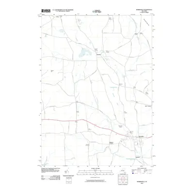
2010 Map of Morrisville
USGS Topo · Published 2010About this map
Morrisville sits as a central hub in this Madison County landscape, where the Chenango River and the waters of Electric Light Stream meet near the settlement of Eagleville. The geography is defined by significant wetland systems, most notably the Peterboro Swamp and Morrisville Swamp, which have historically influenced the local road network and settlement patterns. To the north, the village of Peterboro is surrounded by numerous burial grounds including the Peterboro Village Cemetery and the Old Peterboro Cemetery.
Find a feature on this map
82 named features on this map. Tap any name to fly to it.
Don’t see what you’re looking for? This feature index may not catch every label — zoom into the map to look around manually.
Map Details
Editions of this 2010 Morrisville Map
This is the sole edition of this map. No revisions or reprints were ever made.
Other maps of this area

1895 · Chittenango
USGS Topo · 1:62,500

1895 · Oneida
USGS Topo · 1:62,500

1897 · Cazenovia
USGS Topo · 1:62,500

1898 · Oneida
USGS Topo · 1:62,500

1898 · Chittenango
USGS Topo · 1:62,500

1899 · Cazenovia
USGS Topo · 1:62,500

1902 · Chittenango
USGS Topo · 1:62,500

1902 · Morrisville
USGS Topo · 1:62,500

1902 · Oneida
USGS Topo · 1:62,500

1939 · Oneida
USGS Topo · 1:62,500