2000s (21st Century) Maps of Fort Plain, Minden
Explore 10 historic maps of Fort Plain from the 2000s (21st Century). These maps offer a rare glimpse into what life looked like during the 2000s — showing old roads, neighborhoods, homes, and landmarks that have changed or disappeared over time.
Whether you're researching your family's past, planning a metal detecting trip, or studying how Fort Plain's landscape evolved across the 2000s, these high-resolution maps are a powerful tool for exploring the history of this region.
- Focus on a specific era: All maps on this page are from the 2000s, giving you a focused view of this time period.
- See what’s changed: Compare century-old streets, trails, and buildings to today's modern landscape using overlays and satellite layers.
- Research with precision: Use these maps for genealogy, historical research, land use analysis, or educational projects.
- View, download, or print: Maps are fully viewable online in high resolution, and can be downloaded or printed for your own records.
Start exploring Fort Plain's history through authentic maps from the 2000s. This is your window into the past.
Fort Plain, Minden maps
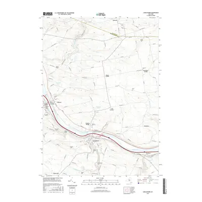
(10)- 2010 Map of Canajoharie, 2010 Print
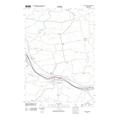 2010 Canajoharie2010 Print · USGSCovers Fort Plain, including Minden, Canajoharie, and other nearby areas
 - 2010 Map of Fort Plain, 2010 Print
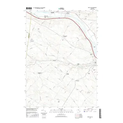
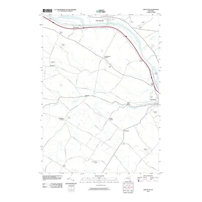 2010 Fort Plain2010 Print · USGSCovers Fort Plain, including Minden, Canajoharie, and other nearby areas
 - 2013 Map of Canajoharie, 2013 Print
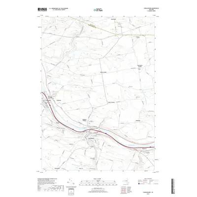
 2013 Canajoharie2013 Print · USGSCovers Fort Plain, including Minden, Canajoharie, and other nearby areas
 - 2013 Map of Fort Plain, 2013 Print
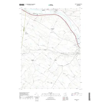
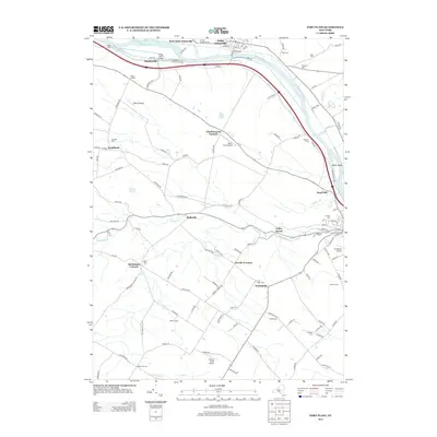 2013 Fort Plain2013 Print · USGSCovers Fort Plain, including Minden, Canajoharie, and other nearby areas
 - 2016 Map of Fort Plain, 2016 Print
 2016 Fort Plain2016 Print · USGSCovers Fort Plain, including Minden, Canajoharie, and other nearby areas
 - 2016 Map of Canajoharie, 2016 Print
 2016 Canajoharie2016 Print · USGSCovers Fort Plain, including Minden, Canajoharie, and other nearby areas
 - 2019 Map of Fort Plain, 2019 Print
 2019 Fort Plain2019 Print · USGSCovers Fort Plain, including Minden, Canajoharie, and other nearby areas
 - 2019 Map of Canajoharie, 2019 Print
 2019 Canajoharie2019 Print · USGSCovers Fort Plain, including Minden, Canajoharie, and other nearby areas
 - 2023 Map of Fort Plain, 2023 Print
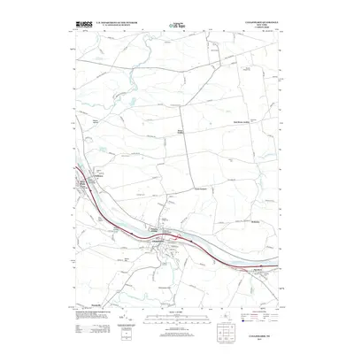
 2023 Fort Plain2023 Print · USGSThe Mohawk Valley corridor in the early 21st century remains defined by its historic water routes and compact riverside settlements. Genealogists and historians can trace family ties through several rural burial grounds such as Mount Hope Cem and Yerding Cem, or explore the transit heritage of the Erie Canal and Nelliston.
 - 2023 Map of Canajoharie, 2023 Print
 2023 Canajoharie2023 Print · USGSThe Mohawk River corridor thrives in this modern survey of central New York, where industrial river towns meet traditional upland farming hamlets. Researchers can trace family history through numerous burial grounds like Prospect Hill Cem or locate landmarks like Canajoharie Falls and Wintergreen Flats.
End of results
Showing maps 1-10 of 10
Top cities near Fort Plain
- Johnstown historical maps
- Johnstown historical maps
- Cobleskill historical maps
- Little Falls historical maps
- Minden historical maps
- Canajoharie historical maps
See more
Frequently asked questions
- What are the different types of historical maps available for Fort Plain?
- What is the oldest map of Fort Plain?
- Where can I purchase historical maps of Fort Plain for my home or office?
- Where can I download high-res historical maps of Fort Plain?
- Are there historical topographic maps available for Fort Plain?
- Is there historical aerial imagery available for Fort Plain?
- Where are historical maps of Fort Plain sourced from?