Old Maps of Root Center, Root for Metal Detecting
Plan your next treasure hunt with 15 historic maps of Root Center. Find old homesites, ghost towns, trails, and gathering spots that may be lost to time — perfect for identifying promising metal detecting locations.
- Locate forgotten sites: Uncover places like long-lost settlements, abandoned rail lines, or gathering spots.
- Plan better hunts: Use map overlays combined with LiDAR or satellite views to narrow in on historically rich areas.
- Made for detectorists: Thousands of hobbyists use these maps to discover relics, coins, and hidden history.
Use these historic maps to boost your research and find new opportunities beneath the surface of Root Center.
Root Center, Root maps
(15)- 1896 Map of Fonda
 1896 Fonda1896 Print · USGSThe Mohawk Valley was a technological corridor in the 1890s, defined by the convergence of major rail lines and the Erie Canal. Genealogists and historians can trace the old post offices and hamlet life at Yatesville Randall P.O., Auriesville, and Rural Grove.
 - 1898 Map of Fonda
 1898 Fonda1898 Print · USGSThe Mohawk Valley at the close of the 19th century was a powerhouse of transit and industry. Genealogists and historians can trace the bustling Erie Canal corridor through Fonda, the upland reaches of Charleston, and the path of the West Shore R. R.
 - 1902 Map of Fonda
 1902 Fonda1902 Print · USGSThe Mohawk Valley at the close of the nineteenth century reveals a critical junction of the Erie Canal and major railroads. Genealogists and historians can trace old homesteads and local centers like Auriesville, Sammonsville, and the remote Charleston Four Corners.8 unique versions available
 - 1943 Map of Carlisle, 1957 Print
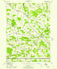 1943 Carlisle1957 Print · USGSUpper Montgomery and Schoharie counties appear here during the mid-forties, characterized by a dense network of upland farms and crossroads hamlets. Researchers can locate numerous local landmarks like Charleston Four Corners, Gove Cem, and the Cherry Valley Turnpike.2 unique versions available
 - 1945 Map of Carlisle
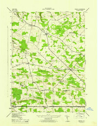 1945 Carlisle1945 Print · USGSMid-century Montgomery and Schoharie Counties appear as a landscape of crossroads hamlets and country schools just after the war. You can trace early family sites like Lykers Cem or follow the historic path of the CHERRY VALLEY TURNPIKE through Carlisle.
 - 1948 Map of Binghamton, 1980 Print
 1948 Binghamton1980 Print · USGSCentral New York and the Southern Tier thrive in the late 1940s as a hub of rail traffic and mountain industry. Researchers can trace historic transit lines like the Erie Railroad through Binghamton or find old valley settlements near Oneonta and Delhi.
 - 1950 Map of Binghamton
 1950 Binghamton1950 Print · USGSBinghamton and the surrounding Southern Tier are shown in the mid-century era, highlighting the intricate rail and river networks that drove local industry. Researchers can trace the path of the Erie Railroad and locate landmarks from Otsego Lake to Sidney Mountain.2 unique versions available
 - 1958 Map of Binghamton
 1958 Binghamton1958 Print · USGSCentral New York in the late fifties was a network of manufacturing cities and river valleys connected by vital rail lines. Genealogists and historians can trace family roots in Oneonta, Norwich, and Cooperstown or locate long-standing farms along Schoharie Creek.
 - 1963 Map of Binghamton
 1963 Binghamton1963 Print · USGSThe Southern Tier and Catskill peaks are shown in the early sixties as new reservoirs reshaped the valleys. Trace historic rail corridors like the Erie Lackawanna RR and explore lakeside settlements such as Cooperstown and Oneonta.
 - 1985 Map of Amsterdam, 1986 Print
 1985 Amsterdam1986 Print · USGSUpstate New York in the mid-1980s reveals a landscape defined by historic river valleys and expanding interstate corridors. Researchers can trace family sites near Stone Arabia Cemetery or explore the civic centers of Amsterdam and Cooperstown near Otsego Lake.2 unique versions available
 - 2010 Map of Carlisle, 2010 Print
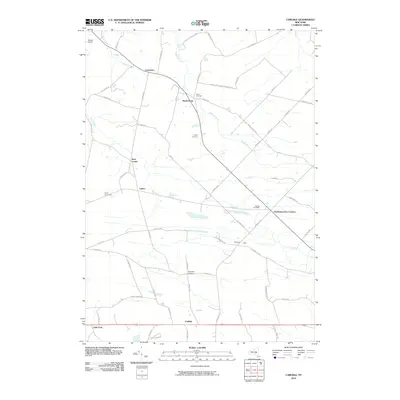 2010 Carlisle2010 Print · USGSMontgomery County’s rural crossroads and hamlets are preserved here in the years following the millennium. Genealogists and local historians can locate several family burial sites like Lykers Cemetery or trace the geography of settlements at Root Center and Little York.
 - 2013 Map of Carlisle, 2013 Print
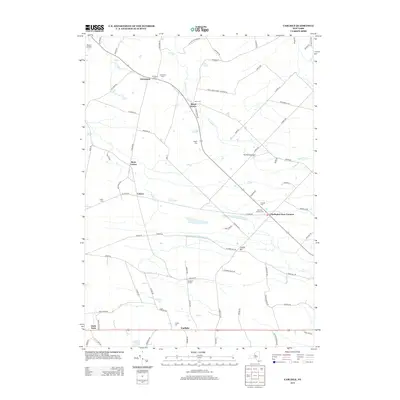 2013 Carlisle2013 Print · USGSThe rural uplands of Montgomery County are documented here in the early 2010s, showing a landscape of small hamlets and generational farms. Family historians can locate numerous burial sites and crossroads such as Currytown Cem, Lykers, and Charleston Four Corners.
 - 2016 Map of Carlisle, 2016 Print
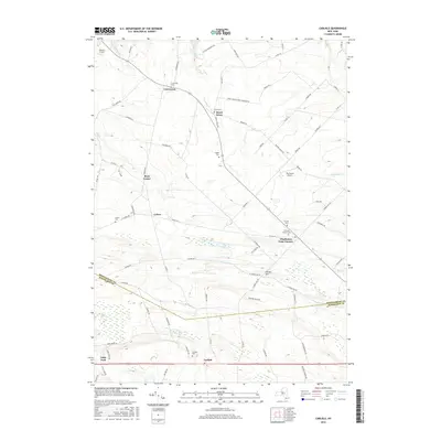 2016 Carlisle2016 Print · USGSThis rural portion of Montgomery and Schoharie Counties appears here in the mid-2010s, showing a landscape defined by historic hamlets and upland farms. Genealogists can trace family footprints across numerous sites like Currytown Cem, Lykers, and Charleston Four Corners.
 - 2019 Map of Carlisle, 2019 Print
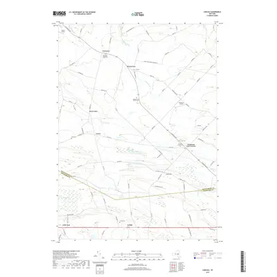 2019 Carlisle2019 Print · USGSModern Montgomery and Schoharie counties retain their rural character through hamlets like Charleston Four Corners and Rural Grove. Family historians can trace deep roots at the Haight Family Burial Ground, Currytown Reformed Church Cem, and Friends Cem.
 - 2023 Map of Carlisle, 2023 Print
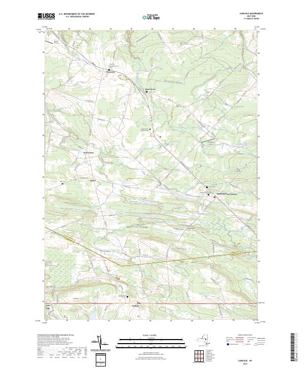 2023 Carlisle2023 Print · USGSUpper New York State’s rural hamlets and family farmsteads are preserved here in a detailed contemporary portrait of Montgomery County. Genealogists can trace local lineages through sites like the Haight Family Burial Ground, Currytown Reformed Church Cem, and the quiet crossroads of Charleston Four Corners.
End of results
Showing maps 1-15 of 15
Top cities near Root Center
- Gloversville historical maps
- Johnstown historical maps
- Johnstown historical maps
- Mayfield historical maps
- Cobleskill historical maps
- Duanesburg historical maps
See more
Frequently asked questions
- What are the different types of historical maps available for Root Center?
- What is the oldest map of Root Center?
- Where can I purchase historical maps of Root Center for my home or office?
- Where can I download high-res historical maps of Root Center?
- Are there historical topographic maps available for Root Center?
- Is there historical aerial imagery available for Root Center?
- Where are historical maps of Root Center sourced from?