Old Maps of Saint Johnsville, New York for Genealogy
Trace your family roots with 56 historic maps of Saint Johnsville. These high-res maps reveal old neighborhoods, homesites, landmarks, and streets — helping you uncover where your ancestors lived and how the area evolved over time.
- Explore historic neighborhoods: Identify where your relatives may have lived in the 1800s or 1900s.
- Compare maps over time: Trace the changes in streets, buildings, and landmarks for multi-generational research.
- Perfect for genealogy & ancestry research: Used by family historians and researchers to map out lineage and migration.
These maps are an incredible resource for exploring your personal connection to Saint Johnsville's past.
Saint Johnsville, NY maps
(56)- 1898 Map of Canajoharie, 1954 Print
 1898 Canajoharie1954 Print · USGSThe Mohawk Valley was at its industrial peak in the late 1890s, when the river, canal, and railroads all shared the same narrow corridor. Genealogists and historians can trace old homesteads and local landmarks in Stone Arabia, Ft. Plain, and the historic resort at Sharon Springs.
 - 1900 Map of Little Falls
 1900 Little Falls1900 Print · USGSThe Mohawk River valley serves as a bustling industrial artery at the turn of the century, dominated by canal and rail traffic. Genealogists can trace the early footprints of Little Falls, find the County House, or locate vanished stops like Ingham Mills Sta.
 - 1900 Map of Canajoharie
 1900 Canajoharie1900 Print · USGSThe Mohawk Valley at the turn of the century shows a dense network of canal, rail, and river transportation. Genealogists can trace family footprints in historic Canajoharie, the upland farms near Stone Arabia, and the resort area of Sharon Springs.
 - 1901 Map of Lassellsville, 1959 Print
 1901 Lassellsville1959 Print · USGSFulton and Montgomery Counties come alive in this turn-of-the-century survey of the Mohawk Valley and southern Adirondacks. Genealogists and researchers can pinpoint family holdings near Irish Settlement, the industry of Newkirk Mills, and the rails of the N. Y. C. and H. R. R. R.
 - 1902 Map of Canajoharie
 1902 Canajoharie1902 Print · USGSThe Mohawk Valley was a bustling corridor of canal traffic and steam power just after the turn of the century. Genealogists can trace family names and farmsteads near Stone Arabia or explore the resort layout of Sharon Springs and the industrial hubs of Ft. Plain and Canajoharie.6 unique versions available
 - 1903 Map of Lassellsville
 1903 Lassellsville1903 Print · USGSFulton County at the start of the century shows a landscape of upland mill sites and busy valley railroads. Genealogists can trace family names at Irish Settlement, Fical Corners, and the mill sites at Newkirk Mills.6 unique versions available
 - 1903 Map of Little Falls
 1903 Little Falls1903 Print · USGSThe Mohawk Valley was a bustling corridor of industry and transit at the turn of the century, where the river met a network of canals and railroads. Genealogists and historians can trace the foundations of Little Falls, find the historic site of Fort Herkimer, and locate rural landmarks like the County House.6 unique versions available
 - 1939 Map of Little Falls
 1939 Little Falls1939 Print · USGSThe Mohawk Valley was a bustling corridor of rail and water transport just before the mid-century, centered on the narrow gorge at Little Falls. Genealogists and historians can trace the paths of the Adirondack Division railroad and historic sites like Fort Herkimer and Indian Castle.
 - 1943 Map of Little Falls, 1960 Print
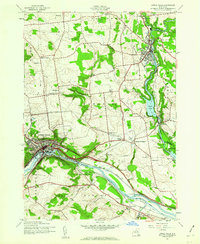 1943 Little Falls1960 Print · USGSThe Mohawk Valley at the height of the Second World War shows a landscape defined by the Barge Canal and industrial hubs like Little Falls. Trace family roots at the Fink-Van Valkenburg Cem or locate rural landmarks like Yellow Ch.2 unique versions available
 - 1944 Map of Canajoharie, 1953 Print
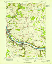 1944 Canajoharie1953 Print · USGSThe Mohawk Valley corridor thrives during the mid-forties as a vital transport artery for the New York Central railroad and the Barge Canal. Genealogists can locate family plots like Dillenback Cem and rural centers such as Stone Arabia and Nelliston.2 unique versions available
 - 1944 Map of Fort Plain, 1960 Print
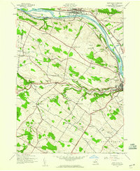 1944 Fort Plain1960 Print · USGSThe Mohawk Valley during the war years shows a landscape defined by the New York State Barge Canal and the New York Central Railroad. Genealogists can locate family landmarks like the Nellis Cem, Klock Sch, and the riverside settlement of Mindenville.2 unique versions available
 - 1945 Map of Lassellsville, 1964 Print
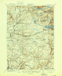 1945 Lassellsville1964 Print · USGSFulton County and the southern Adirondack fringe are captured here just after the turn of the century, showing a landscape of small mill towns and isolated highland settlements. Researchers can trace family-named crossroads like Fical Corners and vanished industrial sites at Glasgow Mills or Newkirk Mills.
 - 1945 Map of Lassellsville, 1964 Print
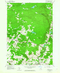 1945 Lassellsville1964 Print · USGSFulton and Montgomery Counties appear at the close of the Second World War as a landscape of rural hamlets and creek-side industry. Genealogists can trace family footprints at Dempster Corners, Miles School, and the Christman Cem.3 unique versions available
 - 1945 Map of Oppenheim, 1966 Print
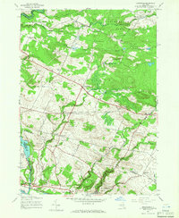 1945 Oppenheim1966 Print · USGSThe Mohawk Valley and the Adirondack foothills meet in this mid-century survey of Fulton and Montgomery Counties. You can trace early schoolhouse locations like School No 9 and explore rural hamlets including Lotville and Kringsbush.2 unique versions available
 - 1946 Map of Canajoharie
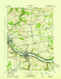 1946 Canajoharie1946 Print · USGSThe Mohawk Valley corridor is captured here just after the war, showing the industrial and transit hubs of Canajoharie and Fort Plain. Genealogists can trace family locations near Dillenback Cem or rural landmarks like Stone Arabia and School No 6.
 - 1946 Map of Fort Plain
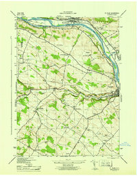 1946 Fort Plain1946 Print · USGSThe Mohawk Valley in the mid-1940s shows a landscape of busy river commerce and quiet upland farming. Researchers can trace family sites at Mount Hope Cem or follow the early 20th-century progress of the Erie Barge Canal and Fort Plain Airport.
 - 1946 Map of Little Falls
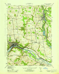 1946 Little Falls1946 Print · USGSHerkimer County at mid-century reveals a landscape defined by the Mohawk River and the busy Barge Canal. Researchers can trace the heritage of local hamlets like Ingham Mills and Dolgeville or locate ancestral sites at Yellow Ch and St Marys Cem.
 - 1946 Map of Lassellsville
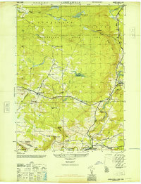 1946 Lassellsville1946 Print · USGSFulton County at the close of the war reveals a landscape of small hamlets and family-named landmarks tied to the Adirondack foothills. Researchers can trace ancestral locations at Fical Cem, the vanished Miles School, or the old industrial site at Glasgow Mills.
 - 1948 Map of Binghamton, 1980 Print
 1948 Binghamton1980 Print · USGSCentral New York and the Southern Tier thrive in the late 1940s as a hub of rail traffic and mountain industry. Researchers can trace historic transit lines like the Erie Railroad through Binghamton or find old valley settlements near Oneonta and Delhi.
 - 1949 Map of Little Falls
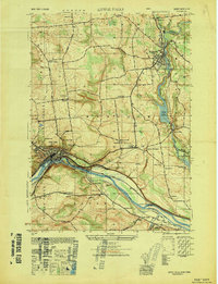 1949 Little Falls1949 Print · USGSThe Mohawk River valley during the late 1940s reveals a bustling landscape of rail and water transport. Trace family roots at St Marys Cem or locate old rural landmarks like Ingham Mills, Indian Castle Ch, and Five Mile Dam.
 - 1949 Map of Little Falls
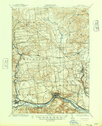 1949 Little Falls1949 Print · USGSHerkimer County's industrial heartland is captured here at mid-century, showcasing the vital Mohawk Valley transit corridor. Researchers can trace the path of the Erie Canal, the Barge Canal, and early rail stops like Ingham Mills Sta. and Dolgeville.
 - 1950 Map of Binghamton
 1950 Binghamton1950 Print · USGSBinghamton and the surrounding Southern Tier are shown in the mid-century era, highlighting the intricate rail and river networks that drove local industry. Researchers can trace the path of the Erie Railroad and locate landmarks from Otsego Lake to Sidney Mountain.2 unique versions available
 - 1950 Map of Utica, 1951 Print
 1950 Utica1951 Print · USGSCentral New York in the post-war era showcases the industrial Mohawk Valley and the pristine Adirondack interior. Researchers can trace transportation networks like the New York Central Railroad and find early Cold War sites such as Griffiss Air Force Base.
 - 1957 Map of Utica
 1957 Utica1957 Print · USGSCentral New York and the Adirondack foothills are captured here in the mid-fifties, showing a landscape defined by the Mohawk River corridor and the growing highway system. Genealogists and researchers can trace the rail lines of the New York Central and locate communities from Lowville to Gloversville.
 - 1958 Map of Binghamton
 1958 Binghamton1958 Print · USGSCentral New York in the late fifties was a network of manufacturing cities and river valleys connected by vital rail lines. Genealogists and historians can trace family roots in Oneonta, Norwich, and Cooperstown or locate long-standing farms along Schoharie Creek.
Showing maps 1-25 of 56
Top cities near Saint Johnsville
- German Flatts historical maps
- Johnstown historical maps
- Little Falls historical maps
- Minden historical maps
- Canajoharie historical maps
- Otsego historical maps
See more
Top neighborhoods of Saint Johnsville
Frequently asked questions
- What are the different types of historical maps available for Saint Johnsville?
- What is the oldest map of Saint Johnsville?
- Where can I purchase historical maps of Saint Johnsville for my home or office?
- Where can I download high-res historical maps of Saint Johnsville?
- Are there historical topographic maps available for Saint Johnsville?
- Is there historical aerial imagery available for Saint Johnsville?
- Where are historical maps of Saint Johnsville sourced from?