2000s (21st Century) Maps of Bethpage, Oyster Bay
Explore 20 historic maps of Bethpage from the 2000s (21st Century). These maps offer a rare glimpse into what life looked like during the 2000s — showing old roads, neighborhoods, homes, and landmarks that have changed or disappeared over time.
Whether you're researching your family's past, planning a metal detecting trip, or studying how Bethpage's landscape evolved across the 2000s, these high-resolution maps are a powerful tool for exploring the history of this region.
- Focus on a specific era: All maps on this page are from the 2000s, giving you a focused view of this time period.
- See what’s changed: Compare century-old streets, trails, and buildings to today's modern landscape using overlays and satellite layers.
- Research with precision: Use these maps for genealogy, historical research, land use analysis, or educational projects.
- View, download, or print: Maps are fully viewable online in high resolution, and can be downloaded or printed for your own records.
Start exploring Bethpage's history through authentic maps from the 2000s. This is your window into the past.
Bethpage, Oyster Bay maps
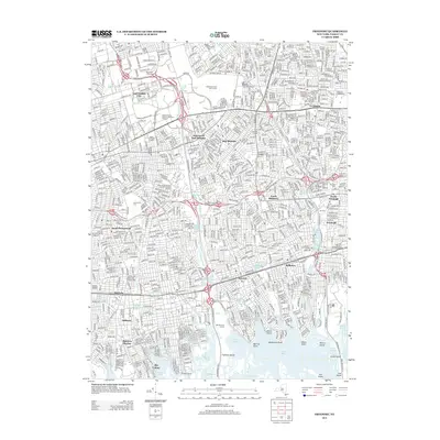
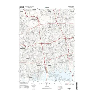
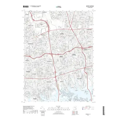
(20)- 2010 Map of Freeport, 2010 Print
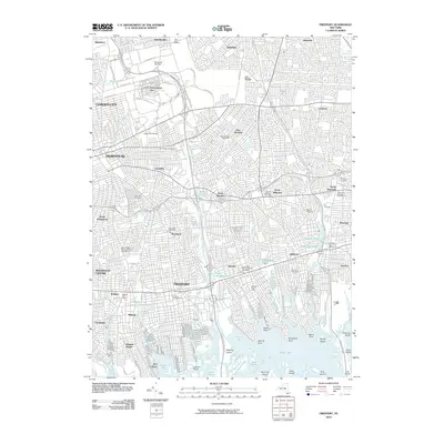 2010 Freeport2010 Print · USGSCovers Bethpage, including Hempstead, Oyster Bay, and other nearby areas
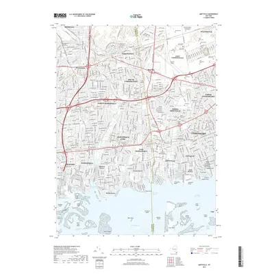
 - 2010 Map of Amityville, 2010 Print
 2010 Amityville2010 Print · USGSCovers Bethpage, including Hempstead, Oyster Bay, and other nearby areas
 - 2010 Map of Huntington, 2010 Print
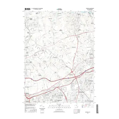
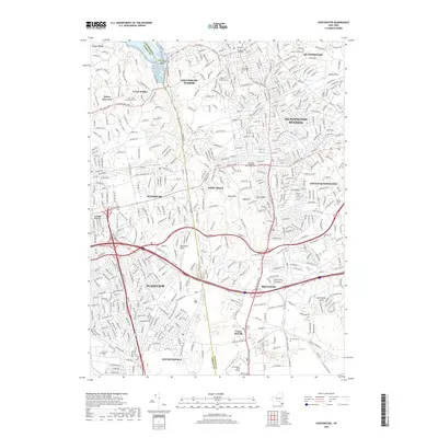
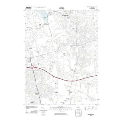 2010 Huntington2010 Print · USGSCovers Bethpage, including Oyster Bay, Babylon, and other nearby areas
 - 2010 Map of Hicksville, 2010 Print
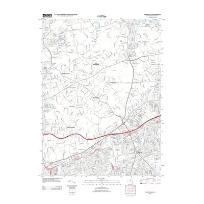
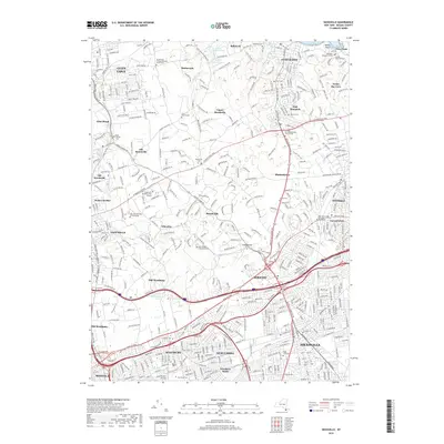
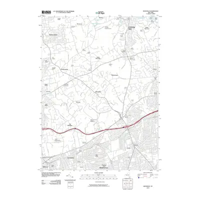 2010 Hicksville2010 Print · USGSCovers Bethpage, including Hempstead, Oyster Bay, and other nearby areas
 - 2013 Map of Hicksville, 2013 Print
 2013 Hicksville2013 Print · USGSCovers Bethpage, including Hempstead, Oyster Bay, and other nearby areas
 - 2013 Map of Freeport, 2013 Print
 2013 Freeport2013 Print · USGSCovers Bethpage, including Hempstead, Oyster Bay, and other nearby areas
 - 2013 Map of Amityville, 2013 Print
 2013 Amityville2013 Print · USGSCovers Bethpage, including Hempstead, Oyster Bay, and other nearby areas
 - 2013 Map of Huntington, 2013 Print
 2013 Huntington2013 Print · USGSCovers Bethpage, including Oyster Bay, Babylon, and other nearby areas
 - 2016 Map of Freeport, 2016 Print
 2016 Freeport2016 Print · USGSCovers Bethpage, including Hempstead, Oyster Bay, and other nearby areas
 - 2016 Map of Hicksville, 2016 Print
 2016 Hicksville2016 Print · USGSCovers Bethpage, including Hempstead, Oyster Bay, and other nearby areas
 - 2016 Map of Huntington, 2016 Print
 2016 Huntington2016 Print · USGSCovers Bethpage, including Oyster Bay, Babylon, and other nearby areas
 - 2016 Map of Amityville, 2016 Print
 2016 Amityville2016 Print · USGSCovers Bethpage, including Hempstead, Oyster Bay, and other nearby areas
 - 2019 Map of Hicksville, 2019 Print
 2019 Hicksville2019 Print · USGSCovers Bethpage, including Hempstead, Oyster Bay, and other nearby areas
 - 2019 Map of Huntington, 2019 Print
 2019 Huntington2019 Print · USGSCovers Bethpage, including Oyster Bay, Babylon, and other nearby areas
 - 2019 Map of Freeport, 2019 Print
 2019 Freeport2019 Print · USGSCovers Bethpage, including Hempstead, Oyster Bay, and other nearby areas
 - 2019 Map of Amityville, 2019 Print
 2019 Amityville2019 Print · USGSCovers Bethpage, including Hempstead, Oyster Bay, and other nearby areas
 - 2023 Map of Huntington, 2023 Print
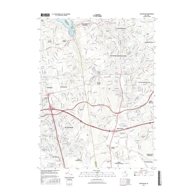
 2023 Huntington2023 Print · USGSThe Nassau and Suffolk border near the north shore is shown here in the 2020s, tracing the area's evolution from maritime villages to major suburban centers. Researchers can locate family sites across several notable grounds including Pinelawn Cem, Mount Golda Cem, and the historic Old Burial Hill Cem.
 - 2023 Map of Freeport, 2023 Print
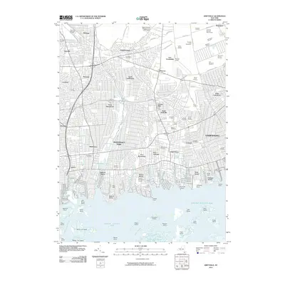
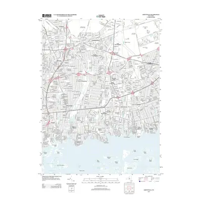
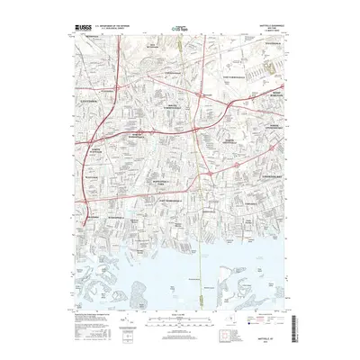
 2023 Freeport2023 Print · USGSNassau County’s densely settled suburban landscape and intricate coastal marshlands are captured in this recent survey. Local researchers can trace the routes of the Long Island RR and locate community landmarks like Greenfield Cem and Saint Georges Church.
 - 2023 Map of Hicksville, 2023 Print
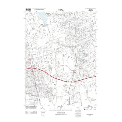
 2023 Hicksville2023 Print · USGSNorth Shore villages and inland estates are captured in this modern survey of central Nassau County. Researchers can locate the Theodore Roosevelt Grave and trace lineage through sites like Brookville Cem and Zion Cem.
 - 2023 Map of Amityville, 2023 Print
 2023 Amityville2023 Print · USGSThe south shore of Long Island is shown here in detail during its modern era of dense suburban development and coastal navigation. Researchers can trace the extensive cemetery districts like Saint Charles Cem or explore the waterfront layouts of Biltmore Shores and Nassau Shores.
End of results
Showing maps 1-20 of 20
Top cities near Bethpage
- New York historical maps
- Hempstead historical maps
- Islip historical maps
- Oyster Bay historical maps
- North Hempstead historical maps
- Babylon historical maps
See more
Top neighborhoods of Bethpage
Frequently asked questions
- What are the different types of historical maps available for Bethpage?
- What is the oldest map of Bethpage?
- Where can I purchase historical maps of Bethpage for my home or office?
- Where can I download high-res historical maps of Bethpage?
- Are there historical topographic maps available for Bethpage?
- Is there historical aerial imagery available for Bethpage?
- Where are historical maps of Bethpage sourced from?