Old Maps of Fresh Pond, New York
Explore 21 old maps of Fresh Pond, spanning from 1889 to today. These high-resolution historic maps reveal how streets, neighborhoods, landmarks, and natural features evolved over time — perfect for genealogy, metal detecting, research, and local history exploration.
What you can do with these maps:
- See how Fresh Pond changed over time: Compare historical maps to modern-day views to trace roads, homesites, rail lines & more.
- View detailed metadata: Each map includes creators, publishers, year, scale, and archive source.
- Overlay maps with satellite & LiDAR: Visualize the past alongside modern tools to explore terrain & human change.
- Trusted historical sources: Maps sourced from the USGS, Library of Congress, and other archives.
- Access maps your way: View online, download high-res files, or order prints for personal or research use.
Start exploring old maps of Fresh Pond to uncover forgotten places, hidden landmarks, and the deep history beneath your feet.
Fresh Pond, New York maps
(21)- 1889 Map of Brooklyn
 1889 Brooklyn1889 Print · USGSBrooklyn and Queens are shown here in the late nineteenth century as urban grids began to overtake the old farm townships. Genealogists and historians can trace defunct rail lines and early settlements like Winfield Junction, Hollis, and Canarsie Landing.
 - 1891 Map of Brooklyn
 1891 Brooklyn1891 Print · USGSThe Brooklyn and Queens landscape of the early 1890s is captured here at a moment of intense rail-driven growth. Researchers can trace the original shoreline of Jamaica Bay and locate family history in the Navy Yard or at Evergreen Cemetery.
 - 1897 Map of Brooklyn, 1959 Print
 1897 Brooklyn1959 Print · USGSBrooklyn and Queens are captured in the late nineteenth century as rural townships began their rapid transformation into a dense urban landscape. Genealogists can locate family plots in Greenwood Cemetery or trace early neighborhood origins in New Utrecht and Flatbush.3 unique versions available
 - 1898 Map of Brooklyn
 1898 Brooklyn1898 Print · USGSBrooklyn and Queens at the close of the nineteenth century reveal a landscape of growing commuter suburbs and vast, untouched tidal marshes. Genealogists and historians can trace old property boundaries near Greenwood Cemetery or follow the early rail lines through Winfield Junction and Jamaica.
 - 1900 Map of Brooklyn
 1900 Brooklyn1900 Print · USGSBrooklyn and Queens are shown here at the turn of the century as the urban grid begins to overtake rural villages and coastal marshes. Genealogists can locate family plots in Greenwood Cemetery or Evergreen Cemetery and trace early transit routes like the Electric R.R. and Kings Highway.11 unique versions available
 - 1947 Map of Brooklyn
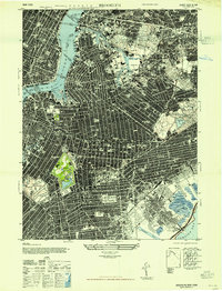 1947 Brooklyn1947 Print · USGSMid-century Brooklyn and Queens are documented here in incredible detail just after the war years. Local historians can locate the iconic Ebbets Field, trace the rail lines through the New Lots Classification Yards, or find ancestral sites at Holy Cross Cemetery.
 - 1949 Map of New York, 1951 Print
 1949 New York1951 Print · USGSLong Island and its surrounding waters are documented here in the late 1940s, just as the postwar suburban boom began to transform the region. Genealogists and historians can trace the early layouts of Idlewild Airport, Mitchell Field, and the established routes of the Long Island RR.
 - 1954 Map of New York
 1954 New York1954 Print · USGSLong Island and the New York metropolitan area are shown during the height of post-war suburbanization. Genealogists and historians can trace the growth of Levittown, the infrastructure of the Long Island Rail Road, and landmarks like Mitchel Afb.2 unique versions available
 - 1956 Map of Brooklyn, 1958 Print
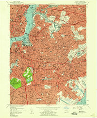 1956 Brooklyn1958 Print · USGSMid-century Brooklyn and Queens are shown at a peak of urban density, before the full impact of modern highway expansion. Genealogists can locate family landmarks among dozens of sites like Erasmus Hall High Sch, Holy Cross Ch, and Greenwood Cemetery.2 unique versions available
 - 1957 Map of New York, 1975 Print
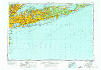 1957 New York1975 Print · USGSLong Island and the New York metropolitan area are shown in this mid-century survey during a period of massive suburban growth and industrial expansion. Researchers can trace the Long Island RR network and locate landmarks like Fort Tilden or the Brookhaven National Laboratory.
 - 1958 Map of New York
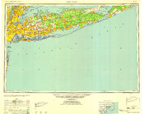 1958 New York1958 Print · USGSLong Island at the height of its postwar expansion reveals a landscape of rapidly growing suburbs and critical military installations. Genealogists and historians can trace the early footprints of Levittown, the terminals of Idlewild Airport, and the grounds of Brookhaven National Laboratory.3 unique versions available
 - 1960 Map of New York, 1979 Print
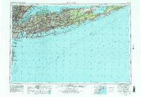 1960 New York1979 Print · USGSLong Island and the five boroughs are shown at a transformative moment mid-century as suburban expansion reshaped the landscape. Researchers can trace family roots through evolving neighborhoods from Rockville Centre to Sayville, or locate historic maritime landmarks like Eatons Neck and Montauk Point.2 unique versions available
 - 1967 Map of Brooklyn
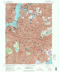 1967 Brooklyn1967 Print · USGSMid-century Brooklyn and western Queens appear in incredible detail just as the post-war urban landscape reached its peak density. Genealogists and historians can locate thousands of individual structures, family-named parishes like Holy Cross Ch, and the vast burial grounds of Calvary Cemetery.4 unique versions available
 - 1969 Map of New York
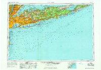 1969 New York1969 Print · USGSLong Island and the New York harbor area are shown here during a peak era of suburban expansion and Cold War defense. Trace the growth of Levittown, the infrastructure of Idlewild NY International Airport, and the reach of the Long Island RR.
 - 1984 Map of Long Island West, 1986 Print
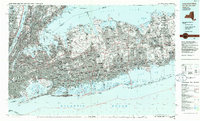 1984 Long Island West1986 Print · USGSWestern Long Island in the mid-eighties shows a mature suburban landscape defined by its famous expressways and historic rail lines. Researchers can trace the development of planned communities like Levittown or locate landmarks such as Fort Totten Mil Res and Stony Brook.2 unique versions available
 - 1995 Map of Brooklyn, 1999 Print
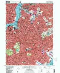 1995 Brooklyn1999 Print · USGSBrooklyn and western Queens are shown in high detail during the mid-nineties, capturing the dense intersection of transit and community. Researchers can trace historic neighborhood boundaries from Bushwick to Canarsie, identifying local landmarks like Pratt Institute and Brooklyn College.
 - 2010 Map of Brooklyn, 2010 Print
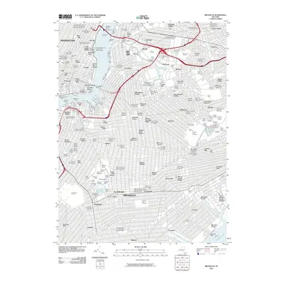 2010 Brooklyn2010 Print · USGSNew York City at the start of the 2010s shows the enduring infrastructure of the boroughs, from industrial Long Island City to Flatbush. Genealogists and historians can trace neighborhood boundaries and burial sites like Green-Wood Cemetery or the Cemetery of the Holy Cross.
 - 2013 Map of Brooklyn, 2013 Print
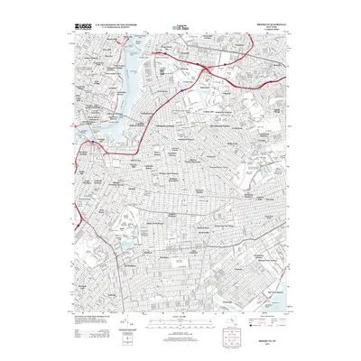 2013 Brooklyn2013 Print · USGSBrooklyn and the Lower East Side appear here in the early twenty-first century, showing the dense intersection of transit, industry, and neighborhood life. Genealogists and historians can locate numerous burial grounds like Cypress Hills National Cem or trace landmarks from Prospect Park to Medgar Evers College.
 - 2016 Map of Brooklyn, 2016 Print
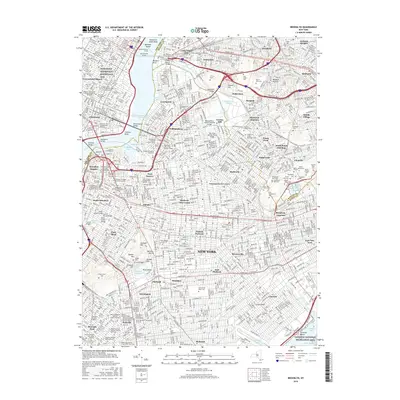 2016 Brooklyn2016 Print · USGSGreater Brooklyn and western Queens appear in high detail during the mid-2010s, showing a densely populated landscape of historic neighborhoods and industrial corridors. Researchers can trace institutional roots at Green-Wood Cem, Bushwick Junction, and the numerous rabbinical colleges of Williamsburg.
 - 2019 Map of Brooklyn, 2019 Print
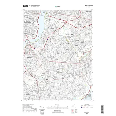 2019 Brooklyn2019 Print · USGSModern Brooklyn and Queens come alive in this recent survey of the New York metropolitan area. Researchers can trace family ties through Cypress Hills National Cemetery or locate historic sites like the Ridgewood Masonic Temple.
 - 2023 Map of Brooklyn, 2023 Print
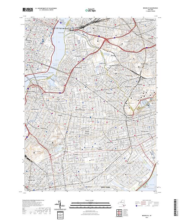 2023 Brooklyn2023 Print · USGSKings and Queens Counties are shown in high detail during the early 2020s, revealing the modern footprint of historic neighborhoods from Greenpoint to Flatbush. Researchers can trace specific sites like the Saint Francis College campus, the Cem of the Holy Cross, and the industrial borders of Newtown Creek.
End of results
Showing maps 1-21 of 21
Frequently asked questions
- What are the different types of historical maps available for Fresh Pond?
- What is the oldest map of Fresh Pond?
- Where can I purchase historical maps of Fresh Pond for my home or office?
- Where can I download high-res historical maps of Fresh Pond?
- Are there historical topographic maps available for Fresh Pond?
- Is there historical aerial imagery available for Fresh Pond?
- Where are historical maps of Fresh Pond sourced from?