1900s (20th Century) Maps of Little Italy, Niagara Falls
Explore 10 historic maps of Little Italy from the 1900s (20th Century). These maps offer a rare glimpse into what life looked like during the 1900s — showing old roads, neighborhoods, homes, and landmarks that have changed or disappeared over time.
Whether you're researching your family's past, planning a metal detecting trip, or studying how Little Italy's landscape evolved across the 1900s, these high-resolution maps are a powerful tool for exploring the history of this region.
- Focus on a specific era: All maps on this page are from the 1900s, giving you a focused view of this time period.
- See what’s changed: Compare century-old streets, trails, and buildings to today's modern landscape using overlays and satellite layers.
- Research with precision: Use these maps for genealogy, historical research, land use analysis, or educational projects.
- View, download, or print: Maps are fully viewable online in high resolution, and can be downloaded or printed for your own records.
Start exploring Little Italy's history through authentic maps from the 1900s. This is your window into the past.
Little Italy, Niagara Falls maps
(10)- 1900 Map of Niagara Falls, 1961 Print
 1900 Niagara Falls1961 Print · USGSThe Niagara frontier at the turn of the century shows an intense convergence of industrial power and military history along the international border. Trace the rail-and-river economy through the Suspension Bridge and Michigan Central R. R. or locate old landmarks like Fort Niagara and the Whirlpool.4 unique versions available
 - 1901 Map of Niagara Falls
 1901 Niagara Falls1901 Print · USGSThe Niagara frontier at the dawn of the twentieth century is captured here in striking detail, from the river's mouth to the falls. Trace the dense rail networks of the Niagara Falls area or locate Fort Niagara and the Brock Monument.11 unique versions available
 - 1949 Map of Niagara Falls
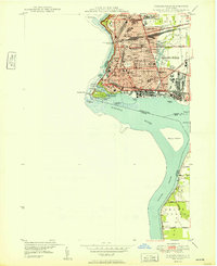 1949 Niagara Falls1949 Print · USGSNiagara Falls at the close of the 1940s showcases a dense urban grid and international border long before modern redevelopment. Genealogists can trace family neighborhoods through sites like Oakwood Cem and Gaskill High Sch.
 - 1952 Map of Toronto, 1954 Print
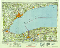 1952 Toronto1954 Print · USGSLake Ontario and the international border define this mid-century landscape of rapid industrial and suburban growth. Researchers can trace the vital shipping and rail corridors of the era, from the Welland Canal to the New York Central Railroad.
 - 1962 Map of Toronto, 1982 Print
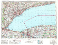 1962 Toronto1982 Print · USGSThe Golden Horseshoe and the Niagara Frontier meet in this early 1960s study of a growing international border region. Trace the path of the Welland Canal and locate land marks like the Scarborough Bluffs and Tuscarora Indian Reservation.
 - 1965 Map of Toronto
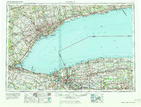 1965 Toronto1965 Print · USGSThe Golden Horseshoe and Niagara Frontier are shown in detail during the early sixties, highlighting the international shipping and transit networks. Trace the path of the Erie Canal, the Welland Canal, and rail lines connecting Toronto and Niagara Falls.2 unique versions available
 - 1965 Map of Niagara Falls, 1968 Print
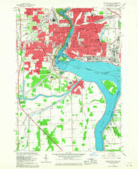 1965 Niagara Falls1968 Print · USGSThe Niagara frontier in the mid-sixties shows a landscape of world-famous cataracts and a thriving urban industrial core. Researchers can trace the neighborhood footprints of Stamford Centre and Chippawa or locate local landmarks like Oakwood Cem and Holy Trinity Sch.
 - 1980 Map of Niagara Falls, 1981 Print
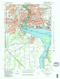 1980 Niagara Falls1981 Print · USGSNiagara Falls and its international surrounds are captured in the early eighties as a hub of hydropower and tourism. Genealogists and historians can trace neighborhood schools like Gaskill High School, resting places like Oakwood Cemetery, and rail junctions at Montrose Junction.
 - 1986 Map of Niagara Falls
 1986 Niagara Falls1986 Print · USGSThe Niagara frontier in the mid-eighties shows a landscape of heavy power generation and riverfront parkland. Trace the residential growth of Lewiston and Youngstown or locate landmarks like Old Fort Niagara and the Niagara Escarpment.2 unique versions available
 - 1995 Map of Niagara Falls, 1999 Print
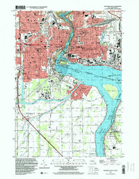 1995 Niagara Falls1999 Print · USGSNiagara Falls and its industrial surroundings are captured here in the mid-nineties, showing the intersection of heavy power generation and historic border communities. Researchers can trace the development of Stamford Centre, locate family plots at Stamford Cem, or study the rail lines through Montrose Junction.
End of results
Showing maps 1-10 of 10
Frequently asked questions
- What are the different types of historical maps available for Little Italy?
- What is the oldest map of Little Italy?
- Where can I purchase historical maps of Little Italy for my home or office?
- Where can I download high-res historical maps of Little Italy?
- Are there historical topographic maps available for Little Italy?
- Is there historical aerial imagery available for Little Italy?
- Where are historical maps of Little Italy sourced from?