Old Maps of Annsville, New York for Hiking & Exploration
Hike through history with 35 historic maps of Annsville. Explore old trails, ghost towns, and forgotten backroads — perfect for outdoor adventurers and local explorers.
- Rediscover forgotten places: Map out old mining camps, roads, and footpaths that no longer exist on modern maps.
- Layer with modern tools: Combine with LiDAR or satellite views to plan hikes through historical terrain.
- Made for exploration: Popular among hikers, overlanders, and local history lovers.
Use these maps to find adventure and explore the hidden past of Annsville.
Annsville, NY maps
(35)- 1905 Map of Taberg
 1905 Taberg1905 Print · USGSOneida and Lewis Counties come alive at the turn of the century as a landscape of timber mills and rail junctions. Genealogists and local historians can trace family locations through named hamlets like Empeyville East Florence PO and Taberg, or follow the industrial paths of the Lehigh Valley RR.6 unique versions available
 - 1943 Map of East Florence
 1943 East Florence1943 Print · USGSThe Tug Hill region at the height of the Second World War shows a landscape of remote settlements and small school districts. Genealogists can trace family footprints across Hanifin Corners, Thomson Corners, and many rural burial grounds like Greely Cem.
 - 1943 Map of Camden East
 1943 Camden East1943 Print · USGSOneida County at the height of the Second World War reveals a landscape of thriving rural hamlets and intricate river systems. Genealogists and historians can trace local families through many rural schoolhouses and cemeteries like St Johns Cem and the Old Protestant Cem.
 - 1943 Map of Lee Center
 1943 Lee Center1943 Print · USGSOneida County in the early 1940s reveals a landscape of small hamlets and rural school districts connected by the winding Fish Creek. Genealogists can trace family homesteads near Lee Center, Taberg, and numerous historic burials like Hall Cem and Link Cem.
 - 1944 Map of Point Rock
 1944 Point Rock1944 Print · USGSIn the mid-1940s, this area on the Lewis and Oneida County line remained a landscape of water-powered mills and rural schoolhouses. Genealogists can trace family footprints near Prussian Settlement, St Ann Ch, or the scattered headstones of Niffin Cem.
 - 1950 Map of Utica, 1951 Print
 1950 Utica1951 Print · USGSCentral New York in the post-war era showcases the industrial Mohawk Valley and the pristine Adirondack interior. Researchers can trace transportation networks like the New York Central Railroad and find early Cold War sites such as Griffiss Air Force Base.
 - 1955 Map of Camden East, 1957 Print
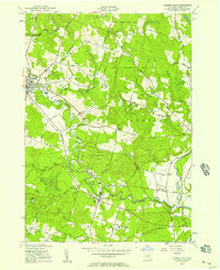 1955 Camden East1957 Print · USGSOneida County in the mid-fifties shows a landscape of growing villages and managed woodlands along the West Branch Fish Cr. Researchers can trace old family roads and schools or locate ancestral sites at Forest Park Cem, Old Protestant Cem, or the rural crossing at Blenness Corner.3 unique versions available
 - 1955 Map of Point Rock, 1957 Print
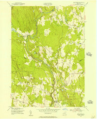 1955 Point Rock1957 Print · USGSThe border of Lewis and Oneida Counties in the 1950s reveals a quiet landscape of rural industry and ethnic settlements. Genealogists can trace family roots through the Prussian Settlement, old mills like Swancott Mill, and local landmarks such as St Anns Ch.4 unique versions available
 - 1955 Map of Lee Center, 1957 Print
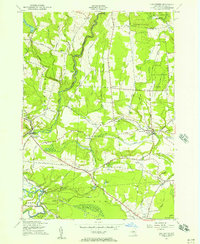 1955 Lee Center1957 Print · USGSMid-century Oneida County comes to life in this mid-fifties survey of the countryside north of Rome. Researchers can trace rural life through numerous numbered schoolhouses, the Griffiss Air Force Base boundary, and old hamlets like Glenmore and Becks Grove.3 unique versions available
 - 1955 Map of Florence, 1957 Print
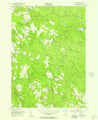 1955 Florence1957 Print · USGSThe Tug Hill region on the Oneida and Lewis county line is shown here in the mid-fifties, dominated by state reforestation tracts and rural hamlets. Researchers can trace family roots at St Marys Ch or locate old school sites and burials like Gregory Cem and School No 1.3 unique versions available
 - 1957 Map of Utica
 1957 Utica1957 Print · USGSCentral New York and the Adirondack foothills are captured here in the mid-fifties, showing a landscape defined by the Mohawk River corridor and the growing highway system. Genealogists and researchers can trace the rail lines of the New York Central and locate communities from Lowville to Gloversville.
 - 1962 Map of Utica
 1962 Utica1962 Print · USGSCentral New York and the Adirondack wilderness are captured here during the mid-century era of highway and industrial expansion. Genealogists and historians can trace the development of the New York State Thruway and local rail lines connecting Utica, Rome, and Gloversville.3 unique versions available
 - 1964 Map of Utica
 1964 Utica1964 Print · USGSCentral New York and the high wilderness of the Adirondacks are captured here during the post-war era of infrastructure expansion. Researchers can trace the development of the New York State Thruway alongside historic corridors like the Oneida Lake (Barge Canal Route) and the N. Y. Central railroad.
 - 1967 Map of Utica
 1967 Utica1967 Print · USGSCentral New York's industrial Mohawk Valley meets the Adirondack wilderness in the 1960s, showing the region's transition from manufacturing hubs to state-managed parklands. Trace historic settlements and sites like Griffiss Air Force Base, Colgate University, and the Lyons Falls Paper Mill.
 - 1985 Map of Utica, 1986 Print
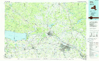 1985 Utica1986 Print · USGSThe Mohawk Valley in the mid-eighties shows a landscape of industrial river cities and high-tech military hubs before the post-Cold War transition. Trace the development of Rome and Utica, the operations at Griffiss Air Force Base, and the lakeside activity at Oneida Lake.2 unique versions available
 - 2010 Map of Lee Center, 2010 Print
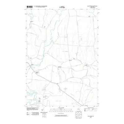 2010 Lee Center2010 Print · USGSOneida County at the start of the 21st century reveals a landscape where historic hamlets like Lee Center and Taberg meet modern landmarks. Genealogists can locate several burial sites including Maple Hill Cemetery and Link Cemetery amidst the waters of Canada Creek.
 - 2010 Map of Camden East, 2010 Print
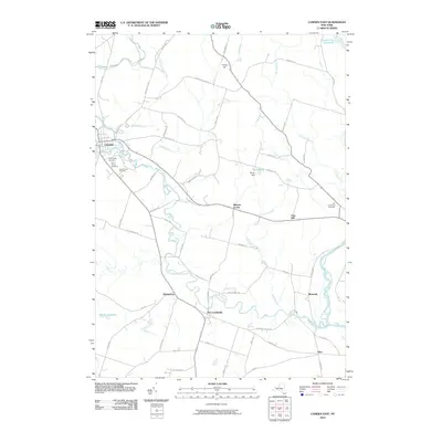 2010 Camden East2010 Print · USGSOneida County's rural hamlets and creek-side settlements are captured here in the early twenty-first century. Genealogists and local researchers can locate family burial plots at Forest Park Cemetery or trace the old routes of Skinner Settlement Rd through Blossvale and McConnellsville.
 - 2010 Map of Florence, 2010 Print
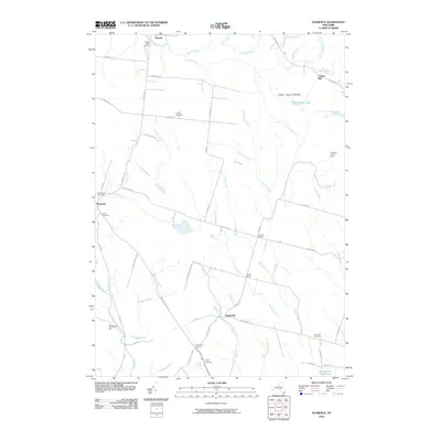 2010 Florence2010 Print · USGSOneida County at the start of the 21st century remains a landscape of quiet rural villages and historic water-driven industry. Trace family roots through Saint Marys Cemetery and Davis Cemetery, or locate old mill sites like Leisher Mill near Osceola.
 - 2010 Map of Point Rock, 2010 Print
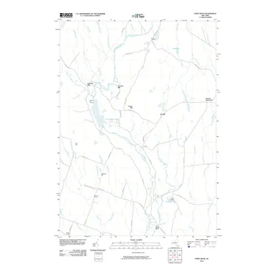 2010 Point Rock2010 Print · USGSOneida County at the start of the twenty-first century reveals a landscape shaped by historical water power and small rural communities. Genealogists and historians can trace the legacy of local industry through Swancott Mill and the nearby Prussian Settlement.
 - 2013 Map of Florence, 2013 Print
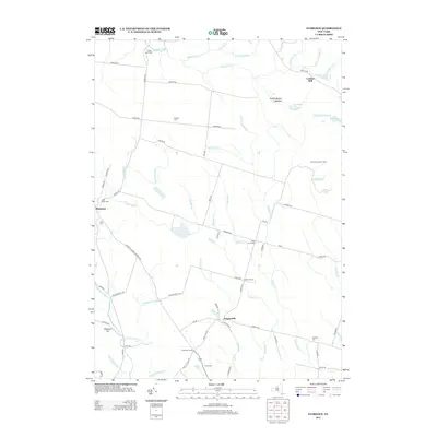 2013 Florence2013 Print · USGSOneida County at the start of the 2010s reveals a quiet landscape of rural crossroads and historic cemeteries. Genealogists can trace family names at Saint Marys Cem and Stanford Cem, while explorers can locate old sites like Leisher Mill and the Swancott Lookout Tower.
 - 2013 Map of Camden East, 2013 Print
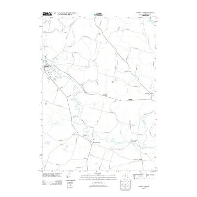 2013 Camden East2013 Print · USGSCamden and the Oneida County countryside are recorded here in the early twenty-first century, showcasing a landscape shaped by the West Branch Fish Creek. Genealogists can locate several historic burial grounds like Forest Park Cem and Saint Patrick Cem, alongside hamlets such as McConnellsville and Blossvale.
 - 2013 Map of Lee Center, 2013 Print
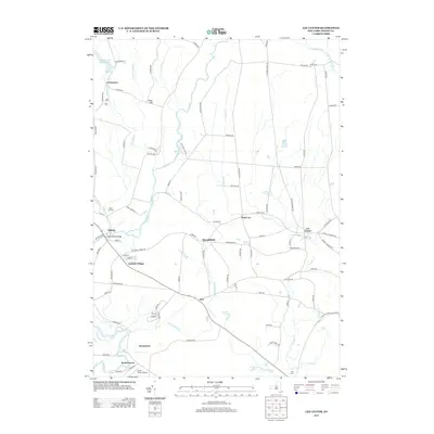 2013 Lee Center2013 Print · USGSOneida County's rural character is preserved in this study of the communities surrounding Lee Center and Taberg in the early twenty-first century. Researchers can trace local history through sites like Maple Hill Cem, the Becks Grove Airport, and the Main Street Bridge.
 - 2013 Map of Point Rock, 2013 Print
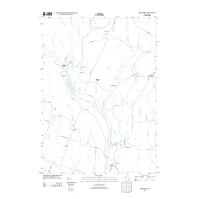 2013 Point Rock2013 Print · USGSOneida County’s rural highlands appear here in the early twenty-first century, preserving the footprints of an earlier milling economy. Genealogists can trace the Prussian Settlement and family-named landmarks like Swancott Mill or the Whiffin Cem.
 - 2016 Map of Lee Center, 2016 Print
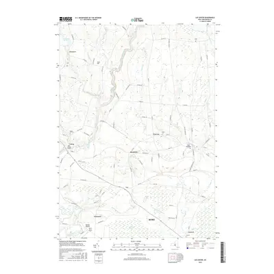 2016 Lee Center2016 Print · USGSThe northern reaches of Rome are documented here in the mid-2010s, showcasing a landscape shaped by glacial hills and historic hamlets. Local historians can trace family roots through Maple Hill Cem and Link Cem, or locate landmarks like the Main Street Bridge in Taberg.
 - 2016 Map of Camden East, 2016 Print
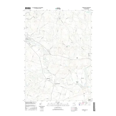 2016 Camden East2016 Print · USGSOneida County at the dawn of the twenty-first century shows a landscape defined by the winding waters of the Mad River and West Branch Fish Creek. Genealogists can trace family connections through the McConnellsville Cem, Forest Lawn Cem, and Dibbletown.
Showing maps 1-25 of 35
Top cities near Annsville
- Rome historical maps
- Whitestown historical maps
- Sullivan historical maps
- Oneida historical maps
- Lenox historical maps
- Lee historical maps
See more
Top neighborhoods of Annsville
- Glenmore historical maps
- Blennes Corner historical maps
- Blossvale historical maps
- Taberg historical maps
- Pine Hill historical maps
Frequently asked questions
- What are the different types of historical maps available for Annsville?
- What is the oldest map of Annsville?
- Where can I purchase historical maps of Annsville for my home or office?
- Where can I download high-res historical maps of Annsville?
- Are there historical topographic maps available for Annsville?
- Is there historical aerial imagery available for Annsville?
- Where are historical maps of Annsville sourced from?