Old Maps of Hawkinsville, Boonville for Genealogy
Trace your family roots with 15 historic maps of Hawkinsville. These high-res maps reveal old neighborhoods, homesites, landmarks, and streets — helping you uncover where your ancestors lived and how the area evolved over time.
- Explore historic neighborhoods: Identify where your relatives may have lived in the 1800s or 1900s.
- Compare maps over time: Trace the changes in streets, buildings, and landmarks for multi-generational research.
- Perfect for genealogy & ancestry research: Used by family historians and researchers to map out lineage and migration.
These maps are an incredible resource for exploring your personal connection to Hawkinsville's past.
Hawkinsville, Boonville maps
(15)- 1904 Map of Boonville
 1904 Boonville1904 Print · USGSOneida County at the start of the twentieth century was defined by its water and rail networks, dominated by the Black River Canal and the N. Y. C. and H. R. R. R. Trace the early layout of Boonville and rural settlements like Westernville or North Western.6 unique versions available
 - 1945 Map of Boonville, 1954 Print
 1945 Boonville1954 Print · USGSOneida County at the close of the Second World War shows a landscape defined by the Black River and the rail lines. Genealogists and local historians can trace rural school districts like School No 5, the Hayes Cem, and the village layout of Boonville.
 - 1947 Map of Boonville
 1947 Boonville1947 Print · USGSOneida County in the mid-1940s shows a landscape defined by the winding Black River and the historic Black River Canal. Genealogists can locate several rural schoolhouses and family landmarks like Hayes Cem, North Steuben Ch, and Pixley Falls.
 - 1950 Map of Utica, 1951 Print
 1950 Utica1951 Print · USGSCentral New York in the post-war era showcases the industrial Mohawk Valley and the pristine Adirondack interior. Researchers can trace transportation networks like the New York Central Railroad and find early Cold War sites such as Griffiss Air Force Base.
 - 1955 Map of Boonville, 1957 Print
 1955 Boonville1957 Print · USGSBoonville and the surrounding Oneida County highlands are captured here in the mid-1950s, showing a landscape of deep river gorges and upland farms. Researchers can locate historic landmarks like North Steuben Ch, Egypt Cem, and the old Fairgrounds.3 unique versions available
 - 1957 Map of Utica
 1957 Utica1957 Print · USGSCentral New York and the Adirondack foothills are captured here in the mid-fifties, showing a landscape defined by the Mohawk River corridor and the growing highway system. Genealogists and researchers can trace the rail lines of the New York Central and locate communities from Lowville to Gloversville.
 - 1962 Map of Utica
 1962 Utica1962 Print · USGSCentral New York and the Adirondack wilderness are captured here during the mid-century era of highway and industrial expansion. Genealogists and historians can trace the development of the New York State Thruway and local rail lines connecting Utica, Rome, and Gloversville.3 unique versions available
 - 1964 Map of Utica
 1964 Utica1964 Print · USGSCentral New York and the high wilderness of the Adirondacks are captured here during the post-war era of infrastructure expansion. Researchers can trace the development of the New York State Thruway alongside historic corridors like the Oneida Lake (Barge Canal Route) and the N. Y. Central railroad.
 - 1967 Map of Utica
 1967 Utica1967 Print · USGSCentral New York's industrial Mohawk Valley meets the Adirondack wilderness in the 1960s, showing the region's transition from manufacturing hubs to state-managed parklands. Trace historic settlements and sites like Griffiss Air Force Base, Colgate University, and the Lyons Falls Paper Mill.
 - 1985 Map of Utica, 1986 Print
 1985 Utica1986 Print · USGSThe Mohawk Valley in the mid-eighties shows a landscape of industrial river cities and high-tech military hubs before the post-Cold War transition. Trace the development of Rome and Utica, the operations at Griffiss Air Force Base, and the lakeside activity at Oneida Lake.2 unique versions available
 - 2010 Map of Boonville, 2010 Print
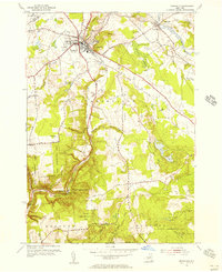
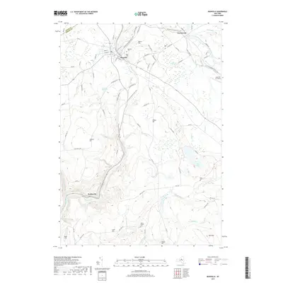
 2010 Boonville2010 Print · USGSCovers Hawkinsville, including Boonville, Boonville, and other nearby areas
 - 2013 Map of Boonville, 2013 Print
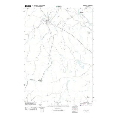
 2013 Boonville2013 Print · USGSCovers Hawkinsville, including Boonville, Boonville, and other nearby areas
 - 2016 Map of Boonville, 2016 Print
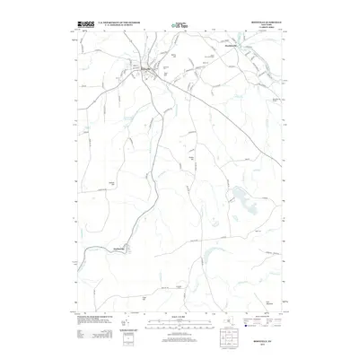
 2016 Boonville2016 Print · USGSCovers Hawkinsville, including Boonville, Boonville, and other nearby areas
 - 2019 Map of Boonville, 2019 Print
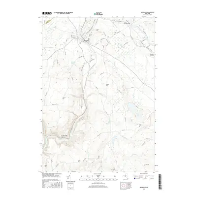
 2019 Boonville2019 Print · USGSCovers Hawkinsville, including Boonville, Boonville, and other nearby areas
 - 2023 Map of Boonville, 2023 Print
 2023 Boonville2023 Print · USGSOneida County at the start of the 2020s shows the enduring footprint of its canal and river history. Genealogists and hikers can trace the North Country National Scenic Trail through Boonville, Hawkinsville, and the outskirts of Hurlbutville.
End of results
Showing maps 1-15 of 15
Top cities near Hawkinsville
- Rome historical maps
- Lee historical maps
- Boonville historical maps
- Trenton historical maps
- Floyd historical maps
- Lake Delta historical maps
See more
Frequently asked questions
- What are the different types of historical maps available for Hawkinsville?
- What is the oldest map of Hawkinsville?
- Where can I purchase historical maps of Hawkinsville for my home or office?
- Where can I download high-res historical maps of Hawkinsville?
- Are there historical topographic maps available for Hawkinsville?
- Is there historical aerial imagery available for Hawkinsville?
- Where are historical maps of Hawkinsville sourced from?