
1945 Map of Boonville
USGS Topo · Published 1954About this map
Boonville serves as the primary hub of this mid-century landscape, where the confluence of the Black River and the New York Central railroad dictated the local economy. The terrain transitions from the developed streets of the village to the dramatic topography of Boonville Gorge State Park, featuring Pixley Falls along the Lansing Kill. The map captures a distributed network of rural education and community life, marked by numerous district schoolhouses such as School No 16 and Bamber Sch, as well as the North Steuben settlement near the southern boundary. To the east, the Boonville Landing Field and Maple Lawn Golf Course indicate early 20th-century recreational and transportation developments, while numerous hills like Jackson Hill and Penn Mtn dominate the surrounding horizon.
Find a feature on this map
43 named features on this map. Tap any name to fly to it.
Don’t see what you’re looking for? This feature index may not catch every label — zoom into the map to look around manually.
Map Details
Editions of this 1945 Boonville Map
This is the sole edition of this map. No revisions or reprints were ever made.
Other maps of this area

1897 · Remsen
USGS Topo · 1:62,500

1900 · Remsen
USGS Topo · 1:62,500

1904 · Boonville
USGS Topo · 1:62,500

1905 · Port Leyden
USGS Topo · 1:62,500

1907 · Port Leyden
USGS Topo · 1:62,500

1912 · Mc Keever
USGS Topo · 1:62,500

1940 · Port Leyden
USGS Topo · 1:62,500

1945 · Forestport
USGS Topo · 1:24,000
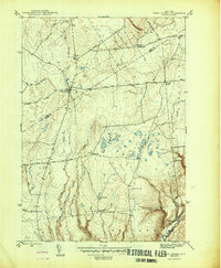
1946 · West Leyden
USGS Topo · 1:31,680
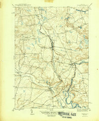
1946 · Remsen
USGS Topo · 1:31,680