
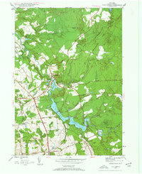
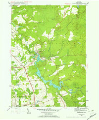
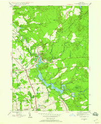
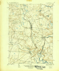
1945 Map of Forestport
USGS Topo · Published 1958About this map
Kayuta Lake and the Black River dominate this Adirondack foothills landscape, where water power and transportation shaped the mid-20th-century economy. The New York Central railroad corridor threads through the region, connecting hubs like Forestport and Alder Creek, which both feature dedicated rail stations. A distinct industrial and agricultural footprint is evident in the presence of Bardwell Mill on Baker Brook and the concentration of rural infrastructure, including School No 18 and Bethel Ch.
Find a feature on this map
40 named features on this map. Tap any name to fly to it.
Don’t see what you’re looking for? This feature index may not catch every label — zoom into the map to look around manually.
Map Details
Editions of this 1945 Forestport Map
4 editions found
Other maps of this area

1897 · Remsen
USGS Topo · 1:62,500

1900 · Remsen
USGS Topo · 1:62,500

1904 · Boonville
USGS Topo · 1:62,500

1905 · Port Leyden
USGS Topo · 1:62,500

1907 · Port Leyden
USGS Topo · 1:62,500

1912 · Mc Keever
USGS Topo · 1:62,500

1940 · Port Leyden
USGS Topo · 1:62,500

1945 · Boonville
USGS Topo · 1:24,000
1946 · Hinckley
USGS Topo · 1:25,000
1946 · Remsen
USGS Topo · 1:31,680