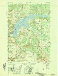
1946 Map of Hinckley
USGS Topo · Published 1946About this map
The Hinckley Reservoir dominates the landscape of this 1946 survey, its intricate shoreline cutting through the hills where the Herkimer and Oneida county lines converge. The area serves as a southern gateway to the Adirondack Park, characterized by a transition from the agricultural lower elevations to the wooded heights of Ninety Five Hill. Small settlements such as Northwood and Grant are connected by a network of rural roads that also link named intersections like Ninety Six Corners and Wooden Corners.
Find a feature on this map
39 named features on this map. Tap any name to fly to it.
Don’t see what you’re looking for? This feature index may not catch every label — zoom into the map to look around manually.
Map Details
Editions of this 1946 Hinckley Map
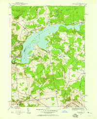
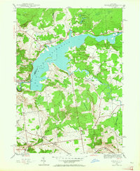
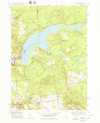
4 editions found
Other maps of this area

1897 · Remsen
USGS Topo · 1:62,500

1898 · Utica
USGS Topo · 1:62,500

1900 · Little Falls
USGS Topo · 1:62,500

1900 · Utica
USGS Topo · 1:62,500

1900 · Remsen
USGS Topo · 1:62,500

1900 · Wilmurt
USGS Topo · 1:62,500

1902 · Wilmurt
USGS Topo · 1:62,500

1903 · Little Falls
USGS Topo · 1:62,500

1939 · Little Falls
USGS Topo · 1:62,500

1943 · Newport
USGS Topo · 1:24,000