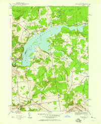
1946 Map of Hinckley
USGS Topo · Published 1958About this map
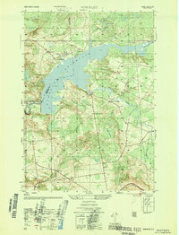
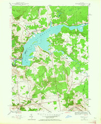
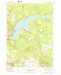
Hinckley Reservoir dominates the landscape of this 1946 survey, straddling the border between Oneida and Herkimer Counties. This mid-century map documents the rural character of the area just outside the Adirondack Park boundary, showing a network of small crossroads communities and family-named corners that served the local timber and farming economy. Settlements like Grant, Northwood, and Ninety Six Corners are clearly defined, alongside infrastructure such as School No 4 and the Century Cem. The topography is shaped by the winding course of Black Creek and West Canada Creek, with the elevation rising toward Ninety Five Hill. Researchers will find significant detail in the smaller water bodies like Lake Margarite and Lake Charlotte, as well as the transition from the Elm Flats plateau to the valley where Gravesville sits along Mill Creek.
Find a feature on this map
47 named features on this map. Tap any name to fly to it.
Don’t see what you’re looking for? This feature index may not catch every label — zoom into the map to look around manually.
Map Details
Editions of this 1946 Hinckley Map
4 editions found
Other maps of this area

1897 · Remsen
USGS Topo · 1:62,500

1898 · Utica
USGS Topo · 1:62,500

1900 · Little Falls
USGS Topo · 1:62,500

1900 · Utica
USGS Topo · 1:62,500

1900 · Remsen
USGS Topo · 1:62,500

1900 · Wilmurt
USGS Topo · 1:62,500

1902 · Wilmurt
USGS Topo · 1:62,500

1903 · Little Falls
USGS Topo · 1:62,500

1939 · Little Falls
USGS Topo · 1:62,500

1943 · Newport
USGS Topo · 1:24,000