Old Maps of Verona, New York for Genealogy
Trace your family roots with 39 historic maps of Verona. These high-res maps reveal old neighborhoods, homesites, landmarks, and streets — helping you uncover where your ancestors lived and how the area evolved over time.
- Explore historic neighborhoods: Identify where your relatives may have lived in the 1800s or 1900s.
- Compare maps over time: Trace the changes in streets, buildings, and landmarks for multi-generational research.
- Perfect for genealogy & ancestry research: Used by family historians and researchers to map out lineage and migration.
These maps are an incredible resource for exploring your personal connection to Verona's past.
Verona, NY maps
(39)- 1895 Map of Oneida
 1895 Oneida1895 Print · USGSIn the 1890s, the landscape around Oneida was a busy hub of canal engineering and railway expansion. Genealogists and historians can trace the evolution of the Erie Canal, find the storied Oneida Community, or locate the historic site of Fort Bull.
 - 1898 Map of Oneida
 1898 Oneida1898 Print · USGSCentral New York at the end of the nineteenth century served as a vital crossroads of early American industry and canal technology. Genealogists and historians can trace the footprint of the Oneida Community, the fortifications of Fort Bull, and the intricate paths of the Erie Canal and Old Oneida Lake Canal.
 - 1902 Map of Oneida
 1902 Oneida1902 Print · USGSMadison and Oneida Counties at the turn of the century show a landscape defined by utopian heritage and a complex network of waterways. Genealogists and historians can trace the foundations of the Oneida Community, the path of the Erie Canal, and landmarks like Fort Bull.6 unique versions available
 - 1939 Map of Oneida
 1939 Oneida1939 Print · USGSMadison and Oneida Counties are shown during a period of transition for New York's vital inland waterways and rail lines. Genealogists and historians can trace the paths of the Erie Canal and Old Oneida Lake Canal through settlements like Oneida Castle, Durhamville, and Verona.
 - 1946 Map of Oneida, 1952 Print
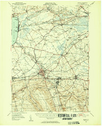 1946 Oneida1952 Print · USGSIn the mid-1940s, the corridor between Oneida Lake and the Erie Canal was a landscape of manufacturing towns and lakeside resorts. Genealogists and historians can trace the foundations of local communities through named landmarks like Oneida Castle, Irish Ridge Ch, and the Indian Sch.3 unique versions available
 - 1947 Map of Oneida
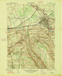 1947 Oneida1947 Print · USGSMadison and Oneida Counties appear here in the mid-1940s, showing a landscape defined by the convergence of major rail lines and the legacy of the Erie Canal (Abandoned). Trace the development of local hamlets and landmarks like Lenox Furnace, Glenwood Cem, and the old Seneca Turnpike.
 - 1947 Map of Sylvan Beach
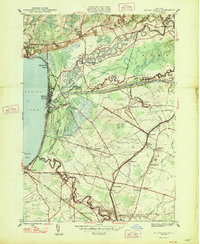 1947 Sylvan Beach1947 Print · USGSThe eastern shores of Oneida Lake in the late 1940s showcase a landscape of canal towns and lakefront resorts. Genealogists can trace family names through landmarks like Irish Ridge Ch, Grove Cem, and numerous schoolhouses including Maple Grove Sch.
 - 1948 Map of Verona
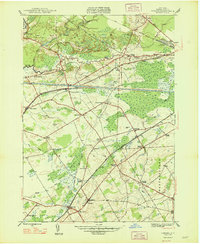 1948 Verona1948 Print · USGSOneida County in the late 1940s reveals a landscape defined by the transition between old and new transit corridors. You can trace family homesteads near Stacy Basin, locate local schools like Sand Hill Sch, and follow the path of the Erie Canal (Abandoned).
 - 1948 Map of Vernon
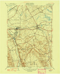 1948 Vernon1948 Print · USGSThe communities of Oneida and Madison counties thrive along the Seneca Turnpike in the late 1940s. Genealogists can trace family lines through Valley View Cem or locate old schoolhouses like the Indian Sch and Willow Valley Sch.2 unique versions available
 - 1950 Map of Utica, 1951 Print
 1950 Utica1951 Print · USGSCentral New York in the post-war era showcases the industrial Mohawk Valley and the pristine Adirondack interior. Researchers can trace transportation networks like the New York Central Railroad and find early Cold War sites such as Griffiss Air Force Base.
 - 1955 Map of Verona, 1957 Print
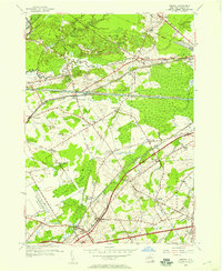 1955 Verona1957 Print · USGSOneida County's mid-century landscape is captured here as the modern thruway era begins to reshape traditional canal and rail corridors. Genealogists and historians can trace family-named crossroads like Cagwin Corners or locate the Sand Plains Chapel and Hazard Cem.3 unique versions available
 - 1955 Map of Oneida, 1957 Print
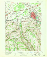 1955 Oneida1957 Print · USGSMadison County at mid-century shows a landscape of evolving transportation, where historic canal routes meet the modern thruway. Genealogists and researchers can locate St Patricks Cem, the Armory in Oneida, and the old schoolhouse at Scribner Corners.4 unique versions available
 - 1955 Map of Vernon, 1957 Print
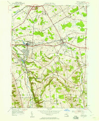 1955 Vernon1957 Print · USGSOneida and Madison Counties meet along Oneida Creek during the mid-1950s, showing a landscape defined by historic hamlets and the expanding New York Thruway. Researchers can trace family roots at Valley View Cemetery or locate the Indian Church and old landmarks like Valley Mills.2 unique versions available
 - 1955 Map of Sylvan Beach, 1958 Print
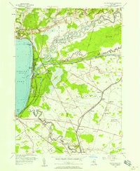 1955 Sylvan Beach1958 Print · USGSOneida Lake’s eastern shore comes to life mid-century, where the Erie Canal and Fish Creek intersect near growing resort communities. Genealogists and researchers can trace family landmarks like Stone Sch, Irish Ridge Ch, and the grounds of Verona Beach State Park.4 unique versions available
 - 1957 Map of Utica
 1957 Utica1957 Print · USGSCentral New York and the Adirondack foothills are captured here in the mid-fifties, showing a landscape defined by the Mohawk River corridor and the growing highway system. Genealogists and researchers can trace the rail lines of the New York Central and locate communities from Lowville to Gloversville.
 - 1962 Map of Utica
 1962 Utica1962 Print · USGSCentral New York and the Adirondack wilderness are captured here during the mid-century era of highway and industrial expansion. Genealogists and historians can trace the development of the New York State Thruway and local rail lines connecting Utica, Rome, and Gloversville.3 unique versions available
 - 1964 Map of Utica
 1964 Utica1964 Print · USGSCentral New York and the high wilderness of the Adirondacks are captured here during the post-war era of infrastructure expansion. Researchers can trace the development of the New York State Thruway alongside historic corridors like the Oneida Lake (Barge Canal Route) and the N. Y. Central railroad.
 - 1967 Map of Utica
 1967 Utica1967 Print · USGSCentral New York's industrial Mohawk Valley meets the Adirondack wilderness in the 1960s, showing the region's transition from manufacturing hubs to state-managed parklands. Trace historic settlements and sites like Griffiss Air Force Base, Colgate University, and the Lyons Falls Paper Mill.
 - 1985 Map of Utica, 1986 Print
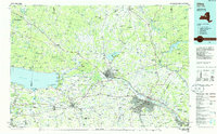 1985 Utica1986 Print · USGSThe Mohawk Valley in the mid-eighties shows a landscape of industrial river cities and high-tech military hubs before the post-Cold War transition. Trace the development of Rome and Utica, the operations at Griffiss Air Force Base, and the lakeside activity at Oneida Lake.2 unique versions available
 - 2010 Map of Oneida, 2010 Print
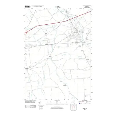 2010 Oneida2010 Print · USGSThe Madison County landscape and its historic canal-era towns are captured here in the early twenty-first century. Genealogists and local historians can trace family plots at Saint Francis Cemetery or locate old crossroads like Five Corners and Alene.
 - 2010 Map of Verona, 2010 Print
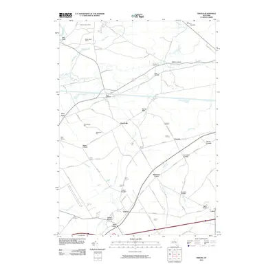 2010 Verona2010 Print · USGSOneida County at the dawn of the new millennium shows a landscape shaped by rural hamlets and old family crossroads. Trace ancestral connections at Link Cemetery or Hazard Cemetery, and explore historic settlements like New London, Churchville, and Verona Mills.
 - 2010 Map of Vernon, 2010 Print
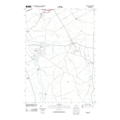 2010 Vernon2010 Print · USGSOneida County at the start of the decade reveals a landscape where historic valley settlements meet modern rural infrastructure. Genealogists and local historians can trace legacy sites like the Oneida Community Cemetery or explore old hamlets such as Valley Mills and Five Chimneys Corner.
 - 2010 Map of Sylvan Beach, 2010 Print
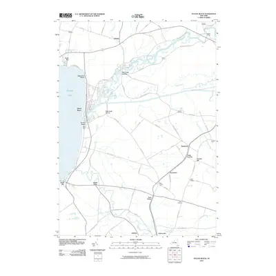 2010 Sylvan Beach2010 Print · USGSThe eastern shores of Oneida Lake come into sharp focus in this modern era, showing the intersection of resort life and historic canal-side settlements. Researchers can locate family burial grounds like Doxtater Cemetery and landmarks such as the Verona Beach Light and Starks Landing.
 - 2013 Map of Vernon, 2013 Print
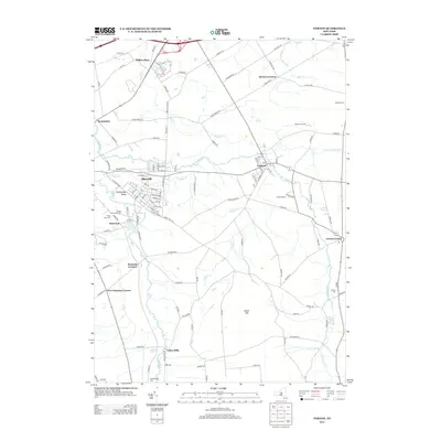 2013 Vernon2013 Print · USGSCentral New York’s agrarian and community roots are preserved here as they appeared in the early 2010s. Researchers can locate family heritage sites like the Oneida Community Cem and Skinner Cem, or trace the roads through Brewers Corner and Sconondoa.
 - 2013 Map of Sylvan Beach, 2013 Print
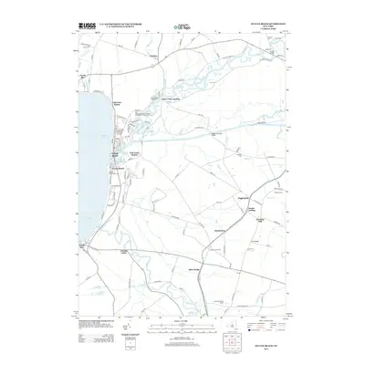 2013 Sylvan Beach2013 Print · USGSThe eastern shores of Oneida Lake come into focus in the early twenty-first century, highlighting a landscape where canal history meets modern recreation. Genealogists and historians can locate family burial grounds like Cook Cem and trace the paths of the Erie Canal through Higginsville and State Bridge.
Showing maps 1-25 of 39
Top cities near Verona
- Rome historical maps
- Whitestown historical maps
- Sullivan historical maps
- Oneida historical maps
- Kirkland historical maps
- Lenox historical maps
See more
Top neighborhoods of Verona
- Blackmans Corners historical maps
- Cagwin Corners historical maps
- Churchville historical maps
- Verona Mills historical maps
- East Verona historical maps
- Goodrich Corners historical maps
See more
Frequently asked questions
- What are the different types of historical maps available for Verona?
- What is the oldest map of Verona?
- Where can I purchase historical maps of Verona for my home or office?
- Where can I download high-res historical maps of Verona?
- Are there historical topographic maps available for Verona?
- Is there historical aerial imagery available for Verona?
- Where are historical maps of Verona sourced from?