Old Maps of LaFayette, New York for Hiking & Exploration
Hike through history with 38 historic maps of LaFayette. Explore old trails, ghost towns, and forgotten backroads — perfect for outdoor adventurers and local explorers.
- Rediscover forgotten places: Map out old mining camps, roads, and footpaths that no longer exist on modern maps.
- Layer with modern tools: Combine with LiDAR or satellite views to plan hikes through historical terrain.
- Made for exploration: Popular among hikers, overlanders, and local history lovers.
Use these maps to find adventure and explore the hidden past of LaFayette.
LaFayette, NY maps
(38)- 1900 Map of Tully
 1900 Tully1900 Print · USGSIn the hills south of Syracuse during the late 1890s, this area supported a network of dairy farms and rail-dependent hamlets. Genealogists can locate long-lost rural communities like Maple Grove (Case P.O.), the Onondaga Indian Reservation, and the resort grounds at Assembly Park.9 unique versions available
 - 1943 Map of South Onondaga
 1943 South Onondaga1943 Print · USGSOnondaga County is captured during the mid-forties as Syracuse expands southward toward the ancestral lands of the Onondaga Indian Reservation. Genealogists and local historians can locate old district schools, numerous family cemeteries like Cedarvale Cem, and rural crossroads such as Lords Corners and Griffins Corners.
 - 1943 Map of Jamesville
 1943 Jamesville1943 Print · USGSOnondaga County is captured during the mid-century as a network of hill-country villages and vital transit corridors. Researchers can trace ancestral locations through numerous family-named landmarks like Spoor Cem, the County Penitentiary, and several school districts including Central Sch.2 unique versions available
 - 1943 Map of Otisco Valley
 1943 Otisco Valley1943 Print · USGSCentral New York's glacial lake country is captured here during the early 1940s, showing the rural communities of the Tully and Otisco valleys. Genealogists can locate family burial grounds like St Patricks Cem and tracing old school districts and Salt Wells.
 - 1943 Map of Tully, 1953 Print
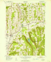 1943 Tully1953 Print · USGSThe Onondaga and Cortland County borderlands are seen here in the early 1940s, showing a landscape of upland ridges and rail-connected valley towns. Trace local ancestry through the STATE COLLEGE EXPERIMENTAL STATION, numerous rural schools, and sites like St Leos Cem and Apulia Station.
 - 1949 Map of Jamesville
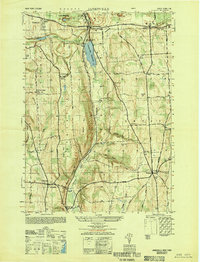 1949 Jamesville1949 Print · USGSCentral New York at the end of the 1940s shows a landscape of steep hills and winding valley roads. Researchers can trace the Delaware Lackawanna and Western line or locate family sites like Pioneer Cem and Onativia.
 - 1950 Map of Elmira
 1950 Elmira1950 Print · USGSThe Finger Lakes region thrived in the late 1940s as a hub of industry and transport. Trace family roots and vanished landmarks near Seneca Lake or explore the rail lines of the Erie RR and the sprawling Seneca Ordnance Depot.2 unique versions available
 - 1955 Map of South Onondaga, 1956 Print
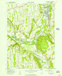 1955 South Onondaga1956 Print · USGSOnondaga County in the mid-fifties is captured here as the Syracuse city line begins to meet the rural highlands and the Onondaga Indian Reservation. Researchers can trace old family locales like Baileys Settlement and Cards Corners or find defunct landmarks like the Nedrow Air Park.3 unique versions available
 - 1955 Map of Jamesville, 1956 Print
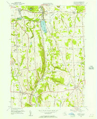 1955 Jamesville1956 Print · USGSOnondaga County in the mid-1950s shows a mix of rural homesteads and industrial growth centered on the village of Jamesville. Genealogists and researchers can trace local landmarks like Pioneer Cem, the County Penitentiary, and the old Onativia settlement.2 unique versions available
 - 1955 Map of Otisco Valley, 1956 Print
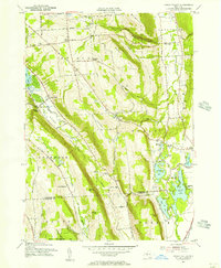 1955 Otisco Valley1956 Print · USGSOnondaga and Cortland Counties appear here in the mid-fifties, showing a landscape of glacial lakes and upland farms. You can trace family roots at The West Cem and Hillsdale Cem, or locate mid-century landmarks like Camp Hoover and Assembly Park.4 unique versions available
 - 1955 Map of Tully, 1956 Print
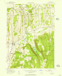 1955 Tully1956 Print · USGSIn the mid-fifties, the Tully Valley was a blend of concentrated village life and sprawling state forestry lands. Genealogists and historians can trace the Delaware Lackawanna and Western tracks through Apulia Station or find local landmarks like St Leo Ch and Meeker Cem.4 unique versions available
 - 1955 Map of Tully, 1961 Print
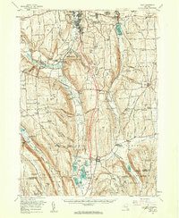 1955 Tully1961 Print · USGSCentral New York at the dawn of the interstate era reveals a landscape of glacial lakes and historic upland hamlets. Genealogists can trace family sites at Pioneer Cem or St Patrick Cem, while identifying rail stops like Apulia Station.2 unique versions available
 - 1958 Map of Elmira
 1958 Elmira1958 Print · USGSThe New York Finger Lakes during the late fifties reveal a complex landscape of glacial geology and industrial growth. Researchers can trace historic transport corridors like the Erie Canal and Erie RR, or locate institutional landmarks like Cornell University.2 unique versions available
 - 1962 Map of Elmira, 1969 Print
 1962 Elmira1969 Print · USGSThe Finger Lakes region and Southern Tier are captured here during a period of industrial maturity and highway expansion. Researchers can trace the path of the Erie Canal, the footprint of the Seneca Army Depot, and legacy rail lines through Elmira and Ithaca.4 unique versions available
 - 1965 Map of Elmira
 1965 Elmira1965 Print · USGSThe Finger Lakes and Southern Tier regions are captured in the mid-sixties, showcasing a landscape of deep glacial valleys and heavy rail infrastructure. Trace old railroad corridors like the Pennsylvania RR or visit landmarks like Letchworth State Park and the Seneca Army Depot.
 - 1973 Map of South Onondaga, 1977 Print
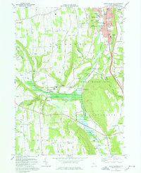 1973 South Onondaga1977 Print · USGSThe southern outskirts of Syracuse meet the rural valleys of Onondaga County during the early 1970s. Researchers can trace family history through several hamlets and landmarks like Baileys Settlement, Onondaga Castle, and Cedarvale Cem.
 - 1973 Map of Jamesville, 1977 Print
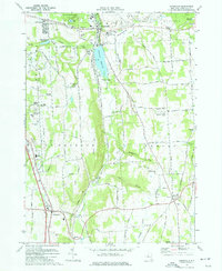 1973 Jamesville1977 Print · USGSCentral New York south of Syracuse in the early seventies shows a landscape of steep ridges and deep glacial valleys. Genealogists and historians can trace family locations through sites like Onativia Church, Pioneer Cemetery, and Fillmore Corner.
 - 1986 Map of Auburn
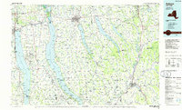 1986 Auburn1986 Print · USGSThe Finger Lakes region in the mid-eighties shows a landscape of deep glacial waters and significant military sites. Trace the layout of the Seneca Army Depot, find the campus of Wells College, and follow the historic Lehigh Valley RR lines.2 unique versions available
 - 2010 Map of Jamesville, 2010 Print
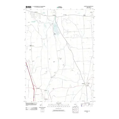 2010 Jamesville2010 Print · USGSSoutheast of Syracuse in the early twenty-first century, this landscape preserves a dense network of early settlement sites and family cemeteries. Genealogists can locate ancestors at the LaFayette Rural Cemetery or Bush Cemetery while tracing the geography of Stebbins Gulf and Onativia.
 - 2010 Map of Tully, 2010 Print
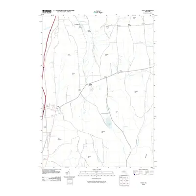 2010 Tully2010 Print · USGSOnondaga County's high ridges and deep hollows are documented here at the turn of the millennium, showing a landscape of small hamlets and family legacies. Genealogists can locate several historic burial sites, including Farr Burying Ground, Miles-Mighells Cemetery, and Sherman Hollow Cemetery.
 - 2010 Map of Otisco Valley, 2010 Print
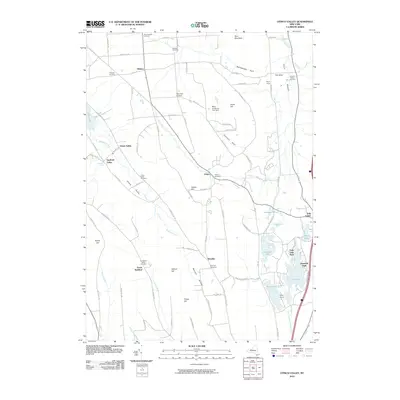 2010 Otisco Valley2010 Print · USGSThe glacier-carved valleys south of Syracuse are shown here in the early twenty-first century, revealing a rural landscape of crossroads hamlets and highland farms. Genealogists can locate several historic burying grounds, including Saint Patricks Cemetery, Bromley Cemetery, and the Christian Hollow Cemetery.
 - 2010 Map of South Onondaga, 2010 Print
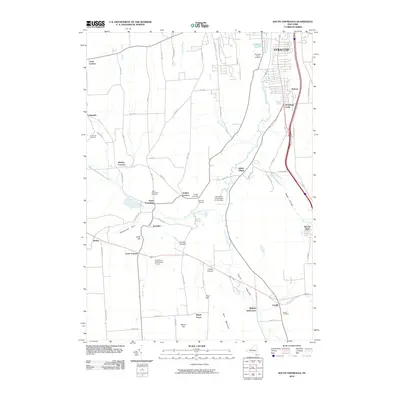 2010 South Onondaga2010 Print · USGSThe rural landscape south of Syracuse is captured here in the early twenty-first century, featuring agricultural lands and longstanding hamlets. Genealogists and local researchers can locate Onondaga Castle, Baileys Settlement, and many local burial sites like Cardiff Cemetery.
 - 2013 Map of Jamesville, 2013 Print
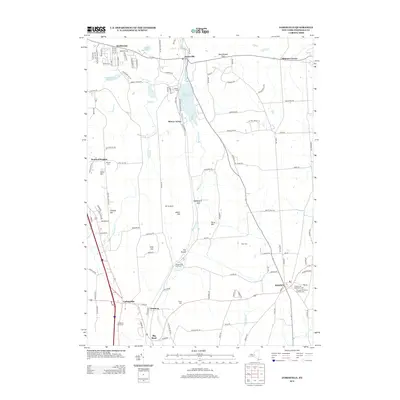 2013 Jamesville2013 Print · USGSThe hills south of Syracuse appear in great detail here, showing the transition from the valley floor to the high ridges of Pompey. Researchers can trace historic burial sites like Houghtaling Bush Cemetery or locate the old NY S & W Railroad line through The Tunnel.
 - 2013 Map of Tully, 2013 Print
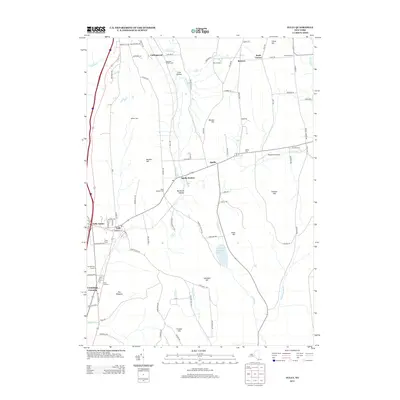 2013 Tully2013 Print · USGSThe Onondaga County highlands appear in high detail during the early twenty-first century, showing the established rural communities and steep ridge terrain. Researchers can trace family history at the Farr Burying Ground or locate the former rail stop at Apulia Station.
 - 2013 Map of South Onondaga, 2013 Print
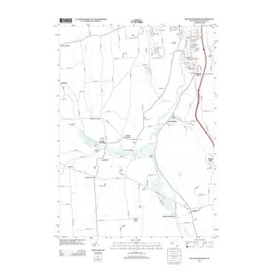 2013 South Onondaga2013 Print · USGSSouth of Syracuse in the early twenty-first century, this area balances suburban growth with deep-rooted agricultural lands. Genealogists and researchers can locate family sites near South Onondaga, Nedrow, and the Beak and Skiff Apple Farms.
Showing maps 1-25 of 38
Top cities near LaFayette
- Syracuse historical maps
- Clay historical maps
- Manlius historical maps
- Salina historical maps
- Cicero historical maps
- DeWitt historical maps
See more
Top neighborhoods of LaFayette
- Big Bend historical maps
- Baileys Settlement historical maps
- Cardiff historical maps
- Collingwood historical maps
- Onativia historical maps
Frequently asked questions
- What are the different types of historical maps available for LaFayette?
- What is the oldest map of LaFayette?
- Where can I purchase historical maps of LaFayette for my home or office?
- Where can I download high-res historical maps of LaFayette?
- Are there historical topographic maps available for LaFayette?
- Is there historical aerial imagery available for LaFayette?
- Where are historical maps of LaFayette sourced from?