Old Maps of Marcellus, New York for Hiking & Exploration
Hike through history with 28 historic maps of Marcellus. Explore old trails, ghost towns, and forgotten backroads — perfect for outdoor adventurers and local explorers.
- Rediscover forgotten places: Map out old mining camps, roads, and footpaths that no longer exist on modern maps.
- Layer with modern tools: Combine with LiDAR or satellite views to plan hikes through historical terrain.
- Made for exploration: Popular among hikers, overlanders, and local history lovers.
Use these maps to find adventure and explore the hidden past of Marcellus.
Marcellus, NY maps
(28)- 1899 Map of Skaneateles
 1899 Skaneateles1899 Print · USGSThe Finger Lakes at the end of the nineteenth century reveal a landscape of lakeside steamboat landings and bustling mill towns. Follow the Steamboat Route from Skaneateles to Glen Haven, or trace the rural roads connecting Marysville, Borodino, and Marcellus.
 - 1900 Map of Baldwinsville
 1900 Baldwinsville1900 Print · USGSOnondaga and Oswego counties are seen here at the close of the nineteenth century, when the Erie Canal still drove local commerce. Genealogists can trace family roots through canal towns like Jordan and river hubs like Baldwinsville and Phoenix.9 unique versions available
 - 1902 Map of Skaneateles
 1902 Skaneateles1902 Print · USGSOnondaga and Cayuga counties come alive in the Victorian era as a network of steamboats and short-line railroads connects lakeside hamlets. Trace ancestral roots and old transport routes through Mottville, the Skaneateles RR, and remote landings like Gregory Ldg.9 unique versions available
 - 1943 Map of Marcellus
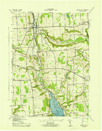 1943 Marcellus1943 Print · USGSOnondaga County's rural landscape is captured during the mid-forties, showing the village of Marcellus and the northern tip of Otisco Lake. Researchers can trace the legacy of local families through scattered schoolhouses like School No 16 and numerous burial grounds including Highland Cem and Fellows Cem.
 - 1943 Map of Camillus, 1951 Print
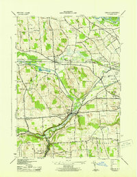 1943 Camillus1951 Print · USGSOnondaga County in the early 1940s served as a bustling crossroads for the railroads and the historic Erie Canal. Genealogists can locate family burial plots at Fairmount Rural Cem and Oswego Bitter Cem or trace vanished rail stops like Amboy Station.3 unique versions available
 - 1950 Map of Elmira
 1950 Elmira1950 Print · USGSThe Finger Lakes region thrived in the late 1940s as a hub of industry and transport. Trace family roots and vanished landmarks near Seneca Lake or explore the rail lines of the Erie RR and the sprawling Seneca Ordnance Depot.2 unique versions available
 - 1955 Map of Marcellus, 1957 Print
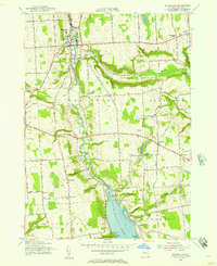 1955 Marcellus1957 Print · USGSOnondaga County in the mid-fifties remains a landscape of historic turnpikes and clustered villages centered around the Marcellus valley. Researchers can trace ancestral roots through numerous rural landmarks like St Francis Cem, Rockwell Springs, and the northern shoreline of Otisco Lake.4 unique versions available
 - 1955 Map of Skaneateles, 1957 Print
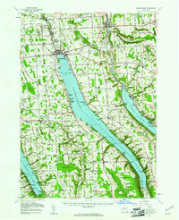 1955 Skaneateles1957 Print · USGSThe Finger Lakes region of Central New York is shown here in the mid-fifties, centered on the deep waters of Skaneateles Lake. Researchers can trace the industrial Skaneateles Short Line Railroad or locate local landmarks like Twelve Corners Sch and St Marys Cem.2 unique versions available
 - 1955 Map of Camillus, 1957 Print
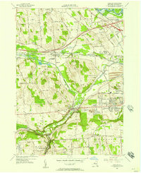 1955 Camillus1957 Print · USGSMid-century Onondaga County is captured here as suburban growth begins to reach outward from the Syracuse area into the hill country. Researchers can trace historic transport routes including the Old Erie Canal and old crossroads at Martisco, Memphis, and Howlett Hill.2 unique versions available
 - 1957 Map of Baldwinsville, 1961 Print
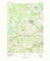 1957 Baldwinsville1961 Print · USGSBaldwinsville and the river-rife lands of Onondaga County are shown here in the late fifties as the New York State Thruway began to reshape travel. Genealogists and local historians can locate many rural burial grounds, including Kingdom Cem and Elbridge Rural Cem, alongside the industrial lines of the Lackawanna Railroad.
 - 1958 Map of Elmira
 1958 Elmira1958 Print · USGSThe New York Finger Lakes during the late fifties reveal a complex landscape of glacial geology and industrial growth. Researchers can trace historic transport corridors like the Erie Canal and Erie RR, or locate institutional landmarks like Cornell University.2 unique versions available
 - 1960 Map of Rochester
 1960 Rochester1960 Print · USGSThe Lake Ontario shoreline in the late fifties was a bustling corridor of rail and water commerce. Genealogists and historians can trace the path of the New York Central through canal towns like Newark or explore the coastal landmarks around Sackets Harbor.2 unique versions available
 - 1961 Map of Rochester, 1973 Print
 1961 Rochester1973 Print · USGSThe Lake Ontario shoreline and Finger Lakes frontier are shown here at the height of the mid-century infrastructure boom. Genealogists and historians can trace the rail-and-road evolution from Sackets Harbor down to the New York State Thruway, passing through centers like Pulaski and Adams Center.3 unique versions available
 - 1962 Map of Elmira, 1969 Print
 1962 Elmira1969 Print · USGSThe Finger Lakes region and Southern Tier are captured here during a period of industrial maturity and highway expansion. Researchers can trace the path of the Erie Canal, the footprint of the Seneca Army Depot, and legacy rail lines through Elmira and Ithaca.4 unique versions available
 - 1965 Map of Rochester
 1965 Rochester1965 Print · USGSUpstate New York's industrial heartland is captured here during a period of significant growth between the Great Lakes and the Finger Lakes. Genealogists and historians can trace the evolution of canal towns and rail hubs from Rochester to Syracuse, noting features like the Erie Canal and the New York State Thruway.
 - 1965 Map of Elmira
 1965 Elmira1965 Print · USGSThe Finger Lakes and Southern Tier regions are captured in the mid-sixties, showcasing a landscape of deep glacial valleys and heavy rail infrastructure. Trace old railroad corridors like the Pennsylvania RR or visit landmarks like Letchworth State Park and the Seneca Army Depot.
 - 1985 Map of Syracuse
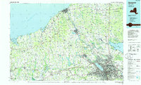 1985 Syracuse1985 Print · USGSCentral New York in the mid-eighties shows a landscape of established canal towns and growing metropolitan suburbs linked by rail and water. Researchers can trace the path of the Erie Canal, find the boundaries of Montezuma Marsh, and locate regional landmarks like Oneida Lake and Chimney Bluffs.3 unique versions available
 - 1986 Map of Auburn
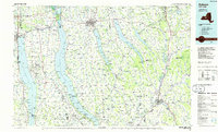 1986 Auburn1986 Print · USGSThe Finger Lakes region in the mid-eighties shows a landscape of deep glacial waters and significant military sites. Trace the layout of the Seneca Army Depot, find the campus of Wells College, and follow the historic Lehigh Valley RR lines.2 unique versions available
 - 2010 Map of Marcellus, 2010 Print
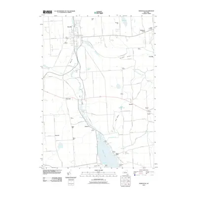 2010 Marcellus2010 Print · USGSOnondaga County in the early twenty-first century maintains its blend of upland farming and lakeside communities. Researchers can trace family history through a dozen burial sites like Highland Cemetery or explore landmarks along Otisco Lake and Ninemile Creek.
 - 2011 Map of Camillus, 2011 Print
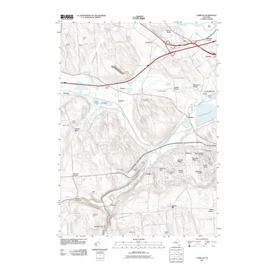 2011 Camillus2011 Print · USGSOnondaga County near the start of the new millennium shows a landscape defined by its waterway history and suburban growth. Researchers can trace ancestral roots through several grounds like Warners Cemetery or locate landmarks like The Alps and the Old Erie Canal.
 - 2013 Map of Marcellus, 2013 Print
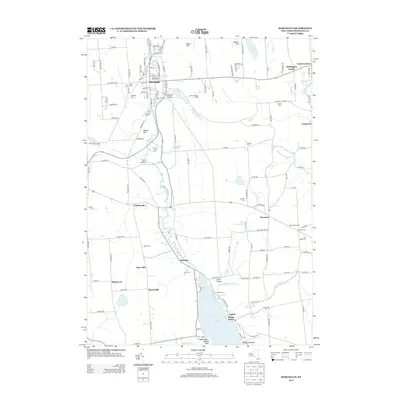 2013 Marcellus2013 Print · USGSOnondaga County's rural landscape is captured here in the early 2010s, centered on the village of Marcellus and the northern reaches of Otisco Lake. Researchers can trace old family names and burial sites at Highland Cem, Burtis Cem, and the historic Navarino Orchard.
 - 2013 Map of Camillus, 2013 Print
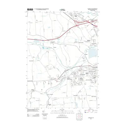 2013 Camillus2013 Print · USGSOnondaga County in the early 2010s shows a complex blend of historic canal-era remnants and modern suburban expansion. Genealogists and historians can trace the heritage of Warners, Amboy, and Stiles while locating burial sites like Sears Cem and Belle Isle Cem.
 - 2016 Map of Camillus, 2016 Print
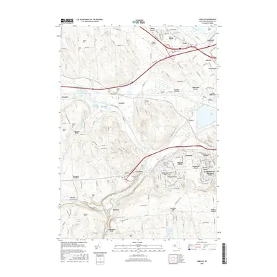 2016 Camillus2016 Print · USGSOnondaga County in the early twenty-first century shows a complex layering of suburban growth over a historic canal and river landscape. Researchers can trace the path of the Old Erie Canal and locate family history at sites like Fairmont Rural Cem and Martisco.
 - 2016 Map of Marcellus, 2016 Print
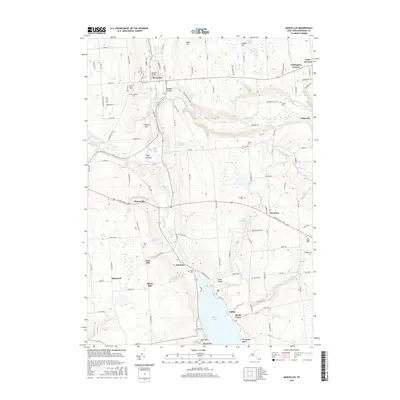 2016 Marcellus2016 Print · USGSMarcellus and the northern shores of Otisco Lake are captured here during the mid-2010s, showcasing a landscape of creek valleys and drumlins. Researchers can trace historic family burial sites at Gilbert Cem and Amber Cem or explore the settlements of Pumpkin Hollow and Marietta.
 - 2019 Map of Camillus, 2019 Print
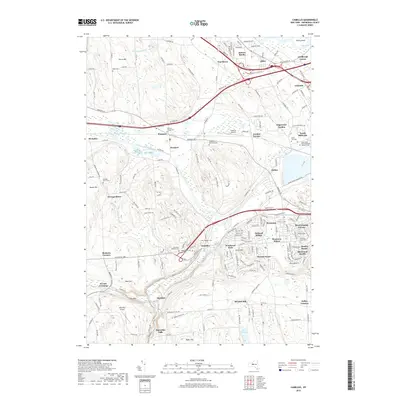 2019 Camillus2019 Print · USGSOnondaga County settlements and transit corridors are shown here as they appeared in the late twenty-teens. Genealogists and historians can trace family plots at Oswego Bitter Cem and Warners Village Cem, or follow the path of the Old Erie Canal.
Showing maps 1-25 of 28
Top cities near Marcellus
- Syracuse historical maps
- Clay historical maps
- Salina historical maps
- Cicero historical maps
- Auburn historical maps
- De Witt historical maps
See more
Top neighborhoods of Marcellus
- Marcellus Falls historical maps
- Clintonville historical maps
- Marietta historical maps
- Thorn Hill historical maps
- Rose Hill historical maps
- Marcellus historical maps
Frequently asked questions
- What are the different types of historical maps available for Marcellus?
- What is the oldest map of Marcellus?
- Where can I purchase historical maps of Marcellus for my home or office?
- Where can I download high-res historical maps of Marcellus?
- Are there historical topographic maps available for Marcellus?
- Is there historical aerial imagery available for Marcellus?
- Where are historical maps of Marcellus sourced from?