2000s (21st Century) Maps of Pompey, New York
Explore 20 historic maps of Pompey from the 2000s (21st Century). These maps offer a rare glimpse into what life looked like during the 2000s — showing old roads, neighborhoods, homes, and landmarks that have changed or disappeared over time.
Whether you're researching your family's past, planning a metal detecting trip, or studying how Pompey's landscape evolved across the 2000s, these high-resolution maps are a powerful tool for exploring the history of this region.
- Focus on a specific era: All maps on this page are from the 2000s, giving you a focused view of this time period.
- See what’s changed: Compare century-old streets, trails, and buildings to today's modern landscape using overlays and satellite layers.
- Research with precision: Use these maps for genealogy, historical research, land use analysis, or educational projects.
- View, download, or print: Maps are fully viewable online in high resolution, and can be downloaded or printed for your own records.
Start exploring Pompey's history through authentic maps from the 2000s. This is your window into the past.
Pompey, NY maps
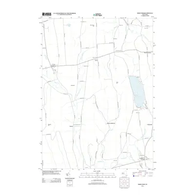
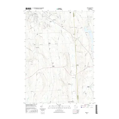
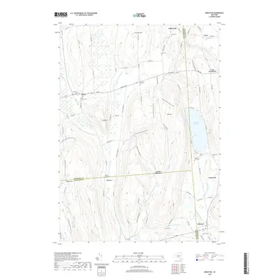
(20)- 2010 Map of Oran, 2010 Print
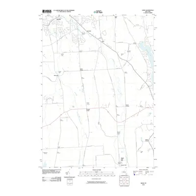 2010 Oran2010 Print · USGSCovers Pompey, including Manlius, Cazenovia, and other nearby areas
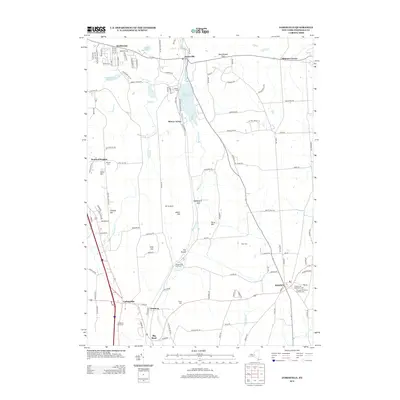
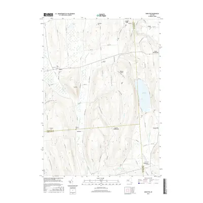
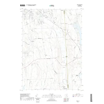
 - 2010 Map of Jamesville, 2010 Print
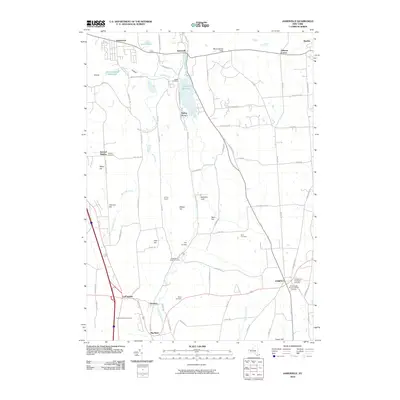 2010 Jamesville2010 Print · USGSCovers Pompey, including Syracuse, Manlius, and other nearby areas
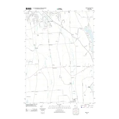
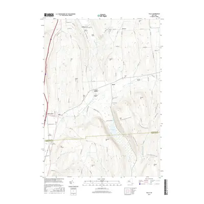
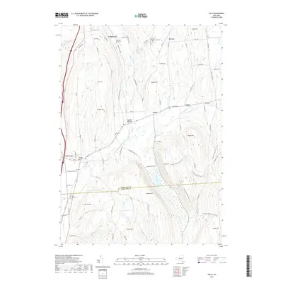
 - 2010 Map of Tully, 2010 Print
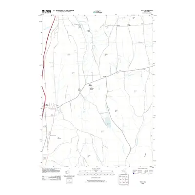 2010 Tully2010 Print · USGSCovers Pompey, including LaFayette, Tully, and other nearby areas
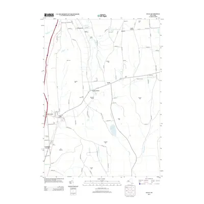
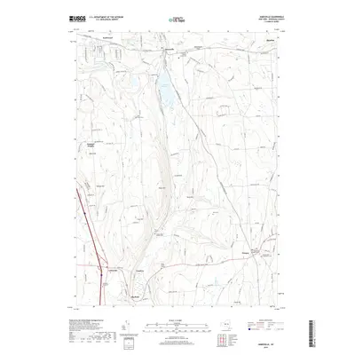
 - 2010 Map of DeRuyter, 2010 Print
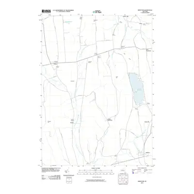 2010 DeRuyter2010 Print · USGSCovers Pompey, including Cazenovia, Fabius, and other nearby areas
 - 2013 Map of DeRuyter, 2013 Print
 2013 DeRuyter2013 Print · USGSCovers Pompey, including Cazenovia, Fabius, and other nearby areas
 - 2013 Map of Oran, 2013 Print
 2013 Oran2013 Print · USGSCovers Pompey, including Manlius, Cazenovia, and other nearby areas
 - 2013 Map of Jamesville, 2013 Print
 2013 Jamesville2013 Print · USGSCovers Pompey, including Syracuse, Manlius, and other nearby areas
 - 2013 Map of Tully, 2013 Print
 2013 Tully2013 Print · USGSCovers Pompey, including LaFayette, Tully, and other nearby areas
 - 2016 Map of Oran, 2016 Print
 2016 Oran2016 Print · USGSCovers Pompey, including Manlius, Cazenovia, and other nearby areas
 - 2016 Map of DeRuyter, 2016 Print
 2016 DeRuyter2016 Print · USGSCovers Pompey, including Cazenovia, Fabius, and other nearby areas
 - 2016 Map of Jamesville, 2016 Print
 2016 Jamesville2016 Print · USGSCovers Pompey, including Syracuse, Manlius, and other nearby areas
 - 2016 Map of Tully, 2016 Print
 2016 Tully2016 Print · USGSCovers Pompey, including LaFayette, Tully, and other nearby areas
 - 2019 Map of DeRuyter, 2019 Print
 2019 DeRuyter2019 Print · USGSCovers Pompey, including Cazenovia, Fabius, and other nearby areas
 - 2019 Map of Oran, 2019 Print
 2019 Oran2019 Print · USGSCovers Pompey, including Manlius, Cazenovia, and other nearby areas
 - 2019 Map of Tully, 2019 Print
 2019 Tully2019 Print · USGSCovers Pompey, including LaFayette, Tully, and other nearby areas
 - 2019 Map of Jamesville, 2019 Print
 2019 Jamesville2019 Print · USGSCovers Pompey, including Syracuse, Manlius, and other nearby areas
 - 2023 Map of Oran, 2023 Print
 2023 Oran2023 Print · USGSThe rolling uplands of Onondaga County are revealed in this modern survey of the limestone-cut valleys and upland hamlets. Genealogists can trace family burial sites at Pompey Center Cem or Southwell Cem and explore the rural character of Watervale and Oran.
 - 2023 Map of Tully, 2023 Print
 2023 Tully2023 Print · USGSThe Tully and Apulia valley region is captured here in the early twenty-first century, showing the enduring rural character of southern Onondaga County. Researchers can trace historic burial sites like Saint Leo's Cem and Miles Cem or explore the drainage of Labrador Creek and Fabius Brook.
 - 2023 Map of DeRuyter, 2023 Print
 2023 DeRuyter2023 Print · USGSThe borderlands of Onondaga, Madison, and Cortland counties are shown here as they appear in the early 2020s. Genealogists can locate numerous local burial sites like Beach Cem and Burdick Cem near the waters of DeRuyter Reservoir.
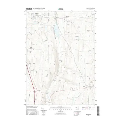
 - 2023 Map of Jamesville, 2023 Print
 2023 Jamesville2023 Print · USGSThe Onondaga County highlands south of Syracuse appear here in recent detail, showing the rural landscapes around Jamesville and Pompey. Family historians can trace numerous burial sites like Spoor Burial Ground and LaFayette Rural Cem.
End of results
Showing maps 1-20 of 20
Top cities near Pompey
- Syracuse historical maps
- Clay historical maps
- Manlius historical maps
- Salina historical maps
- Cicero historical maps
- DeWitt historical maps
See more
Top neighborhoods of Pompey
- Atwell Corners historical maps
- Buellville historical maps
- Clough Corners historical maps
- Delphi Falls historical maps
- Hills Corners historical maps
- Oran historical maps
See more
Frequently asked questions
- What are the different types of historical maps available for Pompey?
- What is the oldest map of Pompey?
- Where can I purchase historical maps of Pompey for my home or office?
- Where can I download high-res historical maps of Pompey?
- Are there historical topographic maps available for Pompey?
- Is there historical aerial imagery available for Pompey?
- Where are historical maps of Pompey sourced from?