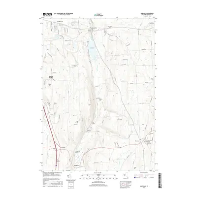
2016 Map of Jamesville
USGS Topo · Published 2016About this map
Butternut Creek carves a deep valley through the Onondaga County highlands, anchoring a landscape defined by significant topographic relief and historic hamlets. In the north, the settlement of Jamesville sits near the Jamesville Reservoir, a prominent water body flanked by the heights of Smoky Hollow and Moorehouse Flats. The terrain is punctuated by numerous named summits including Irish Hill, Thomas Hill, and Mason Hill, illustrating the glacial geomorphology of the region.
Find a feature on this map
122 named features on this map. Tap any name to fly to it.
Don’t see what you’re looking for? This feature index may not catch every label — zoom into the map to look around manually.
Map Details
Editions of this 2016 Jamesville Map
This is the sole edition of this map. No revisions or reprints were ever made.
Other maps of this area

1895 · Chittenango
USGS Topo · 1:62,500

1895 · Syracuse
USGS Topo · 1:62,500

1897 · Cazenovia
USGS Topo · 1:62,500

1898 · Syracuse
USGS Topo · 1:62,500

1898 · Chittenango
USGS Topo · 1:62,500

1899 · Cazenovia
USGS Topo · 1:62,500

1900 · Tully
USGS Topo · 1:62,500

1902 · Chittenango
USGS Topo · 1:62,500

1938 · Syracuse East
USGS Topo · 1:24,000

1939 · Syracuse West
USGS Topo · 1:24,000