2000s (21st Century) Maps of Mattydale, Salina
Explore 10 historic maps of Mattydale from the 2000s (21st Century). These maps offer a rare glimpse into what life looked like during the 2000s — showing old roads, neighborhoods, homes, and landmarks that have changed or disappeared over time.
Whether you're researching your family's past, planning a metal detecting trip, or studying how Mattydale's landscape evolved across the 2000s, these high-resolution maps are a powerful tool for exploring the history of this region.
- Focus on a specific era: All maps on this page are from the 2000s, giving you a focused view of this time period.
- See what’s changed: Compare century-old streets, trails, and buildings to today's modern landscape using overlays and satellite layers.
- Research with precision: Use these maps for genealogy, historical research, land use analysis, or educational projects.
- View, download, or print: Maps are fully viewable online in high resolution, and can be downloaded or printed for your own records.
Start exploring Mattydale's history through authentic maps from the 2000s. This is your window into the past.
Mattydale, Salina maps
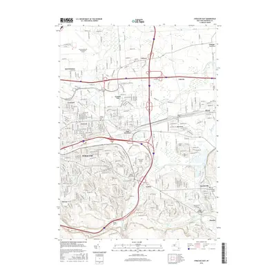
(10)- 2010 Map of Syracuse East, 2010 Print
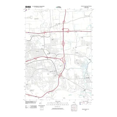 2010 Syracuse East2010 Print · USGSCovers Mattydale, including Syracuse, Manlius, and other nearby areas
 - 2010 Map of Syracuse West, 2010 Print
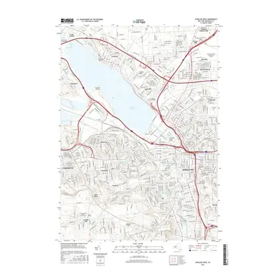
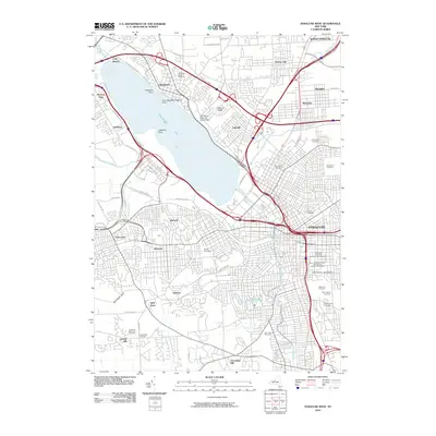 2010 Syracuse West2010 Print · USGSCovers Mattydale, including Syracuse, Clay, and other nearby areas
 - 2013 Map of Syracuse West, 2013 Print
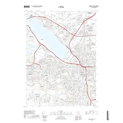
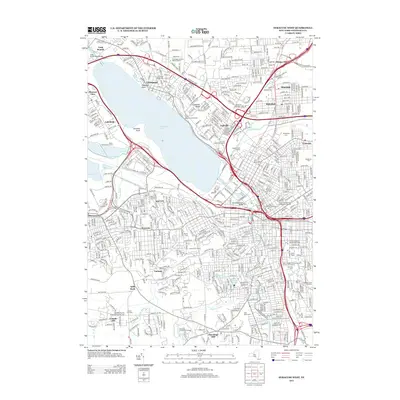 2013 Syracuse West2013 Print · USGSCovers Mattydale, including Syracuse, Clay, and other nearby areas
 - 2013 Map of Syracuse East, 2013 Print
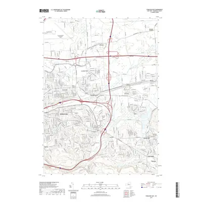
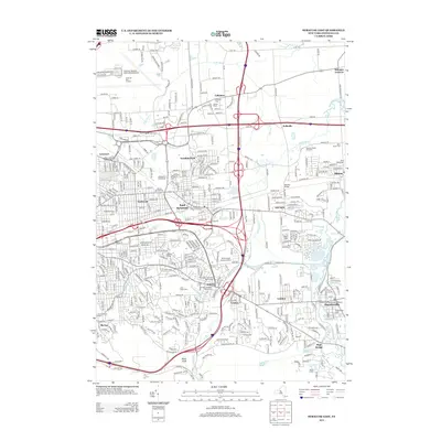 2013 Syracuse East2013 Print · USGSCovers Mattydale, including Syracuse, Manlius, and other nearby areas
 - 2016 Map of Syracuse East, 2016 Print
 2016 Syracuse East2016 Print · USGSCovers Mattydale, including Syracuse, Manlius, and other nearby areas
 - 2016 Map of Syracuse West, 2016 Print
 2016 Syracuse West2016 Print · USGSCovers Mattydale, including Syracuse, Clay, and other nearby areas
 - 2019 Map of Syracuse West, 2019 Print
 2019 Syracuse West2019 Print · USGSCovers Mattydale, including Syracuse, Clay, and other nearby areas
 - 2019 Map of Syracuse East, 2019 Print
 2019 Syracuse East2019 Print · USGSCovers Mattydale, including Syracuse, Manlius, and other nearby areas
 - 2023 Map of Syracuse West, 2023 Print
 2023 Syracuse West2023 Print · USGSSyracuse and its western suburbs appear in modern detail in this 2023 survey of the Salt City's urban and institutional landscape. Researchers can trace the grounds of Syracuse University, locate family plots in Oakwood Cem, and explore the shoreline of Onondaga Lake.
 - 2023 Map of Syracuse East, 2023 Print
 2023 Syracuse East2023 Print · USGSEastern Onondaga County is shown here as a thriving suburban and industrial corridor in the early twenty-first century. Researchers can trace the development of older settlements and burial sites like Collamer, Franklin Park, and the Fayetteville Pioneer Burial Ground.
End of results
Showing maps 1-10 of 10
Top cities near Mattydale
- Syracuse historical maps
- Clay historical maps
- Manlius historical maps
- Salina historical maps
- Cicero historical maps
- DeWitt historical maps
See more
Top neighborhoods of Mattydale
Frequently asked questions
- What are the different types of historical maps available for Mattydale?
- What is the oldest map of Mattydale?
- Where can I purchase historical maps of Mattydale for my home or office?
- Where can I download high-res historical maps of Mattydale?
- Are there historical topographic maps available for Mattydale?
- Is there historical aerial imagery available for Mattydale?
- Where are historical maps of Mattydale sourced from?