Old Maps of Edgewater Park, Spafford for Academic Research
Study the evolution of Edgewater Park with 16 high-resolution historic maps. Whether you're teaching, researching, or modeling changes in land use, these maps provide essential visual documentation of urban, environmental, and geographic change.
- Analyze long-term change: Track patterns in development, transportation, and natural features.
- Ideal for environmental or urban studies: Support academic projects with primary historical map data.
- Use in the classroom or lab: Educators and researchers rely on these maps to bring historical context to life.
These maps are a powerful tool for teaching, research, and visualizing how Edgewater Park has changed over the decades.
Edgewater Park, Spafford maps
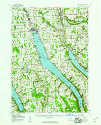
(16)- 1899 Map of Skaneateles
 1899 Skaneateles1899 Print · USGSThe Finger Lakes at the end of the nineteenth century reveal a landscape of lakeside steamboat landings and bustling mill towns. Follow the Steamboat Route from Skaneateles to Glen Haven, or trace the rural roads connecting Marysville, Borodino, and Marcellus.
 - 1902 Map of Skaneateles
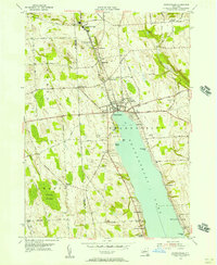
 1902 Skaneateles1902 Print · USGSOnondaga and Cayuga counties come alive in the Victorian era as a network of steamboats and short-line railroads connects lakeside hamlets. Trace ancestral roots and old transport routes through Mottville, the Skaneateles RR, and remote landings like Gregory Ldg.9 unique versions available
 - 1943 Map of Skaneateles
 1943 Skaneateles1943 Print · USGSThe northern tip of Skaneateles Lake and its industrial outlet are captured here in the early 1940s during a period of steady lakeside growth. Genealogists and local historians can trace family locations through numerous rural landmarks like Lakeview Cem, School No 17, and the mills of Mottville.
 - 1949 Map of Skaneateles
 1949 Skaneateles1949 Print · USGSThe eastern shores of Skaneateles Lake appear in the late 1940s as a mix of summer colonies and thriving milling hamlets. Family historians can locate dozens of specific sites including St Marys Cem, Wicks Corners, and School No 5.
 - 1950 Map of Elmira
 1950 Elmira1950 Print · USGSThe Finger Lakes region thrived in the late 1940s as a hub of industry and transport. Trace family roots and vanished landmarks near Seneca Lake or explore the rail lines of the Erie RR and the sprawling Seneca Ordnance Depot.2 unique versions available
 - 1955 Map of Skaneateles, 1957 Print
 1955 Skaneateles1957 Print · USGSThe Finger Lakes region of Central New York is shown here in the mid-fifties, centered on the deep waters of Skaneateles Lake. Researchers can trace the industrial Skaneateles Short Line Railroad or locate local landmarks like Twelve Corners Sch and St Marys Cem.2 unique versions available
 - 1955 Map of Skaneateles, 1957 Print
 1955 Skaneateles1957 Print · USGSSkaneateles and its northern industrial corridor are shown in detail during the mid-fifties. You can trace the path of the Skaneateles Short Line RR and locate local landmarks like Baptist Corners, Shepard Settlement, and Lakeview Cem.3 unique versions available
 - 1958 Map of Elmira
 1958 Elmira1958 Print · USGSThe New York Finger Lakes during the late fifties reveal a complex landscape of glacial geology and industrial growth. Researchers can trace historic transport corridors like the Erie Canal and Erie RR, or locate institutional landmarks like Cornell University.2 unique versions available
 - 1962 Map of Elmira, 1969 Print
 1962 Elmira1969 Print · USGSThe Finger Lakes region and Southern Tier are captured here during a period of industrial maturity and highway expansion. Researchers can trace the path of the Erie Canal, the footprint of the Seneca Army Depot, and legacy rail lines through Elmira and Ithaca.4 unique versions available
 - 1965 Map of Elmira
 1965 Elmira1965 Print · USGSThe Finger Lakes and Southern Tier regions are captured in the mid-sixties, showcasing a landscape of deep glacial valleys and heavy rail infrastructure. Trace old railroad corridors like the Pennsylvania RR or visit landmarks like Letchworth State Park and the Seneca Army Depot.
 - 1986 Map of Auburn
 1986 Auburn1986 Print · USGSThe Finger Lakes region in the mid-eighties shows a landscape of deep glacial waters and significant military sites. Trace the layout of the Seneca Army Depot, find the campus of Wells College, and follow the historic Lehigh Valley RR lines.2 unique versions available
 - 2010 Map of Skaneateles, 2010 Print
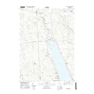
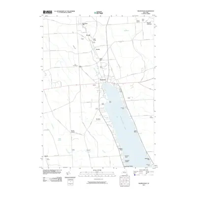 2010 Skaneateles2010 Print · USGSCovers Edgewater Park, including Skaneateles, Owasco, and other nearby areas
 - 2013 Map of Skaneateles, 2013 Print
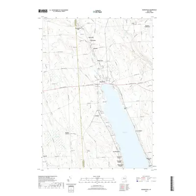
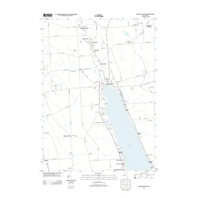 2013 Skaneateles2013 Print · USGSCovers Edgewater Park, including Skaneateles, Owasco, and other nearby areas
 - 2016 Map of Skaneateles, 2016 Print
 2016 Skaneateles2016 Print · USGSCovers Edgewater Park, including Skaneateles, Owasco, and other nearby areas
 - 2019 Map of Skaneateles, 2019 Print
 2019 Skaneateles2019 Print · USGSCovers Edgewater Park, including Skaneateles, Owasco, and other nearby areas
 - 2023 Map of Skaneateles, 2023 Print
 2023 Skaneateles2023 Print · USGSSkaneateles Lake and the northern hamlets of Onondaga County are captured here in the early twenty-first century. Genealogists and local historians can trace small family burial grounds like Peck Family Cem and old crossroads like Baptist Corners.
End of results
Showing maps 1-16 of 16
Top cities near Edgewater Park
- Syracuse historical maps
- Salina historical maps
- Auburn historical maps
- Camillus historical maps
- Lysander historical maps
- Onondaga historical maps
See more
Frequently asked questions
- What are the different types of historical maps available for Edgewater Park?
- What is the oldest map of Edgewater Park?
- Where can I purchase historical maps of Edgewater Park for my home or office?
- Where can I download high-res historical maps of Edgewater Park?
- Are there historical topographic maps available for Edgewater Park?
- Is there historical aerial imagery available for Edgewater Park?
- Where are historical maps of Edgewater Park sourced from?