2000s (21st Century) Maps of Warwick, New York
Explore 35 historic maps of Warwick from the 2000s (21st Century). These maps offer a rare glimpse into what life looked like during the 2000s — showing old roads, neighborhoods, homes, and landmarks that have changed or disappeared over time.
Whether you're researching your family's past, planning a metal detecting trip, or studying how Warwick's landscape evolved across the 2000s, these high-resolution maps are a powerful tool for exploring the history of this region.
- Focus on a specific era: All maps on this page are from the 2000s, giving you a focused view of this time period.
- See what’s changed: Compare century-old streets, trails, and buildings to today's modern landscape using overlays and satellite layers.
- Research with precision: Use these maps for genealogy, historical research, land use analysis, or educational projects.
- View, download, or print: Maps are fully viewable online in high resolution, and can be downloaded or printed for your own records.
Start exploring Warwick's history through authentic maps from the 2000s. This is your window into the past.
Warwick, NY maps
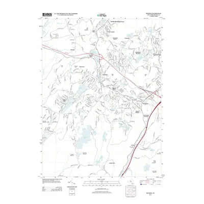
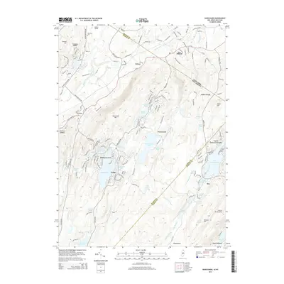
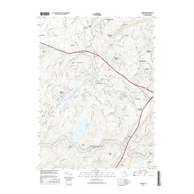
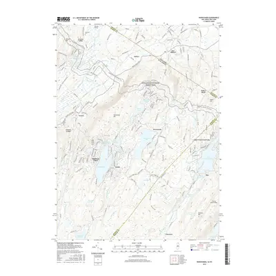
(35)- 2010 Map of Monroe, 2010 Print
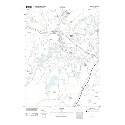 2010 Monroe2010 Print · USGSCovers Warwick, including Palm Tree, Kiryas Joel, and other nearby areas
 - 2010 Map of Warwick, 2010 Print
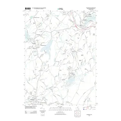
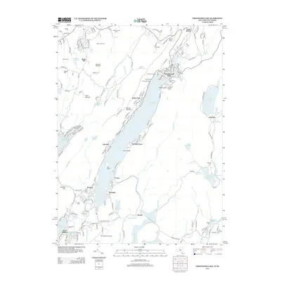
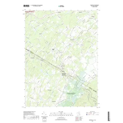
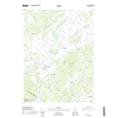
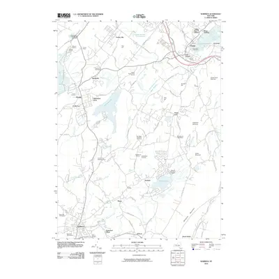 2010 Warwick2010 Print · USGSCovers Warwick, including Goshen, Chester, and other nearby areas
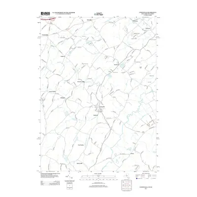
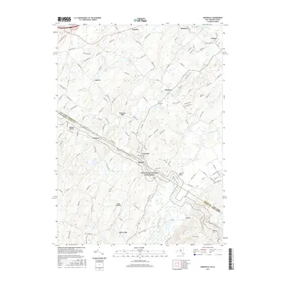
 - 2011 Map of Unionville, 2011 Print
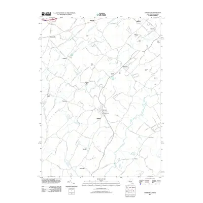 2011 Unionville2011 Print · USGSCovers Warwick, including Vernon Township, Wantage, and other nearby areas
 - 2011 Map of Wawayanda, 2011 Print
 2011 Wawayanda2011 Print · USGSCovers Warwick, including West Milford, Vernon Township, and other nearby areas
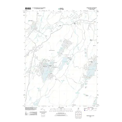
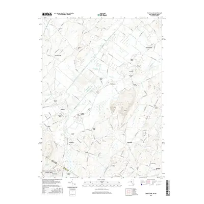
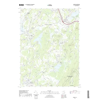
 - 2011 Map of Pine Island, 2011 Print
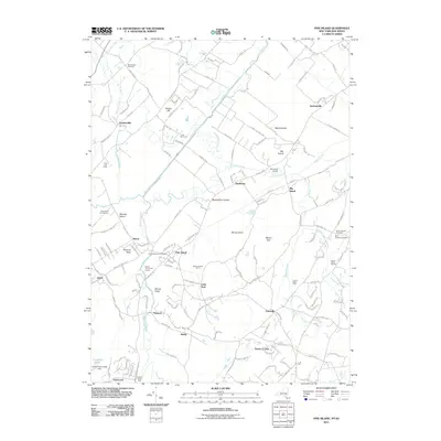 2011 Pine Island2011 Print · USGSCovers Warwick, including Vernon Township, Goshen, and other nearby areas
 - 2011 Map of Greenwood Lake, 2011 Print
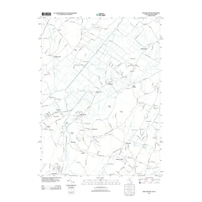
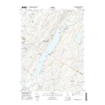
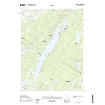
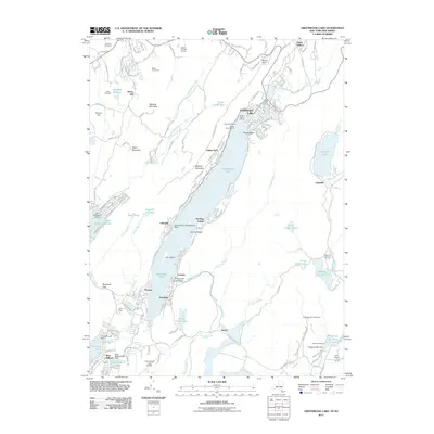 2011 Greenwood Lake2011 Print · USGSCovers Warwick, including West Milford, Vernon Township, and other nearby areas
 - 2011 Map of Sloatsburg, 2011 Print
 2011 Sloatsburg2011 Print · USGSCovers Warwick, including Ramapo, Haverstraw, and other nearby areas
 - 2013 Map of Sloatsburg, 2013 Print
 2013 Sloatsburg2013 Print · USGSCovers Warwick, including Ramapo, Haverstraw, and other nearby areas
 - 2013 Map of Warwick, 2013 Print
 2013 Warwick2013 Print · USGSCovers Warwick, including Goshen, Chester, and other nearby areas
 - 2013 Map of Unionville, 2013 Print
 2013 Unionville2013 Print · USGSCovers Warwick, including Vernon Township, Wantage, and other nearby areas
 - 2013 Map of Pine Island, 2013 Print
 2013 Pine Island2013 Print · USGSCovers Warwick, including Vernon Township, Goshen, and other nearby areas
 - 2013 Map of Monroe, 2013 Print
 2013 Monroe2013 Print · USGSCovers Warwick, including Palm Tree, Kiryas Joel, and other nearby areas
 - 2013 Map of Greenwood Lake, 2013 Print
 2013 Greenwood Lake2013 Print · USGSCovers Warwick, including West Milford, Vernon Township, and other nearby areas
 - 2014 Map of Wawayanda, 2014 Print
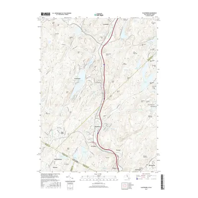
 2014 Wawayanda2014 Print · USGSCovers Warwick, including West Milford, Vernon Township, and other nearby areas
 - 2016 Map of Pine Island, 2016 Print
 2016 Pine Island2016 Print · USGSCovers Warwick, including Vernon Township, Goshen, and other nearby areas
 - 2016 Map of Unionville, 2016 Print
 2016 Unionville2016 Print · USGSCovers Warwick, including Vernon Township, Wantage, and other nearby areas
 - 2016 Map of Greenwood Lake, 2016 Print
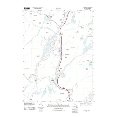
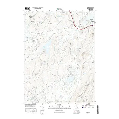
 2016 Greenwood Lake2016 Print · USGSCovers Warwick, including West Milford, Vernon Township, and other nearby areas
 - 2016 Map of Monroe, 2016 Print
 2016 Monroe2016 Print · USGSCovers Warwick, including Palm Tree, Kiryas Joel, and other nearby areas
 - 2016 Map of Sloatsburg, 2016 Print
 2016 Sloatsburg2016 Print · USGSCovers Warwick, including Ramapo, Haverstraw, and other nearby areas
 - 2016 Map of Warwick, 2016 Print
 2016 Warwick2016 Print · USGSCovers Warwick, including Goshen, Chester, and other nearby areas
 - 2016 Map of Wawayanda, 2016 Print
 2016 Wawayanda2016 Print · USGSCovers Warwick, including West Milford, Vernon Township, and other nearby areas
 - 2019 Map of Unionville, 2019 Print
 2019 Unionville2019 Print · USGSCovers Warwick, including Vernon Township, Wantage, and other nearby areas
 - 2019 Map of Greenwood Lake, 2019 Print
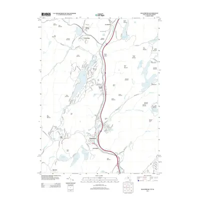
 2019 Greenwood Lake2019 Print · USGSCovers Warwick, including West Milford, Vernon Township, and other nearby areas
 - 2019 Map of Warwick, 2019 Print
 2019 Warwick2019 Print · USGSCovers Warwick, including Goshen, Chester, and other nearby areas
 - 2019 Map of Pine Island, 2019 Print
 2019 Pine Island2019 Print · USGSCovers Warwick, including Vernon Township, Goshen, and other nearby areas
Showing maps 1-25 of 35
Top cities near Warwick
- Ramapo historical maps
- Kiryas Joel historical maps
- Palm Tree historical maps
- Wallkill historical maps
- Middletown historical maps
- West Milford historical maps
See more
Top neighborhoods of Warwick
- New Milford historical maps
- Dutch Hollow historical maps
- Lakeville historical maps
- Pine Island historical maps
- Edenville historical maps
- Little York historical maps
See more
Frequently asked questions
- What are the different types of historical maps available for Warwick?
- What is the oldest map of Warwick?
- Where can I purchase historical maps of Warwick for my home or office?
- Where can I download high-res historical maps of Warwick?
- Are there historical topographic maps available for Warwick?
- Is there historical aerial imagery available for Warwick?
- Where are historical maps of Warwick sourced from?