2000s (21st Century) Maps of Albion, New York
Explore 20 historic maps of Albion from the 2000s (21st Century). These maps offer a rare glimpse into what life looked like during the 2000s — showing old roads, neighborhoods, homes, and landmarks that have changed or disappeared over time.
Whether you're researching your family's past, planning a metal detecting trip, or studying how Albion's landscape evolved across the 2000s, these high-resolution maps are a powerful tool for exploring the history of this region.
- Focus on a specific era: All maps on this page are from the 2000s, giving you a focused view of this time period.
- See what’s changed: Compare century-old streets, trails, and buildings to today's modern landscape using overlays and satellite layers.
- Research with precision: Use these maps for genealogy, historical research, land use analysis, or educational projects.
- View, download, or print: Maps are fully viewable online in high resolution, and can be downloaded or printed for your own records.
Start exploring Albion's history through authentic maps from the 2000s. This is your window into the past.
Albion, NY maps
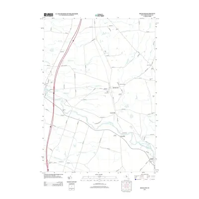
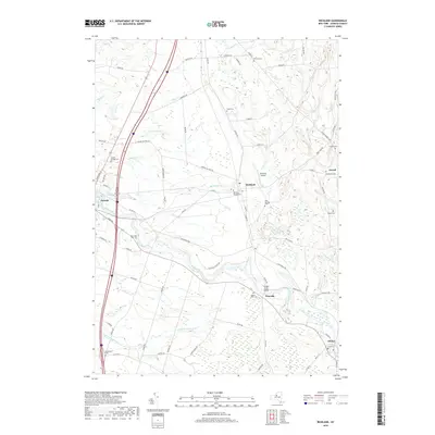
(20)- 2010 Map of Richland, 2010 Print
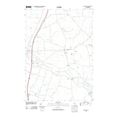 2010 Richland2010 Print · USGSCovers Albion, including Richland, Sandy Creek, and other nearby areas
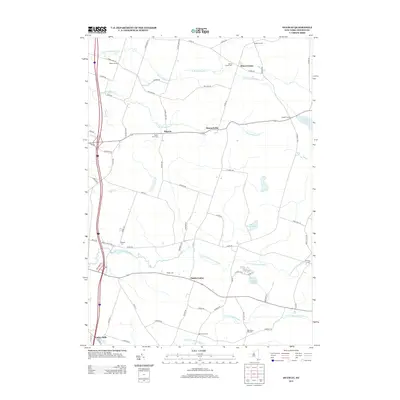
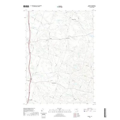
 - 2010 Map of Dugway, 2010 Print
 2010 Dugway2010 Print · USGSCovers Albion, including Hastings, Richland, and other nearby areas
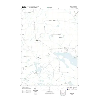
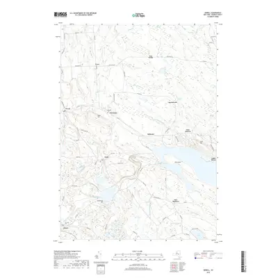
 - 2010 Map of Orwell, 2010 Print
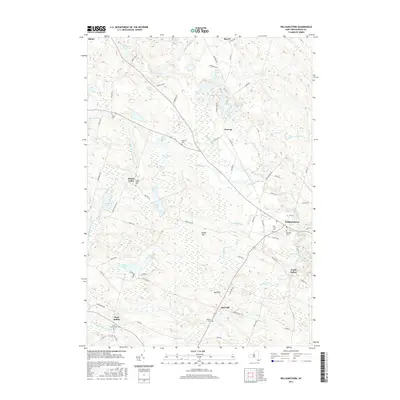
 2010 Orwell2010 Print · USGSCovers Albion, including Williamstown, Orwell, and other nearby areas
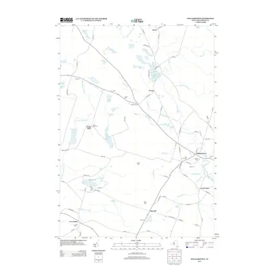
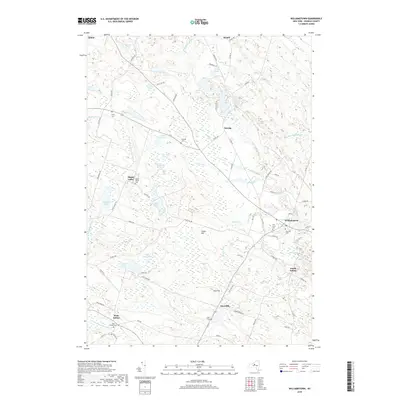
 - 2010 Map of Williamstown, 2010 Print
 2010 Williamstown2010 Print · USGSCovers Albion, including Parish, Williamstown, and other nearby areas
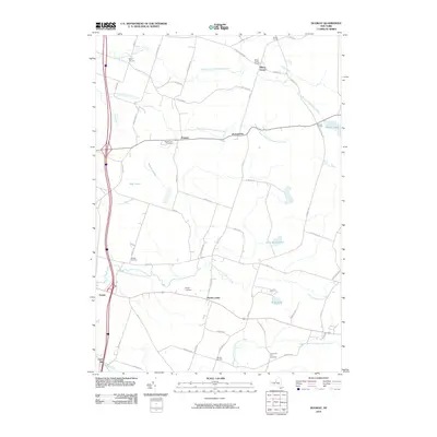
 - 2013 Map of Richland, 2013 Print
 2013 Richland2013 Print · USGSCovers Albion, including Richland, Sandy Creek, and other nearby areas
 - 2013 Map of Dugway, 2013 Print
 2013 Dugway2013 Print · USGSCovers Albion, including Hastings, Richland, and other nearby areas
 - 2013 Map of Orwell, 2013 Print
 2013 Orwell2013 Print · USGSCovers Albion, including Williamstown, Orwell, and other nearby areas
 - 2013 Map of Williamstown, 2013 Print
 2013 Williamstown2013 Print · USGSCovers Albion, including Parish, Williamstown, and other nearby areas
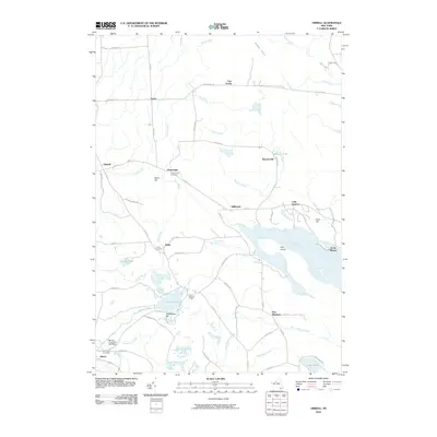
 - 2016 Map of Williamstown, 2016 Print
 2016 Williamstown2016 Print · USGSCovers Albion, including Parish, Williamstown, and other nearby areas
 - 2016 Map of Dugway, 2016 Print
 2016 Dugway2016 Print · USGSCovers Albion, including Hastings, Richland, and other nearby areas
 - 2016 Map of Richland, 2016 Print
 2016 Richland2016 Print · USGSCovers Albion, including Richland, Sandy Creek, and other nearby areas
 - 2016 Map of Orwell, 2016 Print
 2016 Orwell2016 Print · USGSCovers Albion, including Williamstown, Orwell, and other nearby areas
 - 2019 Map of Richland, 2019 Print
 2019 Richland2019 Print · USGSCovers Albion, including Richland, Sandy Creek, and other nearby areas
 - 2019 Map of Dugway, 2019 Print
 2019 Dugway2019 Print · USGSCovers Albion, including Hastings, Richland, and other nearby areas
 - 2019 Map of Williamstown, 2019 Print
 2019 Williamstown2019 Print · USGSCovers Albion, including Parish, Williamstown, and other nearby areas
 - 2019 Map of Orwell, 2019 Print
 2019 Orwell2019 Print · USGSCovers Albion, including Williamstown, Orwell, and other nearby areas
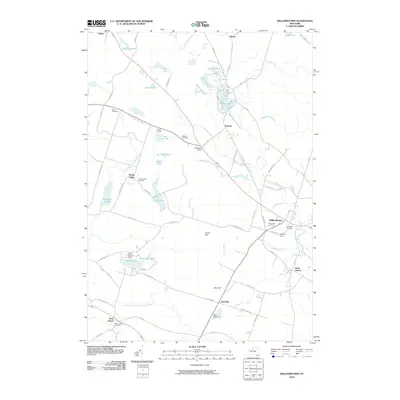
 - 2023 Map of Williamstown, 2023 Print
 2023 Williamstown2023 Print · USGSOswego County's upland forests and numerous glacial ponds are captured here in a contemporary look at these rural New York hamlets. Genealogists and researchers can locate several family burial sites, including Madison Cem, White Cem, and Fairview Cem.
 - 2023 Map of Orwell, 2023 Print
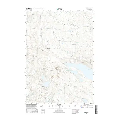
 2023 Orwell2023 Print · USGSOswego County's upland terrain and river valleys are captured here in the early twenty-first century, showing a landscape defined by water and woods. Researchers can trace family sites at Pekin and Chateaugay or locate the historic Riverside Cem near Altmar.
 - 2023 Map of Dugway, 2023 Print
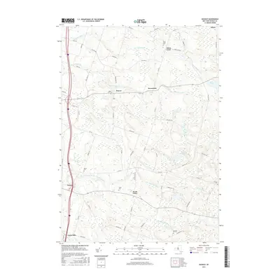
 2023 Dugway2023 Print · USGSOswego County's agricultural and riverine landscape is captured here in the early twenty-first century, showing the small hubs of Parish and Dugway. Local researchers can trace family sites and old boundaries near Albion Center Cem, Carley Mills, and Saint Marys Pond.
 - 2023 Map of Richland, 2023 Print
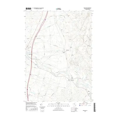
 2023 Richland2023 Print · USGSOswego County's river-fed landscape is captured here in the early twenty-first century, centered on the historic crossroads of Richland and the Salmon River. Researchers can locate numerous burial sites like Stevens Cem and Salmon River Cem or trace local landmarks like Richland Airpark.
End of results
Showing maps 1-20 of 20
Top cities near Albion
- Hastings historical maps
- Schroeppel historical maps
- Richland historical maps
- Vienna historical maps
- Camden historical maps
- Constantia historical maps
See more
Top neighborhoods of Albion
- Pineville historical maps
- Dugway historical maps
- Howardville historical maps
- Albion Center historical maps
- Centerville historical maps
- Altmar historical maps
Frequently asked questions
- What are the different types of historical maps available for Albion?
- What is the oldest map of Albion?
- Where can I purchase historical maps of Albion for my home or office?
- Where can I download high-res historical maps of Albion?
- Are there historical topographic maps available for Albion?
- Is there historical aerial imagery available for Albion?
- Where are historical maps of Albion sourced from?