Old Maps of Hewitt Quad, Oswego for Genealogy
Trace your family roots with 13 historic maps of Hewitt Quad. These high-res maps reveal old neighborhoods, homesites, landmarks, and streets — helping you uncover where your ancestors lived and how the area evolved over time.
- Explore historic neighborhoods: Identify where your relatives may have lived in the 1800s or 1900s.
- Compare maps over time: Trace the changes in streets, buildings, and landmarks for multi-generational research.
- Perfect for genealogy & ancestry research: Used by family historians and researchers to map out lineage and migration.
These maps are an incredible resource for exploring your personal connection to Hewitt Quad's past.
Hewitt Quad, Oswego maps
(13)- 1900 Map of Oswego
 1900 Oswego1900 Print · USGSThe Lake Ontario shoreline in Oswego and Cayuga Counties at the turn of the century is a hub of maritime and rail commerce. Genealogists and historians can trace the paths of four major railroads serving lakefront communities like North Fairhaven and the historic grounds of Fort Ontario.8 unique versions available
 - 1943 Map of Oswego West
 1943 Oswego West1943 Print · USGSOswego and its harbor front on Lake Ontario during the early years of the war, showing a landscape defined by schools, chapels, and the historic Fort Ontario. Genealogists can trace early homesteads and communities near Fruit Valley, Irish Settlement Cem, and School No 10.
 - 1954 Map of Oswego West, 1955 Print
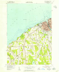 1954 Oswego West1955 Print · USGSThe Lake Ontario shoreline near Oswego is captured here during the mid-fifties, showing the city's growth alongside its deep military and educational roots. Genealogists can locate family landmarks like the Irish Settlement, Rice Cemetery, and Saint Marys Chapel.4 unique versions available
 - 1960 Map of Rochester
 1960 Rochester1960 Print · USGSThe Lake Ontario shoreline in the late fifties was a bustling corridor of rail and water commerce. Genealogists and historians can trace the path of the New York Central through canal towns like Newark or explore the coastal landmarks around Sackets Harbor.2 unique versions available
 - 1960 Map of Oswego, 1961 Print
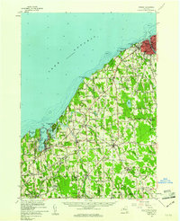 1960 Oswego1961 Print · USGSLake Ontario's southern shore and the busy port of Oswego are shown here during the early sixties. Researchers can trace the waterfront legacy of Fort Ontario, the New York Central tracks, and rural landmarks like St Joseph Chapel or School No 9.2 unique versions available
 - 1961 Map of Rochester, 1973 Print
 1961 Rochester1973 Print · USGSThe Lake Ontario shoreline and Finger Lakes frontier are shown here at the height of the mid-century infrastructure boom. Genealogists and historians can trace the rail-and-road evolution from Sackets Harbor down to the New York State Thruway, passing through centers like Pulaski and Adams Center.3 unique versions available
 - 1965 Map of Rochester
 1965 Rochester1965 Print · USGSUpstate New York's industrial heartland is captured here during a period of significant growth between the Great Lakes and the Finger Lakes. Genealogists and historians can trace the evolution of canal towns and rail hubs from Rochester to Syracuse, noting features like the Erie Canal and the New York State Thruway.
 - 1985 Map of Syracuse
 1985 Syracuse1985 Print · USGSCentral New York in the mid-eighties shows a landscape of established canal towns and growing metropolitan suburbs linked by rail and water. Researchers can trace the path of the Erie Canal, find the boundaries of Montezuma Marsh, and locate regional landmarks like Oneida Lake and Chimney Bluffs.3 unique versions available
 - 2010 Map of Oswego West, 2010 Print
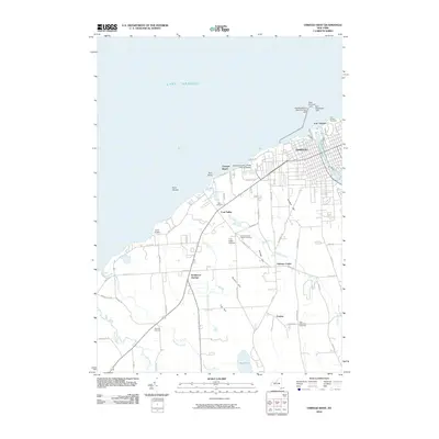 2010 Oswego West2010 Print · USGSThe Lake Ontario shoreline at Oswego is shown in great detail during the early 21st century, from the historic fort to the university campus. Researchers can locate family landmarks like the Irish Settlement Cemetery, Rice Cemetery, and Fruit Valley Orchard.
 - 2013 Map of Oswego West, 2013 Print
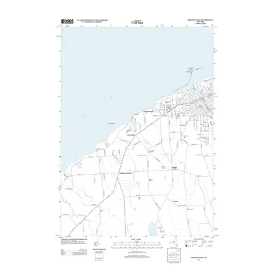 2013 Oswego West2013 Print · USGSThe Lake Ontario shoreline near Oswego is detailed here during the early 2010s, showing the intersection of maritime history and modern education. Genealogists can trace family burial sites like Irish Settlement Cem and Rice Cem or locate old landmarks such as Camp Hollis.
 - 2016 Map of Oswego West, 2016 Print
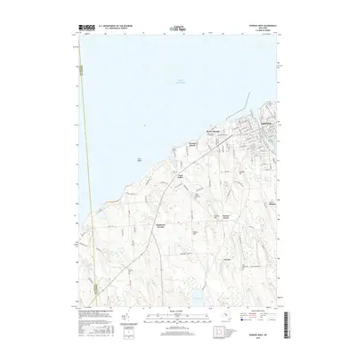 2016 Oswego West2016 Print · USGSOswego and its western lakefront surroundings are captured here during a period of modern academic and residential growth. Genealogists and historians can locate old burial grounds like Irish Settlement Cem and trace the development around SUNY Oswego and Fort Ontario.
 - 2019 Map of Oswego West, 2019 Print
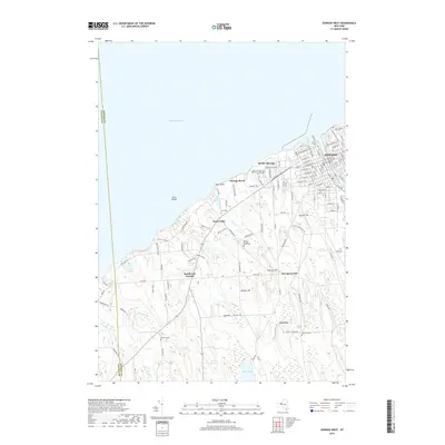 2019 Oswego West2019 Print · USGSThe western reaches of Oswego meet the Lake Ontario shore during the late 2010s. Researchers can trace the city’s grid from the Oswego County Courthouse out to rural landmarks like the Fort Ontario Post Cem and the Old Irish Cem.
 - 2023 Map of Oswego West, 2023 Print
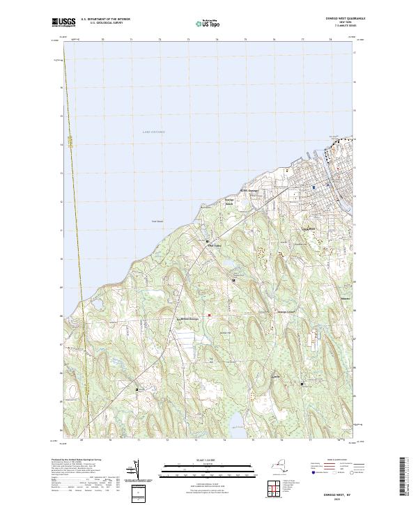 2023 Oswego West2023 Print · USGSThe lakefront at Oswego and its surrounding townships are shown in detail as they appeared in the early 2020s. Genealogists can trace several local burial grounds including Rice Cem and Stevens Cem or the sprawling SUNY Oswego campus.
End of results
Showing maps 1-13 of 13
Frequently asked questions
- What are the different types of historical maps available for Hewitt Quad?
- What is the oldest map of Hewitt Quad?
- Where can I purchase historical maps of Hewitt Quad for my home or office?
- Where can I download high-res historical maps of Hewitt Quad?
- Are there historical topographic maps available for Hewitt Quad?
- Is there historical aerial imagery available for Hewitt Quad?
- Where are historical maps of Hewitt Quad sourced from?