2000s (21st Century) Maps of Milford, New York
Explore 20 historic maps of Milford from the 2000s (21st Century). These maps offer a rare glimpse into what life looked like during the 2000s — showing old roads, neighborhoods, homes, and landmarks that have changed or disappeared over time.
Whether you're researching your family's past, planning a metal detecting trip, or studying how Milford's landscape evolved across the 2000s, these high-resolution maps are a powerful tool for exploring the history of this region.
- Focus on a specific era: All maps on this page are from the 2000s, giving you a focused view of this time period.
- See what’s changed: Compare century-old streets, trails, and buildings to today's modern landscape using overlays and satellite layers.
- Research with precision: Use these maps for genealogy, historical research, land use analysis, or educational projects.
- View, download, or print: Maps are fully viewable online in high resolution, and can be downloaded or printed for your own records.
Start exploring Milford's history through authentic maps from the 2000s. This is your window into the past.
Milford, NY maps
(20)- 2010 Map of West Davenport, 2010 Print
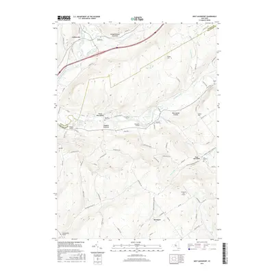
 2010 West Davenport2010 Print · USGSCovers Milford, including Oneonta, Davenport, and other nearby areas
 - 2010 Map of Oneonta, 2010 Print
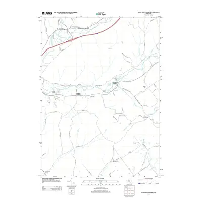
 2010 Oneonta2010 Print · USGSCovers Milford, including Oneonta, Oneonta, and other nearby areas
 - 2010 Map of Mount Vision, 2010 Print
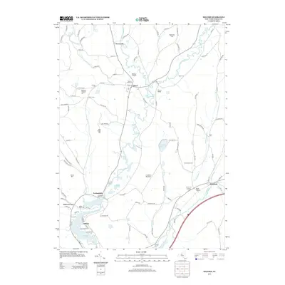
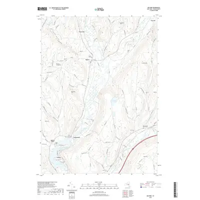
 2010 Mount Vision2010 Print · USGSCovers Milford, including Oneonta, Laurens, and other nearby areas
 - 2010 Map of Milford, 2010 Print
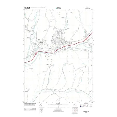
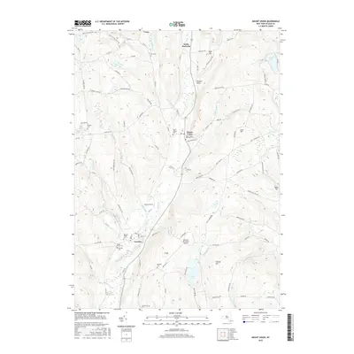
 2010 Milford2010 Print · USGSCovers Milford, including Hartwick, Middlefield, and other nearby areas
 - 2013 Map of Mount Vision, 2013 Print
 2013 Mount Vision2013 Print · USGSCovers Milford, including Oneonta, Laurens, and other nearby areas
 - 2013 Map of Oneonta, 2013 Print
 2013 Oneonta2013 Print · USGSCovers Milford, including Oneonta, Oneonta, and other nearby areas
 - 2013 Map of Milford, 2013 Print
 2013 Milford2013 Print · USGSCovers Milford, including Hartwick, Middlefield, and other nearby areas
 - 2013 Map of West Davenport, 2013 Print
 2013 West Davenport2013 Print · USGSCovers Milford, including Oneonta, Davenport, and other nearby areas
 - 2016 Map of Milford, 2016 Print
 2016 Milford2016 Print · USGSCovers Milford, including Hartwick, Middlefield, and other nearby areas
 - 2016 Map of West Davenport, 2016 Print
 2016 West Davenport2016 Print · USGSCovers Milford, including Oneonta, Davenport, and other nearby areas
 - 2016 Map of Mount Vision, 2016 Print
 2016 Mount Vision2016 Print · USGSCovers Milford, including Oneonta, Laurens, and other nearby areas
 - 2016 Map of Oneonta, 2016 Print
 2016 Oneonta2016 Print · USGSCovers Milford, including Oneonta, Oneonta, and other nearby areas
 - 2019 Map of West Davenport, 2019 Print
 2019 West Davenport2019 Print · USGSCovers Milford, including Oneonta, Davenport, and other nearby areas
 - 2019 Map of Oneonta, 2019 Print
 2019 Oneonta2019 Print · USGSCovers Milford, including Oneonta, Oneonta, and other nearby areas
 - 2019 Map of Milford, 2019 Print
 2019 Milford2019 Print · USGSCovers Milford, including Hartwick, Middlefield, and other nearby areas
 - 2019 Map of Mount Vision, 2019 Print
 2019 Mount Vision2019 Print · USGSCovers Milford, including Oneonta, Laurens, and other nearby areas
 - 2023 Map of West Davenport, 2023 Print
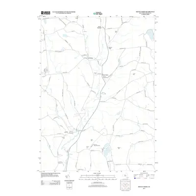
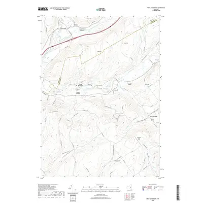
 2023 West Davenport2023 Print · USGSTracing the border of Otsego and Delaware counties, this recent survey shows the deep valleys of Charlotte Creek and the Susquehanna River. Genealogists can locate several burial grounds like McMinn Cem and trace rural settlements from West Davenport to East Meredith.
 - 2023 Map of Oneonta, 2023 Print
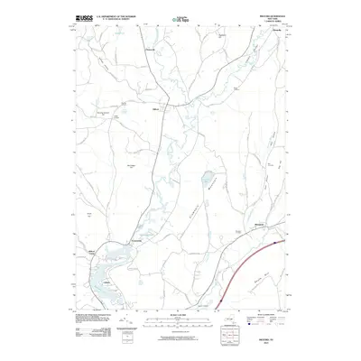
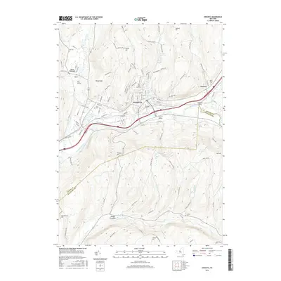
 2023 Oneonta2023 Print · USGSThe Susquehanna River valley and its surrounding highlands are captured here in the early twenty-first century. Researchers can trace local lineage through Riverside Cem and Oneonta Plains Cem or explore the academic footprints of Hartwick College.
 - 2023 Map of Mount Vision, 2023 Print
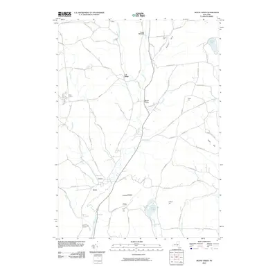
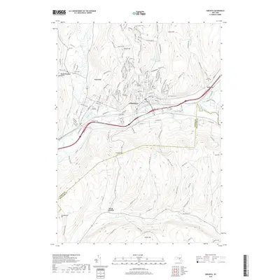
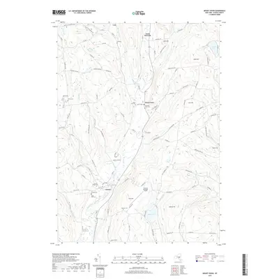
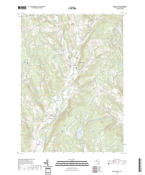 2023 Mount Vision2023 Print · USGSUpper Otsego County in the early twenty-first century remains a landscape of valley hamlets and high ridges. Researchers can trace historic burial sites like Lena Cem and Elm Row Cem or explore the geography of Wilber Lake and Arnold Lake.
 - 2023 Map of Milford, 2023 Print
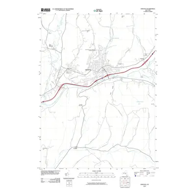
 2023 Milford2023 Print · USGSThis Otsego County landscape highlights the Upper Susquehanna valley during the early twenty-first century. Genealogists and local historians can trace family locations through numerous sites like Milford Village Cem, Platt Hollow, and Maryland.
End of results
Showing maps 1-20 of 20
Top cities near Milford
- Oneonta historical maps
- Sidney historical maps
- Oneonta historical maps
- Delhi historical maps
- Otsego historical maps
- Davenport historical maps
See more
Top neighborhoods of Milford
- Cooperstown Junction historical maps
- Milford Center historical maps
- Colliersville historical maps
- Cliffside historical maps
- Milford historical maps
- Portlandville historical maps
Frequently asked questions
- What are the different types of historical maps available for Milford?
- What is the oldest map of Milford?
- Where can I purchase historical maps of Milford for my home or office?
- Where can I download high-res historical maps of Milford?
- Are there historical topographic maps available for Milford?
- Is there historical aerial imagery available for Milford?
- Where are historical maps of Milford sourced from?