Old Maps of Maple Grove, Morris for Metal Detecting
Plan your next treasure hunt with 14 historic maps of Maple Grove. Find old homesites, ghost towns, trails, and gathering spots that may be lost to time — perfect for identifying promising metal detecting locations.
- Locate forgotten sites: Uncover places like long-lost settlements, abandoned rail lines, or gathering spots.
- Plan better hunts: Use map overlays combined with LiDAR or satellite views to narrow in on historically rich areas.
- Made for detectorists: Thousands of hobbyists use these maps to discover relics, coins, and hidden history.
Use these historic maps to boost your research and find new opportunities beneath the surface of Maple Grove.
Maple Grove, Morris maps
(14)- 1915 Map of Oneonta
 1915 Oneonta1915 Print · USGSOtsego and Delaware counties thrived at this moment in the early twentieth century as a busy corridor for the Ulster and Delaware railroad. Genealogists and local historians can trace family-named schoolhouses and the agricultural economy at Arctic Creamery or the rural Franklin Depot.
 - 1918 Map of Oneonta
 1918 Oneonta1918 Print · USGSOneonta and the Susquehanna valley are captured here at a peak of rail-driven commerce during the early twentieth century. Genealogists and historians can locate scores of numbered country schools and rural landmarks like the Arctic Creamery, Wells Bridge, and Franklin Depot.3 unique versions available
 - 1943 Map of Otego, 1960 Print
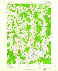 1943 Otego1960 Print · USGSOtsego County's rural uplands and river valleys are captured here during the mid-1940s as the rail-and-river economy persisted in villages like Otego. Genealogists can locate family landmarks including Burdick Cem, Otego Ch, and the Perry Sch.3 unique versions available
 - 1945 Map of Otego
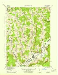 1945 Otego1945 Print · USGSThe Susquehanna River valley in the 1940s is shown here at high detail, centered on the village of Otego and its rail connections. Researchers can locate numerous family burial grounds like Evergreen Cem and Quackenbush Cem or rural landmarks like Perry School.
 - 1948 Map of Binghamton, 1980 Print
 1948 Binghamton1980 Print · USGSCentral New York and the Southern Tier thrive in the late 1940s as a hub of rail traffic and mountain industry. Researchers can trace historic transit lines like the Erie Railroad through Binghamton or find old valley settlements near Oneonta and Delhi.
 - 1950 Map of Binghamton
 1950 Binghamton1950 Print · USGSBinghamton and the surrounding Southern Tier are shown in the mid-century era, highlighting the intricate rail and river networks that drove local industry. Researchers can trace the path of the Erie Railroad and locate landmarks from Otsego Lake to Sidney Mountain.2 unique versions available
 - 1958 Map of Binghamton
 1958 Binghamton1958 Print · USGSCentral New York in the late fifties was a network of manufacturing cities and river valleys connected by vital rail lines. Genealogists and historians can trace family roots in Oneonta, Norwich, and Cooperstown or locate long-standing farms along Schoharie Creek.
 - 1963 Map of Binghamton
 1963 Binghamton1963 Print · USGSThe Southern Tier and Catskill peaks are shown in the early sixties as new reservoirs reshaped the valleys. Trace historic rail corridors like the Erie Lackawanna RR and explore lakeside settlements such as Cooperstown and Oneonta.
 - 1985 Map of Binghamton, 1986 Print
 1985 Binghamton1986 Print · USGSThe Southern Tier during the mid-1980s shows a landscape of river-valley industry and expanding university campuses. Genealogists and local historians can trace family roots through riverside towns like Bainbridge, Sidney, and the Calvary Cem in the Binghamton area.2 unique versions available
 - 2010 Map of Otego, 2010 Print
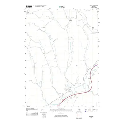 2010 Otego2010 Print · USGSThe Susquehanna River valley and its northern tributaries characterize this part of New York at the start of the decade. Genealogists can trace ancestral sites through numerous small burial grounds like Carr Cemetery, Emmons Cemetery, and Pope Cemetery.
 - 2013 Map of Otego, 2013 Print
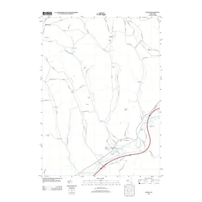 2013 Otego2013 Print · USGSOtsego County's rural character is preserved in the early 2010s, focused on the river valley and its upland creek branches. Researchers can locate numerous family burial sites like Flax Island Cem and Quackenbush Cem, or trace landmarks like Cook Corners.
 - 2016 Map of Otego, 2016 Print
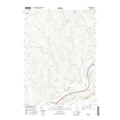 2016 Otego2016 Print · USGSThe Otsego County highlands meet the Susquehanna River in this 2016 survey of the area surrounding Otego. Researchers can locate numerous rural burial sites like Evergreen Cem and Quackenbush Cem or trace family landmarks across Calder Hill.
 - 2019 Map of Otego, 2019 Print
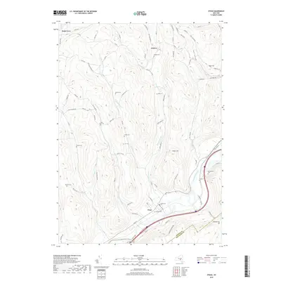 2019 Otego2019 Print · USGSUpper Susquehanna Valley life is captured here in the late 2010s, centered on the village of Otego and its surrounding hills. Genealogists can trace dozens of rural burial sites like Flax Island Cem, Emmons Cem, and Quackenbush Cem.
 - 2023 Map of Otego, 2023 Print
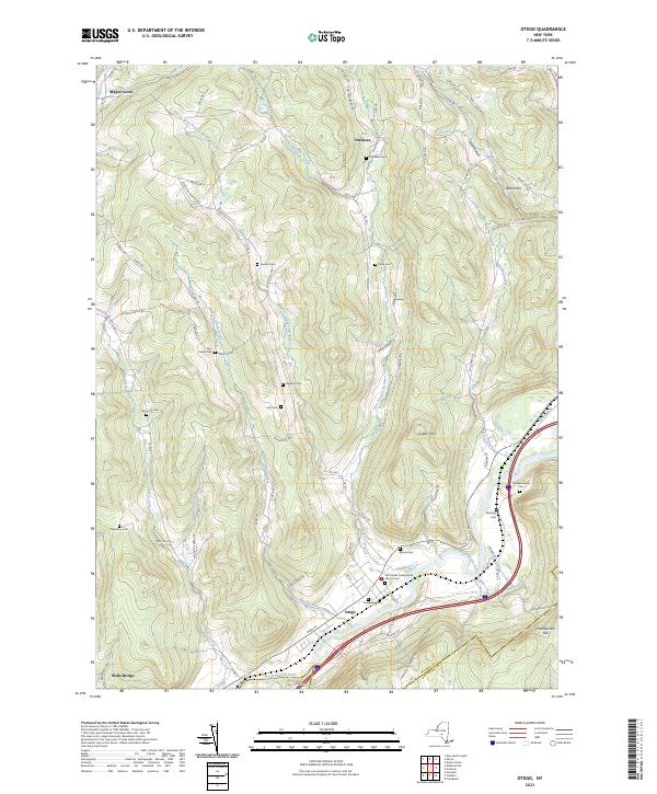 2023 Otego2023 Print · USGSThe Susquehanna River valley and its surrounding highlands are captured in this modern survey of Otsego County. Local historians can trace dozens of family burial grounds such as Burdick Cemetery and Northup Cemetery or explore the rural routes through Otsdawa and Wells Bridge.
End of results
Showing maps 1-14 of 14
Top cities near Maple Grove
- Oneonta historical maps
- Sidney historical maps
- Oneonta historical maps
- Delhi historical maps
- Unadilla historical maps
- Sherburne historical maps
See more
Frequently asked questions
- What are the different types of historical maps available for Maple Grove?
- What is the oldest map of Maple Grove?
- Where can I purchase historical maps of Maple Grove for my home or office?
- Where can I download high-res historical maps of Maple Grove?
- Are there historical topographic maps available for Maple Grove?
- Is there historical aerial imagery available for Maple Grove?
- Where are historical maps of Maple Grove sourced from?