2000s (21st Century) Maps of Otego, New York
Explore 25 historic maps of Otego from the 2000s (21st Century). These maps offer a rare glimpse into what life looked like during the 2000s — showing old roads, neighborhoods, homes, and landmarks that have changed or disappeared over time.
Whether you're researching your family's past, planning a metal detecting trip, or studying how Otego's landscape evolved across the 2000s, these high-resolution maps are a powerful tool for exploring the history of this region.
- Focus on a specific era: All maps on this page are from the 2000s, giving you a focused view of this time period.
- See what’s changed: Compare century-old streets, trails, and buildings to today's modern landscape using overlays and satellite layers.
- Research with precision: Use these maps for genealogy, historical research, land use analysis, or educational projects.
- View, download, or print: Maps are fully viewable online in high resolution, and can be downloaded or printed for your own records.
Start exploring Otego's history through authentic maps from the 2000s. This is your window into the past.
Otego, NY maps
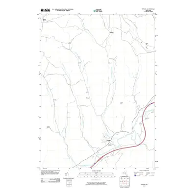
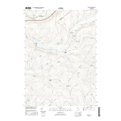
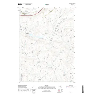
(25)- 2010 Map of Franklin, 2010 Print
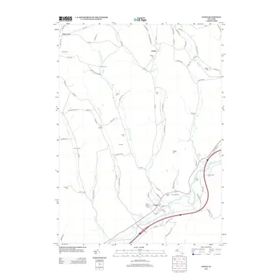
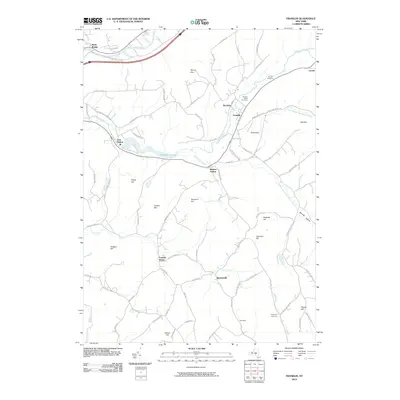 2010 Franklin2010 Print · USGSCovers Otego, including Sidney, Walton, and other nearby areas
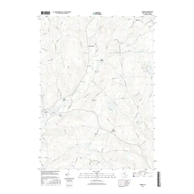
 - 2010 Map of Otego, 2010 Print
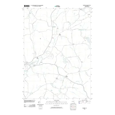
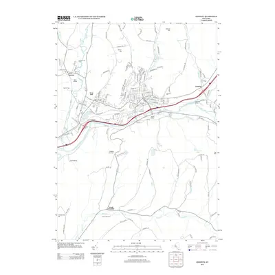
 2010 Otego2010 Print · USGSCovers Otego, including Sidney, Oneonta, and other nearby areas
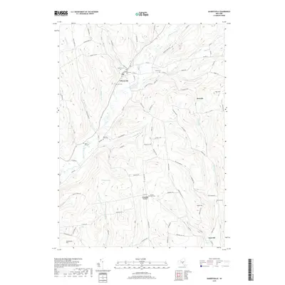
 - 2010 Map of Gilbertsville, 2010 Print
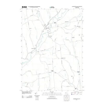
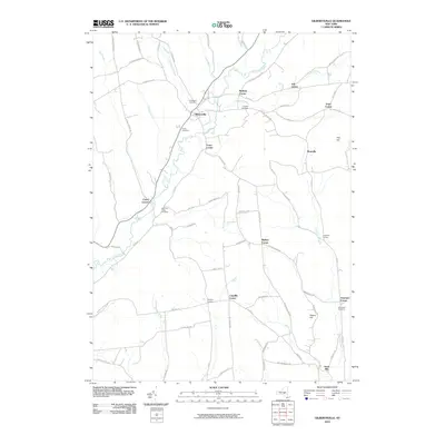 2010 Gilbertsville2010 Print · USGSCovers Otego, including Unadilla, Guilford, and other nearby areas
 - 2010 Map of Oneonta, 2010 Print
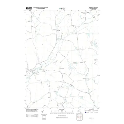
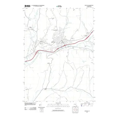 2010 Oneonta2010 Print · USGSCovers Otego, including Oneonta, Oneonta, and other nearby areas
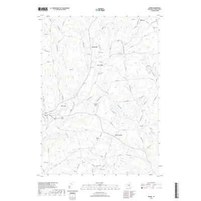
 - 2010 Map of Morris, 2010 Print
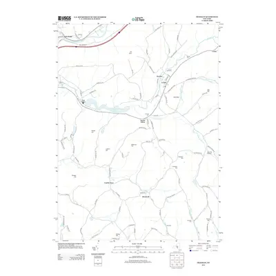
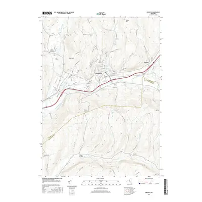
 2010 Morris2010 Print · USGSCovers Otego, including Laurens, Morris, and other nearby areas
 - 2013 Map of Morris, 2013 Print
 2013 Morris2013 Print · USGSCovers Otego, including Laurens, Morris, and other nearby areas
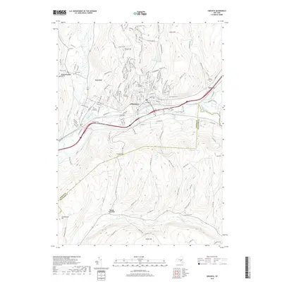
 - 2013 Map of Franklin, 2013 Print
 2013 Franklin2013 Print · USGSCovers Otego, including Sidney, Walton, and other nearby areas
 - 2013 Map of Otego, 2013 Print
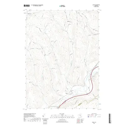
 2013 Otego2013 Print · USGSCovers Otego, including Sidney, Oneonta, and other nearby areas
 - 2013 Map of Oneonta, 2013 Print
 2013 Oneonta2013 Print · USGSCovers Otego, including Oneonta, Oneonta, and other nearby areas
 - 2013 Map of Gilbertsville, 2013 Print
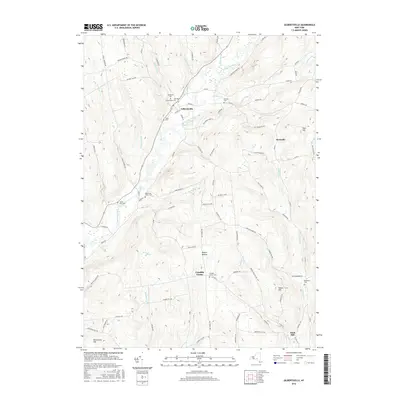
 2013 Gilbertsville2013 Print · USGSCovers Otego, including Unadilla, Guilford, and other nearby areas
 - 2016 Map of Gilbertsville, 2016 Print
 2016 Gilbertsville2016 Print · USGSCovers Otego, including Unadilla, Guilford, and other nearby areas
 - 2016 Map of Oneonta, 2016 Print
 2016 Oneonta2016 Print · USGSCovers Otego, including Oneonta, Oneonta, and other nearby areas
 - 2016 Map of Morris, 2016 Print
 2016 Morris2016 Print · USGSCovers Otego, including Laurens, Morris, and other nearby areas
 - 2016 Map of Otego, 2016 Print
 2016 Otego2016 Print · USGSCovers Otego, including Sidney, Oneonta, and other nearby areas
 - 2016 Map of Franklin, 2016 Print
 2016 Franklin2016 Print · USGSCovers Otego, including Sidney, Walton, and other nearby areas
 - 2019 Map of Otego, 2019 Print
 2019 Otego2019 Print · USGSCovers Otego, including Sidney, Oneonta, and other nearby areas
 - 2019 Map of Franklin, 2019 Print
 2019 Franklin2019 Print · USGSCovers Otego, including Sidney, Walton, and other nearby areas
 - 2019 Map of Morris, 2019 Print
 2019 Morris2019 Print · USGSCovers Otego, including Laurens, Morris, and other nearby areas
 - 2019 Map of Gilbertsville, 2019 Print
 2019 Gilbertsville2019 Print · USGSCovers Otego, including Unadilla, Guilford, and other nearby areas
 - 2019 Map of Oneonta, 2019 Print
 2019 Oneonta2019 Print · USGSCovers Otego, including Oneonta, Oneonta, and other nearby areas
 - 2023 Map of Otego, 2023 Print
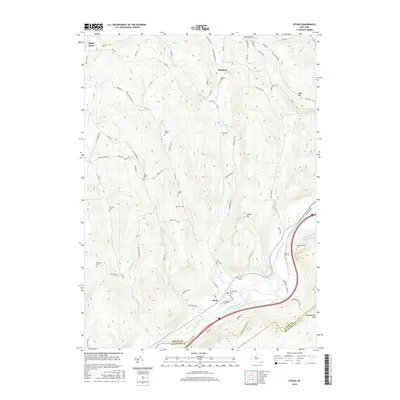
 2023 Otego2023 Print · USGSThe Susquehanna River valley and its surrounding highlands are captured in this modern survey of Otsego County. Local historians can trace dozens of family burial grounds such as Burdick Cemetery and Northup Cemetery or explore the rural routes through Otsdawa and Wells Bridge.
 - 2023 Map of Oneonta, 2023 Print
 2023 Oneonta2023 Print · USGSThe Susquehanna River valley and its surrounding highlands are captured here in the early twenty-first century. Researchers can trace local lineage through Riverside Cem and Oneonta Plains Cem or explore the academic footprints of Hartwick College.
 - 2023 Map of Gilbertsville, 2023 Print
 2023 Gilbertsville2023 Print · USGSOtsego County's rural character is preserved in this modern survey of the Gilbertsville and Unadilla Center area. Genealogists can trace family locations through numerous sites like Old Churchyard Cem, Sand Hill, and the secluded Black Ash Bog.
 - 2023 Map of Franklin, 2023 Print
 2023 Franklin2023 Print · USGSDelaware County’s rural highlands and river valleys are documented here in the early twenty-first century. Researchers can trace family history through several local burying grounds like Valley Cemetery and East Sidney Cemetery or locate the site of Franklin Depot.
 - 2023 Map of Morris, 2023 Print
 2023 Morris2023 Print · USGSOtsego County's rural character and long-established hamlets are beautifully preserved in this recent survey of the New York foothills. Genealogists and historians can trace family roots through numerous sites like the Quaker Burying Ground, Old Church Cem, and the quiet crossroads of Stetsonville.
End of results
Showing maps 1-25 of 25
Top cities near Otego
- Oneonta historical maps
- Sidney historical maps
- Walton historical maps
- Oneonta historical maps
- Delhi historical maps
- Unadilla historical maps
See more
Top neighborhoods of Otego
Frequently asked questions
- What are the different types of historical maps available for Otego?
- What is the oldest map of Otego?
- Where can I purchase historical maps of Otego for my home or office?
- Where can I download high-res historical maps of Otego?
- Are there historical topographic maps available for Otego?
- Is there historical aerial imagery available for Otego?
- Where are historical maps of Otego sourced from?