2000s (21st Century) Maps of Southeast, New York
Explore 20 historic maps of Southeast from the 2000s (21st Century). These maps offer a rare glimpse into what life looked like during the 2000s — showing old roads, neighborhoods, homes, and landmarks that have changed or disappeared over time.
Whether you're researching your family's past, planning a metal detecting trip, or studying how Southeast's landscape evolved across the 2000s, these high-resolution maps are a powerful tool for exploring the history of this region.
- Focus on a specific era: All maps on this page are from the 2000s, giving you a focused view of this time period.
- See what’s changed: Compare century-old streets, trails, and buildings to today's modern landscape using overlays and satellite layers.
- Research with precision: Use these maps for genealogy, historical research, land use analysis, or educational projects.
- View, download, or print: Maps are fully viewable online in high resolution, and can be downloaded or printed for your own records.
Start exploring Southeast's history through authentic maps from the 2000s. This is your window into the past.
Southeast, NY maps
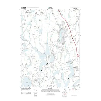
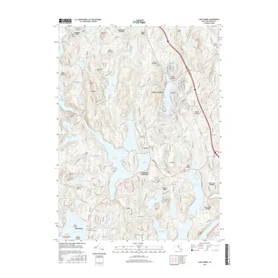
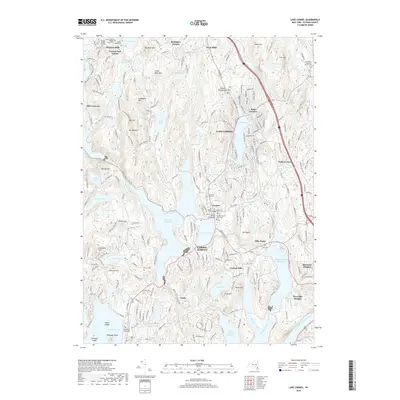
(20)- 2010 Map of Lake Carmel, 2010 Print
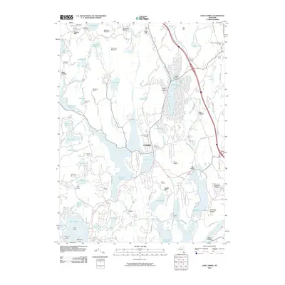 2010 Lake Carmel2010 Print · USGSCovers Southeast, including Carmel, Kent, and other nearby areas
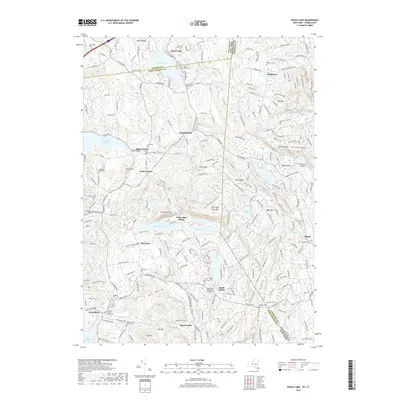
 - 2010 Map of Peach Lake, 2010 Print
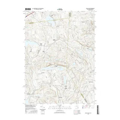
 2010 Peach Lake2010 Print · USGSCovers Southeast, including Danbury, Ridgebury, and other nearby areas
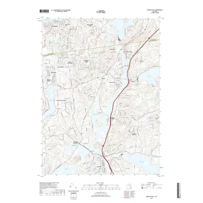
 - 2010 Map of Croton Falls, 2010 Print
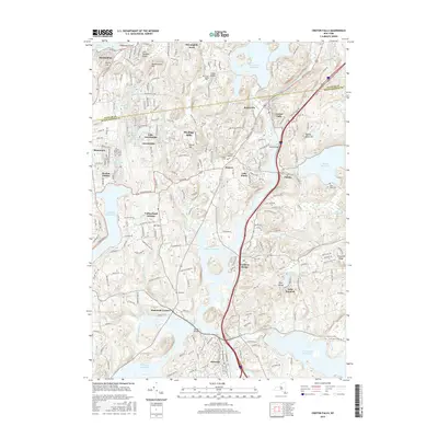
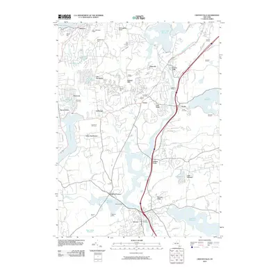 2010 Croton Falls2010 Print · USGSCovers Southeast, including Carmel, Somers, and other nearby areas
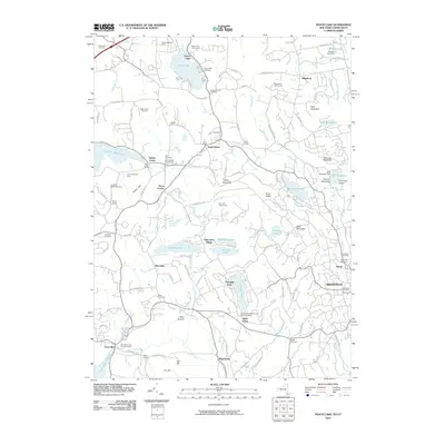
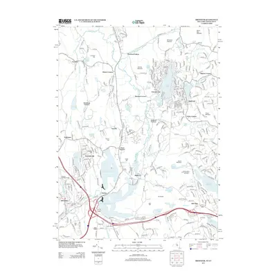
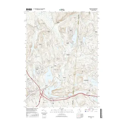
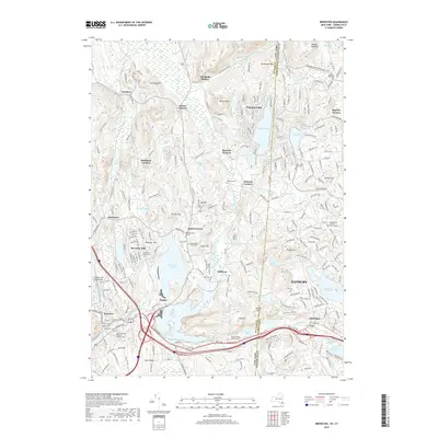
 - 2010 Map of Brewster, 2010 Print
 2010 Brewster2010 Print · USGSCovers Southeast, including Danbury, New Fairfield, and other nearby areas
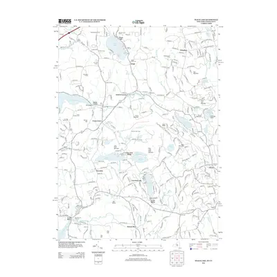
 - 2013 Map of Lake Carmel, 2013 Print
 2013 Lake Carmel2013 Print · USGSCovers Southeast, including Carmel, Kent, and other nearby areas
 - 2013 Map of Brewster, 2013 Print
 2013 Brewster2013 Print · USGSCovers Southeast, including Danbury, New Fairfield, and other nearby areas
 - 2013 Map of Peach Lake, 2013 Print
 2013 Peach Lake2013 Print · USGSCovers Southeast, including Danbury, Ridgebury, and other nearby areas
 - 2013 Map of Croton Falls, 2013 Print
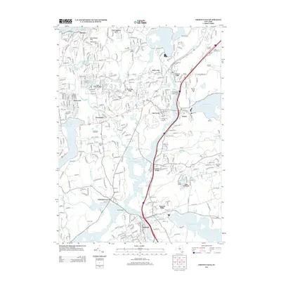 2013 Croton Falls2013 Print · USGSCovers Southeast, including Carmel, Somers, and other nearby areas
 - 2016 Map of Lake Carmel, 2016 Print
 2016 Lake Carmel2016 Print · USGSCovers Southeast, including Carmel, Kent, and other nearby areas
 - 2016 Map of Peach Lake, 2016 Print
 2016 Peach Lake2016 Print · USGSCovers Southeast, including Danbury, Ridgebury, and other nearby areas
 - 2016 Map of Brewster, 2016 Print
 2016 Brewster2016 Print · USGSCovers Southeast, including Danbury, New Fairfield, and other nearby areas
 - 2016 Map of Croton Falls, 2016 Print
 2016 Croton Falls2016 Print · USGSCovers Southeast, including Carmel, Somers, and other nearby areas
 - 2019 Map of Peach Lake, 2019 Print
 2019 Peach Lake2019 Print · USGSCovers Southeast, including Danbury, Ridgebury, and other nearby areas
 - 2019 Map of Croton Falls, 2019 Print
 2019 Croton Falls2019 Print · USGSCovers Southeast, including Carmel, Somers, and other nearby areas
 - 2019 Map of Lake Carmel, 2019 Print
 2019 Lake Carmel2019 Print · USGSCovers Southeast, including Carmel, Kent, and other nearby areas
 - 2019 Map of Brewster, 2019 Print
 2019 Brewster2019 Print · USGSCovers Southeast, including Danbury, New Fairfield, and other nearby areas
 - 2023 Map of Lake Carmel, 2023 Print
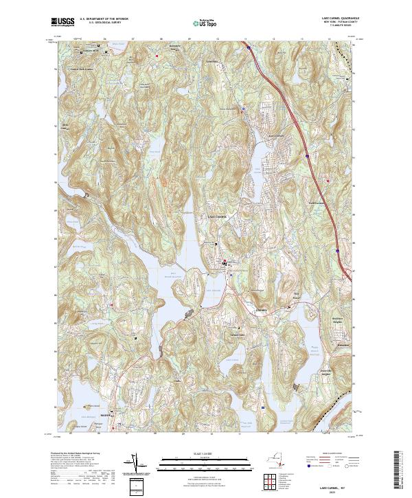 2023 Lake Carmel2023 Print · USGSThe Lake Carmel and Carmel area is shown here in the 2020s, defined by the expansive reservoirs of the Croton Watershed. Genealogists can trace family names at the Smalley Burial Ground, Raymond Hill Cemetery, and Gilead Cem.
 - 2023 Map of Brewster, 2023 Print
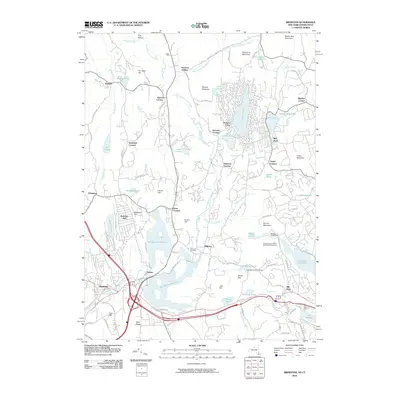
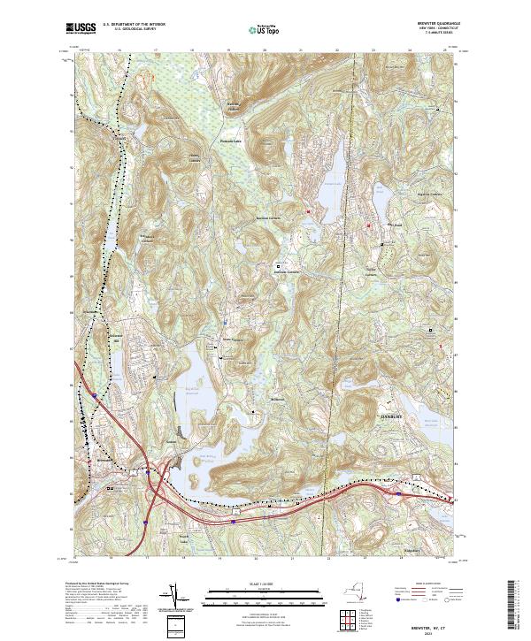 2023 Brewster2023 Print · USGSBrewster and the surrounding Putnam County borderlands are shown here in the early twenty-first century, just as the regional reservoir system and rail lines continue to shape the valley. Researchers can pinpoint numerous family burial sites and old hamlets like the Sears Burying Ground, Sodom, and Steinbeck Corners.
 - 2023 Map of Peach Lake, 2023 Print
 2023 Peach Lake2023 Print · USGSThe Westchester and Putnam County borderlands meet Connecticut in this recent survey of the North Salem area. Genealogists can locate family sites at the Peach Pond Friends Cem or trace the early paths of Old Post Rd near Waccabuc.
 - 2023 Map of Croton Falls, 2023 Print
 2023 Croton Falls2023 Print · USGSThe Westchester and Putnam county line near the reservoirs is shown here in modern detail. Researchers can trace family history at Saint Josephs Cem or locate the historic Mount Zion church and landmarks like Watermelon Hill.
End of results
Showing maps 1-20 of 20
Top cities near Southeast
- Stamford historical maps
- Danbury historical maps
- Ossining historical maps
- Yorktown historical maps
- Carmel historical maps
- East Fishkill historical maps
See more
Top neighborhoods of Southeast
- Drewville Heights historical maps
- Deans Corner historical maps
- Milltown historical maps
- Sodom historical maps
- Sears Corners historical maps
- Deforest Corners historical maps
See more
Frequently asked questions
- What are the different types of historical maps available for Southeast?
- What is the oldest map of Southeast?
- Where can I purchase historical maps of Southeast for my home or office?
- Where can I download high-res historical maps of Southeast?
- Are there historical topographic maps available for Southeast?
- Is there historical aerial imagery available for Southeast?
- Where are historical maps of Southeast sourced from?