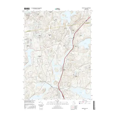
2016 Map of Croton Falls
USGS Topo · Published 2016About this map
Croton Falls Reservoir and Muscoot Reservoir dominate this landscape, illustrating the complex hydraulic engineering of the New York City water supply system. The map captures the meeting of Putnam and Westchester counties, where suburban development like Heritage Hills and Lincolndale exists alongside significant industrial infrastructure. The presence of the Delaware Aqueduct and the branching paths of the East Branch and West Branch Croton Rivers reflect a region defined by its role as a watershed. Local history is preserved in small burial grounds such as Ivandell Cem and Union Valley Cem, while the transport corridors of Railroad 3 and Railroad 5 connect settlements like Goldens Bridge and Purdys to the wider metropolitan area.
Find a feature on this map
147 named features on this map. Tap any name to fly to it.
Don’t see what you’re looking for? This feature index may not catch every label — zoom into the map to look around manually.
Map Details
Editions of this 2016 Croton Falls Map
This is the sole edition of this map. No revisions or reprints were ever made.
Other maps of this area

1892 · Stamford
USGS Topo · 1:62,500

1892 · West Point
USGS Topo · 1:62,500

1892 · Carmel
USGS Topo · 1:62,500

1892 · Tarrytown
USGS Topo · 1:62,500

1893 · Carmel
USGS Topo · 1:62,500

1893 · Stamford
USGS Topo · 1:62,500

1893 · Tarrytown
USGS Topo · 1:62,500

1894 · West Point
USGS Topo · 1:62,500

1894 · Carmel
USGS Topo · 1:62,500

1899 · Stamford
USGS Topo · 1:62,500