Old Maps of Thiells, Haverstraw for Hiking & Exploration
Hike through history with 37 historic maps of Thiells. Explore old trails, ghost towns, and forgotten backroads — perfect for outdoor adventurers and local explorers.
- Rediscover forgotten places: Map out old mining camps, roads, and footpaths that no longer exist on modern maps.
- Layer with modern tools: Combine with LiDAR or satellite views to plan hikes through historical terrain.
- Made for exploration: Popular among hikers, overlanders, and local history lovers.
Use these maps to find adventure and explore the hidden past of Thiells.
Thiells, Haverstraw maps
(37)- 1891 Map of Ramapo
 1891 Ramapo1891 Print · USGSThe Ramapo Mountains and northern New Jersey borderlands appear here in the decade before the turn of the century. Genealogists and local historians can trace the early rail networks through Sloatsburg and Suffern, or locate family sites in Pearl River and Ramseys.
 - 1892 Map of Tarrytown
 1892 Tarrytown1892 Print · USGSThe Hudson River valley in the late nineteenth century was a corridor of engineering and industrial growth. Researchers can trace the path of the Croton Aqueduct, locate the State Prison at Sing Sing, or find family names near Merritts Corners and Samsondale.
 - 1893 Map of Tarrytown
 1893 Tarrytown1893 Print · USGSThe Hudson Valley was a powerhouse of transit and utility in the late 1800s, serving as the corridor for New York’s water and rail networks. Genealogists can trace family names and old landings from Haverstraw to Tarrytown, including features like the State Prison and the massive Croton Dam.3 unique versions available
 - 1893 Map of Ramapo
 1893 Ramapo1893 Print · USGSThe Ramapo Valley and the New Jersey borderlands come alive in the late Victorian era, showing a landscape defined by mountain passes and a dense rail network. Genealogists can trace family names and early homesteads in Johnsontown, Eagle Valley, and Pearl River before modern development changed the region.6 unique versions available
 - 1902 Map of Tarrytown
 1902 Tarrytown1902 Print · USGSThe Hudson River valley at the turn of the century shows a landscape of busy river landings and nascent suburbs. Genealogists and historians can trace old homesteads and landmarks like Waldberg Landing, the State Prison at Ossining, and the Croton Aqueduct.11 unique versions available
 - 1910 Map of Ramapo
 1910 Ramapo1910 Print · USGSThe Ramapo Valley at the turn of the century served as a vital transit corridor between New York and New Jersey, dominated by rail lines and river industry. Genealogists and local historians can trace the foundations of Sloatsburg, Suffern, and Pearl River, alongside landmarks like the Ramapo Cem. and the Powder Works.6 unique versions available
 - 1931 Map of Ramapo
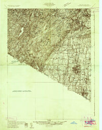 1931 Ramapo1931 Print · USGSRockland County in the late twenties and early thirties shows a unique mix of expanding suburban rail towns and state park wilderness. Genealogists and historians can trace Letchworth Village, the old Hogan Kamp Mine, and early schools like Bardonia Sch.3 unique versions available
 - 1937 Map of Tarrytown
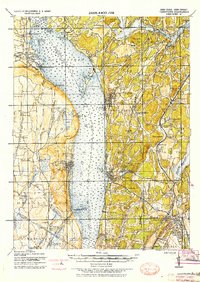 1937 Tarrytown1937 Print · USGSThe Hudson River valley during the 1930s serves as a busy corridor of rail, water, and infrastructure. Genealogists and local historians can trace the old landings at Waldberg Landing, the grounds of the State Prison in Ossining, and the rail lines through Nyack.
 - 1938 Map of Haverstraw
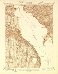 1938 Haverstraw1938 Print · USGSThe lower Hudson River corridor comes alive in this late 1930s survey of the bustling industrial and commuter towns along the riverbanks. Researchers can trace the path of the West Shore RR, find family roots at St Peters Cem, or locate the New York Reconstruction Home.
 - 1938 Map of Ramapo
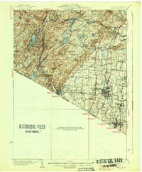 1938 Ramapo1938 Print · USGSRockland County in the late 1930s is revealed here as a landscape of institutional campuses, rail-side villages, and emerging parklands. Genealogists can trace family connections at Letchworth Village, St Agatha Home, and vanished hamlets like Sandyfield or Johnsontown.3 unique versions available
 - 1943 Map of Haverstraw
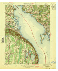 1943 Haverstraw1943 Print · USGSThe Hudson River's wide reach at the Tappan Zee is documented here during the early years of the war. Researchers can trace local heritage through the Rockland Lighthouse, family-named landings like Snedeker Landing, and early aviation at Christie Airport.2 unique versions available
 - 1947 Map of Hartford, 1955 Print
 1947 Hartford1955 Print · USGSSouthern New England and the Hudson Valley are shown in detail during the post-war expansion era. Genealogists and researchers can trace local landmarks from the State Capitol and Yale University to the Stratford Lighthouse and Woodlawn Cem.2 unique versions available
 - 1948 Map of Hartford
 1948 Hartford1948 Print · USGSSouthern New England is captured here in the late 1940s, showcasing a landscape of thriving industrial cities and developing parkways. Genealogists and historians can trace the rail networks of the New York New Haven and Hartford RR or locate coastal defense sites like Fort Terry and Camp Shanks.2 unique versions available
 - 1950 Map of Scranton, 1952 Print
 1950 Scranton1952 Print · USGSMid-century Northeast Pennsylvania and the Hudson Valley come alive in this survey of the tri-state region. Genealogists and historians can trace the dense rail networks of the Erie RR and DL&W RR between industrial hubs like Scranton and Wilkes-Barre.
 - 1953 Map of Scranton
 1953 Scranton1953 Print · USGSNortheastern Pennsylvania and the Catskills are shown in great detail during the early fifties, a time when rail lines and river valleys dictated the region's growth. Genealogists and historians can trace the industrial hearts of Scranton and Wilkes-Barre or locate remote landmarks like High Point and Lake Wallenpaupack.
 - 1955 Map of Thiells, 1957 Print
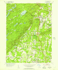 1955 Thiells1957 Print · USGSMid-century Rockland County was a landscape of dense woodlands and significant public institutions as the postwar era began. Researchers can trace the grounds of the Letchworth Village State Mental Institution, locate the Hogencamp Mine, and find historic congregations at Wesley Chapel.4 unique versions available
 - 1955 Map of Haverstraw, 1958 Print
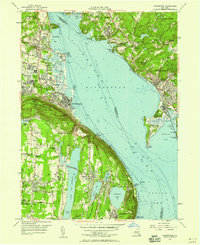 1955 Haverstraw1958 Print · USGSThe Hudson River valley during the mid-1950s shows a region of rising suburban life and deep-seated river history. Genealogists and local historians can locate the State Rehabilitation Hospital, Mount Repose Cemetery, and the riverfront Rockland Lighthouse.2 unique versions available
 - 1959 Map of Scranton
 1959 Scranton1959 Print · USGSThe northern coalfields and the Hudson Valley meet in this mid-century survey of the Pennsylvania and New York borderlands. Genealogists and historians can trace the intricate rail networks of the Erie Railroad and the vast waters of Lake Wallenpaupack.2 unique versions available
 - 1961 Map of Hartford
 1961 Hartford1961 Print · USGSSouthern New England and the Hudson Valley are shown here in the mid-fifties, capturing a landscape of booming coastal cities and interior hill towns. Researchers can trace the legacy of the New York New Haven and Hartford rail corridor and find strategic sites like Camp Shanks and Fort Michie.
 - 1962 Map of Hartford, 1971 Print
 1962 Hartford1971 Print · USGSSouthern New England and the Hudson Valley are shown in the early sixties, as suburban growth reached into the foothills. Trace the path of the New York New Haven & Hartford RR and find landmarks like Camp Nathan Hale and Gillette Castle State Park.3 unique versions available
 - 1962 Map of Scranton, 1977 Print
 1962 Scranton1977 Print · USGSThe industrial heart of eastern Pennsylvania and the New York Catskills are captured here in the early sixties. Genealogists and historians can trace the dense valley settlements from Scranton to Wilkes-Barre and the rail lines of the Erie Lackawanna Railroad.2 unique versions available
 - 1965 Map of Scranton
 1965 Scranton1965 Print · USGSThe tri-state highlands of Pennsylvania, New York, and New Jersey come alive in the mid-sixties as industry and recreation converge. Trace the intricate rail lines of the Erie Lackawanna RR or locate landmarks like the U S Military Academy.2 unique versions available
 - 1965 Map of Hartford
 1965 Hartford1965 Print · USGSSouthern New England and the Hudson Valley are shown here during the mid-sixties expansion of the Interstate era. Trace the path of the New York New Haven & Hartford RR or locate historic landmarks like West Point Military Reservation and the Merritt Parkway.2 unique versions available
 - 1967 Map of Haverstraw, 1969 Print
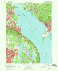 1967 Haverstraw1969 Print · USGSThe Hudson River's wide Haverstraw Bay is captured here in the late sixties, showing the suburban growth of Rockland and Westchester counties. Genealogists can locate family landmarks like Hillside Cem, Mount Repose Cemetery, and the Stony Point Lighthouse.
 - 1979 Map of Haverstraw
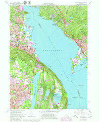 1979 Haverstraw1979 Print · USGSHaverstraw and the Hudson River banks show significant suburban and institutional growth by the late seventies. Researchers can locate family sites and landmarks like the Stony Point Lighthouse, Mount Repose Cemetery, and the F D Roosevelt VA Hospital.
Showing maps 1-25 of 37
Top cities near Thiells
- Yonkers historical maps
- Ramapo historical maps
- Greenburgh historical maps
- Clarkstown historical maps
- New Rochelle historical maps
- White Plains historical maps
See more
Top neighborhoods of Thiells
Frequently asked questions
- What are the different types of historical maps available for Thiells?
- What is the oldest map of Thiells?
- Where can I purchase historical maps of Thiells for my home or office?
- Where can I download high-res historical maps of Thiells?
- Are there historical topographic maps available for Thiells?
- Is there historical aerial imagery available for Thiells?
- Where are historical maps of Thiells sourced from?