2000s (21st Century) Maps of Airmont, Ramapo
Explore 10 historic maps of Airmont from the 2000s (21st Century). These maps offer a rare glimpse into what life looked like during the 2000s — showing old roads, neighborhoods, homes, and landmarks that have changed or disappeared over time.
Whether you're researching your family's past, planning a metal detecting trip, or studying how Airmont's landscape evolved across the 2000s, these high-resolution maps are a powerful tool for exploring the history of this region.
- Focus on a specific era: All maps on this page are from the 2000s, giving you a focused view of this time period.
- See what’s changed: Compare century-old streets, trails, and buildings to today's modern landscape using overlays and satellite layers.
- Research with precision: Use these maps for genealogy, historical research, land use analysis, or educational projects.
- View, download, or print: Maps are fully viewable online in high resolution, and can be downloaded or printed for your own records.
Start exploring Airmont's history through authentic maps from the 2000s. This is your window into the past.
Airmont, Ramapo maps
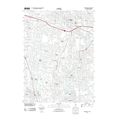
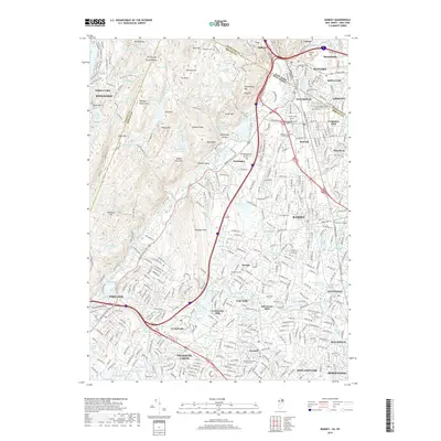
(10)- 2011 Map of Ramsey, 2011 Print
 2011 Ramsey2011 Print · USGSCovers Airmont, including Ramapo, Ridgewood, and other nearby areas
 - 2011 Map of Park Ridge, 2011 Print
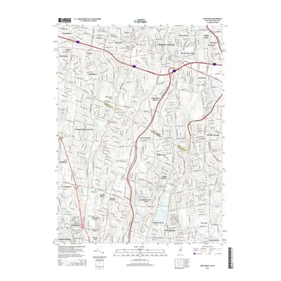
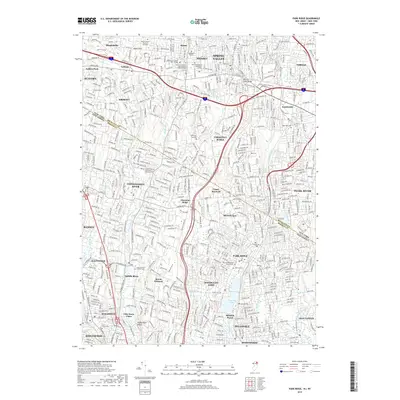
 2011 Park Ridge2011 Print · USGSCovers Airmont, including Ramapo, Clarkstown, and other nearby areas
 - 2014 Map of Ramsey, 2014 Print
 2014 Ramsey2014 Print · USGSCovers Airmont, including Ramapo, Ridgewood, and other nearby areas
 - 2014 Map of Park Ridge, 2014 Print
 2014 Park Ridge2014 Print · USGSCovers Airmont, including Ramapo, Clarkstown, and other nearby areas
 - 2016 Map of Ramsey, 2016 Print
 2016 Ramsey2016 Print · USGSCovers Airmont, including Ramapo, Ridgewood, and other nearby areas
 - 2016 Map of Park Ridge, 2016 Print
 2016 Park Ridge2016 Print · USGSCovers Airmont, including Ramapo, Clarkstown, and other nearby areas
 - 2019 Map of Ramsey, 2019 Print
 2019 Ramsey2019 Print · USGSCovers Airmont, including Ramapo, Ridgewood, and other nearby areas
 - 2019 Map of Park Ridge, 2019 Print
 2019 Park Ridge2019 Print · USGSCovers Airmont, including Ramapo, Clarkstown, and other nearby areas
 - 2023 Map of Park Ridge, 2023 Print
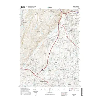
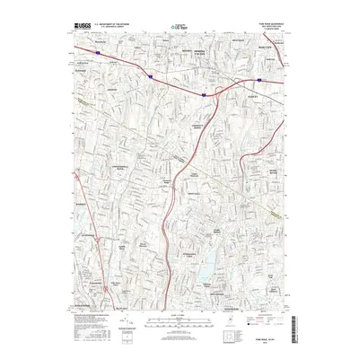
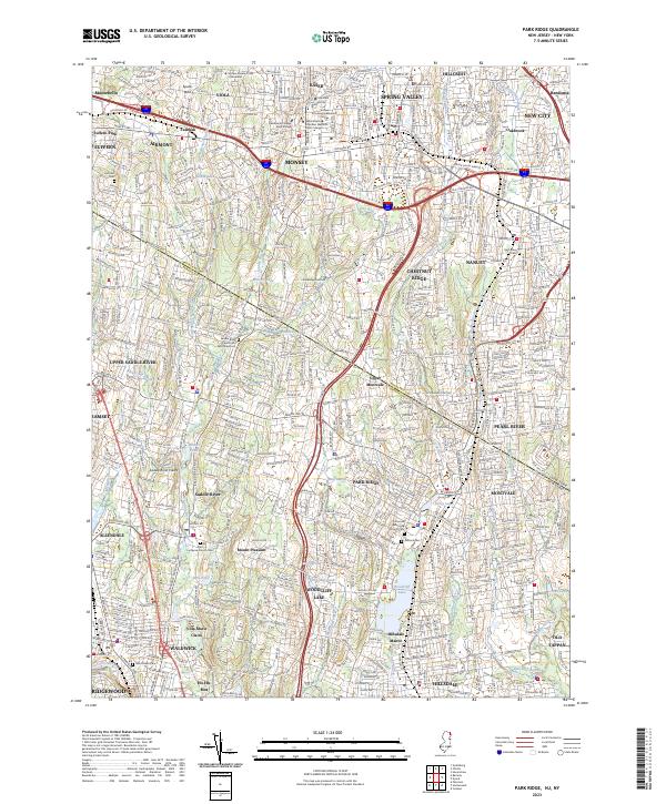 2023 Park Ridge2023 Print · USGSThe borderlands of Bergen and Rockland counties are captured here in the early twenty-first century, showing a landscape of established boroughs and winding waterways. Researchers can locate historic burial sites like the Low Dutch Reformed Cem and trace the shores of Woodcliff Lake and Monsey Lake.
 - 2023 Map of Ramsey, 2023 Print
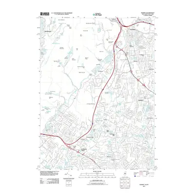
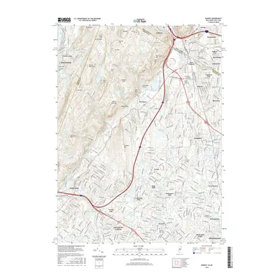
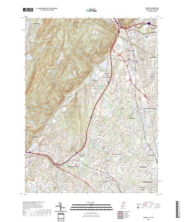 2023 Ramsey2023 Print · USGSThe northern Bergen County borderlands come into focus in this recent survey, where the rugged Ramapo Mountains meet the developed valleys of Ramsey and Mahwah. Researchers can trace local heritage through old burial sites like Redeemer Cem and historic locations like Ackermans Mills.
End of results
Showing maps 1-10 of 10
Top cities near Airmont
- New York historical maps
- Yonkers historical maps
- Ramapo historical maps
- Paterson historical maps
- Greenburgh historical maps
- Clarkstown historical maps
See more
Top neighborhoods of Airmont
Frequently asked questions
- What are the different types of historical maps available for Airmont?
- What is the oldest map of Airmont?
- Where can I purchase historical maps of Airmont for my home or office?
- Where can I download high-res historical maps of Airmont?
- Are there historical topographic maps available for Airmont?
- Is there historical aerial imagery available for Airmont?
- Where are historical maps of Airmont sourced from?