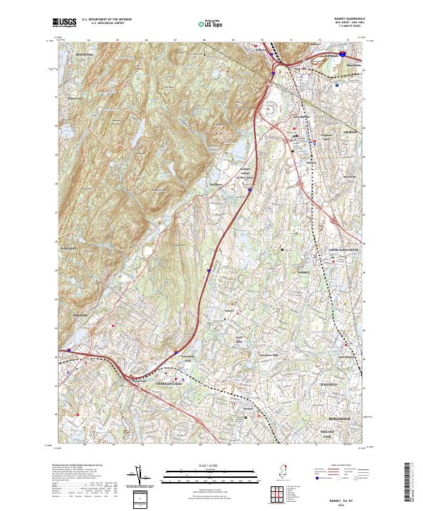
2023 Map of Ramsey
USGS Topo · Published 2023About this map
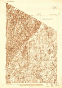
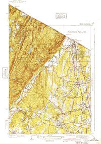
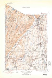
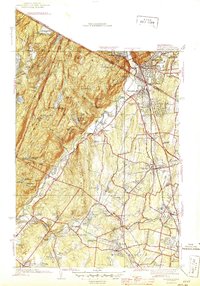
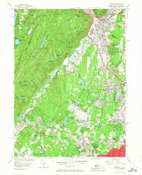
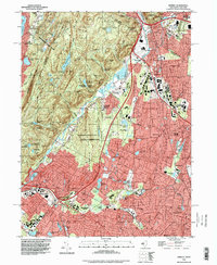
The Ramapo Mountains dominate the northwestern portion of this New Jersey and New York borderland, giving way to the densely settled corridors of the Ramapo River valley. This modern survey illustrates the transition from the high ridges of Bald Mtn and Houvenkopf Mtn to the established residential and institutional centers of Bergen County. The landscape is dotted with historical mill sites such as Pulis Mills and Ferdinands Mills, alongside significant educational campuses like Ramapo College of New Jersey. Transportation remains central to the area's layout, with the NY S & W RR and major thoroughfares like Wayne Ave and the Nyack Tpke cutting through the valleys. The map also meticulously documents numerous historical burial grounds, including the Ramapo Reformed Church Cem and Wyckoff Reformed Church Cem, reflecting the deep-rooted community heritage of towns like Ramsey, Mahwah, and Franklin Lakes.
Find a feature on this map
242 named features on this map. Tap any name to fly to it.
Don’t see what you’re looking for? This feature index may not catch every label — zoom into the map to look around manually.
Map Details
Editions of this 2023 Ramsey Map
This is the sole edition of this map. No revisions or reprints were ever made.
Historical Maps of Airmont Through Time
7 maps found