Old Maps of Rushville, New York for Metal Detecting
Plan your next treasure hunt with 13 historic maps of Rushville. Find old homesites, ghost towns, trails, and gathering spots that may be lost to time — perfect for identifying promising metal detecting locations.
- Locate forgotten sites: Uncover places like long-lost settlements, abandoned rail lines, or gathering spots.
- Plan better hunts: Use map overlays combined with LiDAR or satellite views to narrow in on historically rich areas.
- Made for detectorists: Thousands of hobbyists use these maps to discover relics, coins, and hidden history.
Use these historic maps to boost your research and find new opportunities beneath the surface of Rushville.
Rushville, NY maps
(13)- 1902 Map of Phelps
 1902 Phelps1902 Print · USGSOntario and Yates counties are shown here at a peak of rail-driven prosperity in the early twentieth century. Researchers can trace family roots through numerous hamlets and junctions like Clifton Springs, Oaks Corners, and Halls Corners, or follow the path of the Lehigh Valley R.R.7 unique versions available
 - 1942 Map of Rushville
 1942 Rushville1942 Print · USGSThe rural landscape of Ontario and Yates counties is meticulously detailed here in the early 1940s. Genealogists can locate family landmarks at Wilson Corners, trace ancestral burials at Washburn Cem, and follow the path of the Lehigh Valley Railroad.
 - 1950 Map of Elmira
 1950 Elmira1950 Print · USGSThe Finger Lakes region thrived in the late 1940s as a hub of industry and transport. Trace family roots and vanished landmarks near Seneca Lake or explore the rail lines of the Erie RR and the sprawling Seneca Ordnance Depot.2 unique versions available
 - 1952 Map of Rushville, 1953 Print
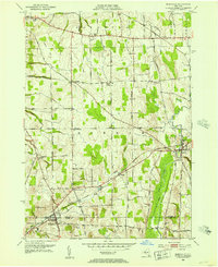 1952 Rushville1953 Print · USGSThe rural Finger Lakes borderlands of Ontario and Yates counties are captured here in the early fifties, showing a landscape defined by farming and rail. Genealogists can trace family footprints through numerous cemeteries and crossroads like Reed Corners, Babbitt Corner, and Gorham.3 unique versions available
 - 1958 Map of Elmira
 1958 Elmira1958 Print · USGSThe New York Finger Lakes during the late fifties reveal a complex landscape of glacial geology and industrial growth. Researchers can trace historic transport corridors like the Erie Canal and Erie RR, or locate institutional landmarks like Cornell University.2 unique versions available
 - 1962 Map of Elmira, 1969 Print
 1962 Elmira1969 Print · USGSThe Finger Lakes region and Southern Tier are captured here during a period of industrial maturity and highway expansion. Researchers can trace the path of the Erie Canal, the footprint of the Seneca Army Depot, and legacy rail lines through Elmira and Ithaca.4 unique versions available
 - 1965 Map of Elmira
 1965 Elmira1965 Print · USGSThe Finger Lakes and Southern Tier regions are captured in the mid-sixties, showcasing a landscape of deep glacial valleys and heavy rail infrastructure. Trace old railroad corridors like the Pennsylvania RR or visit landmarks like Letchworth State Park and the Seneca Army Depot.
 - 1983 Map of Canandaigua, 1985 Print
 1983 Canandaigua1985 Print · USGSThe Finger Lakes and Genesee Valley appear in high detail in the early 1980s as the region's transport and academic centers reached a peak. Researchers can trace rail lines like the Lehigh Valley RR and find landmarks such as the Mount Morris Dam and Gannagaro State Historical Site.2 unique versions available
 - 2010 Map of Rushville, 2010 Print
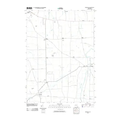 2010 Rushville2010 Print · USGSOntario and Yates counties appear in the early twenty-first century as a landscape of established hamlets and family farmsteads. Local historians can trace family roots through numerous burial sites like Pioneer Cemetery and old crossroads such as Reed Corners and Baldwin Corners.
 - 2013 Map of Rushville, 2013 Print
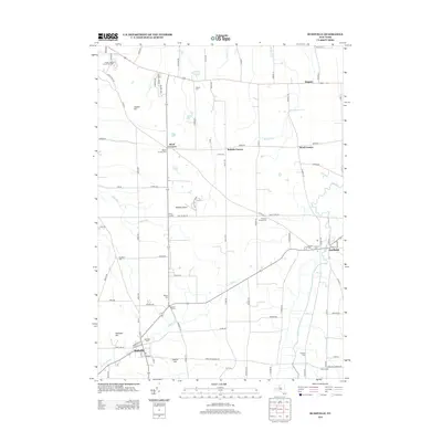 2013 Rushville2013 Print · USGSOntario County agricultural life is captured here in the early twenty-first century, centered on the villages of Rushville and Gorham. Genealogists and local historians can trace legacy sites like Pioneer Cem, Washburn Cem, and the historic crossroads at Babbitt Corner.
 - 2016 Map of Rushville, 2016 Print
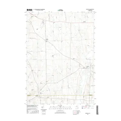 2016 Rushville2016 Print · USGSThe rural border of Ontario and Yates counties is documented here in the early twenty-first century, centered on the villages of Rushville and Gorham. Genealogists can locate numerous local burial sites including Pioneer Cem, Shuman Cem, and Baldwin Cem.
 - 2019 Map of Rushville, 2019 Print
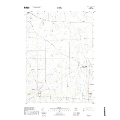 2019 Rushville2019 Print · USGSThe Ontario and Yates county line runs through this Finger Lakes landscape during the late 2010s, centered on the villages of Rushville and Gorham. Genealogists can trace deep local roots at sites like Hopewell Burying Ground, Reeds Corners Cem, and the Pioneer Cem.
 - 2023 Map of Rushville, 2023 Print
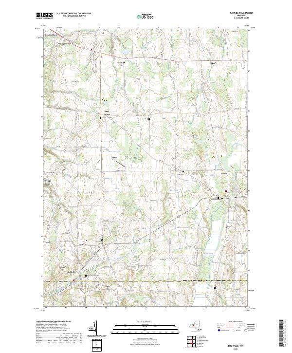 2023 Rushville2023 Print · USGSThe border of Ontario and Yates Counties is captured here in the early twenty-first century, showing a landscape of small hamlets and extensive wetlands. Researchers can trace local lineage through numerous sites like Hopewell Burying Ground, Pickett's Corners Cem, and Pioneer Cem.
End of results
Showing maps 1-13 of 13
Top cities near Rushville
- Victor historical maps
- Farmington historical maps
- Geneva historical maps
- Canandaigua historical maps
- Canandaigua historical maps
- Manchester historical maps
See more
Frequently asked questions
- What are the different types of historical maps available for Rushville?
- What is the oldest map of Rushville?
- Where can I purchase historical maps of Rushville for my home or office?
- Where can I download high-res historical maps of Rushville?
- Are there historical topographic maps available for Rushville?
- Is there historical aerial imagery available for Rushville?
- Where are historical maps of Rushville sourced from?