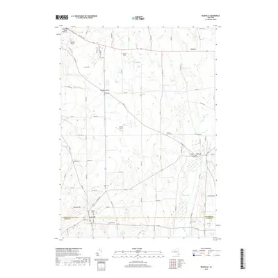
2019 Map of Rushville
USGS Topo · Published 2019About this map
Rushville straddles the boundary between Ontario and Yates counties, anchored by the Rushville Village Cem and the waters of the W River. This agricultural landscape in the Finger Lakes region is defined by a high density of small cemeteries and family burying grounds, such as the Hopewell Burying Ground and Pickett's Corners Cem, which serve as vital markers for genealogical research. The terrain rises toward Lazarus Hill and Harkness Hill, overlooking the low-lying Potter Swamp and the meandering course of Flint Creek. Further north, the village of Gorham sits near the Gorham Cem and Pioneer Cem, while the educational campus of Finger Lakes Community College and the aviation facilities at Midlakes Airport reflect the modern infrastructure integrated into this traditionally rural area. These patterns of settlement and land use provide a clear view of the region's development into the early 21st century.
Find a feature on this map
86 named features on this map. Tap any name to fly to it.
Don’t see what you’re looking for? This feature index may not catch every label — zoom into the map to look around manually.
Map Details
Editions of this 2019 Rushville Map
This is the sole edition of this map. No revisions or reprints were ever made.
Other maps of this area

1900 · Naples
USGS Topo · 1:62,500

1900 · Canandaigua
USGS Topo · 1:62,500

1902 · Phelps
USGS Topo · 1:62,500

1903 · Naples
USGS Topo · 1:62,500

1903 · Canandaigua
USGS Topo · 1:62,500

1903 · Penn Yan
USGS Topo · 1:62,500

1913 · Naples
USGS Topo · 1:62,500

1942 · Penn Yan
USGS Topo · 1:31,680

1942 · Middlesex
USGS Topo · 1:31,680

1942 · Canandaigua
USGS Topo · 1:31,680