Loading...
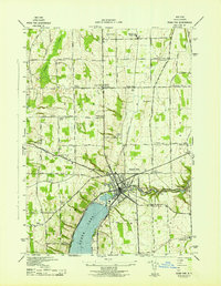
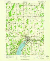
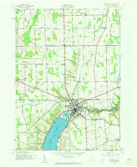
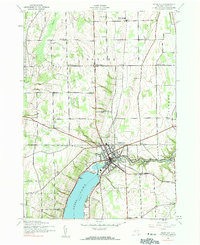
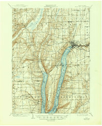
Loading map...1942 Map of Penn Yan
USGS Topo · Published 1942About this map
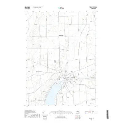
Penn Yan sits as the central hub of this 1942 survey, where the northern branch of Keuka Lake meets the Lake Outlet. The landscape is defined by the industrial and agricultural rhythm of Yates County during the early war years, characterized by a dense network of milling settlements along the water including Keuka Mills, Milo Mills, and Seneca Mills. The Pennsylvania Railroad cuts through the terrain, connecting the village to outlying stations like Benton Sta and Bellona Sta Gage.
Find a feature on this map
67 named features on this map. Tap any name to fly to it.
Don’t see what you’re looking for? This feature index may not catch every label — zoom into the map to look around manually.
Map Details
Date Portrayed1942
Date Published1942
PublisherU.S. Geological Survey
Map TypeTopographic
Scale1:31,680
Physical Dimensions17 x 22 inches
Editions of this 1942 Penn Yan Map
4 editions found
Historical Maps of Milo Through Time
7 maps found

Featured Locations
Source Details
SourceU.S. Geological Survey
CopyrightPublic Domain