
1942 Map of Potter
USGS Topo · Published 1942About this map
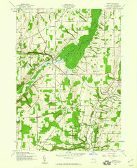
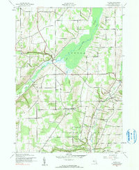
Potter Swamp dominates the central landscape of this Yates County survey, a vast wetland filtered by the winding course of Flint Creek. To the west, the Middlesex Valley is defined by a series of schoolhouses, including School No 12 and School No 8, which anchored the rural communities of the early 1940s. The settlement of Potter serves as a local hub where the Marcus Whitman Highway meets the creek, while smaller hamlets like Voak, Friend, and East Potter are linked by a network of named routes such as Sherman Hollow Road and Guyanoga Valley Road. Genealogists will find significant value in the numerous burial grounds documented, from the French Cem in the north to the Old Fort Cem and Nettle Valley Cem, providing a clear record of local family history and early settlement patterns before mid-century modernization altered the rural character.
Find a feature on this map
35 named features on this map. Tap any name to fly to it.
Don’t see what you’re looking for? This feature index may not catch every label — zoom into the map to look around manually.
Map Details
Editions of this 1942 Potter Map
3 editions found
Other maps of this area

1900 · Naples
USGS Topo · 1:62,500

1900 · Canandaigua
USGS Topo · 1:62,500

1902 · Phelps
USGS Topo · 1:62,500

1903 · Naples
USGS Topo · 1:62,500

1903 · Canandaigua
USGS Topo · 1:62,500

1903 · Penn Yan
USGS Topo · 1:62,500

1913 · Naples
USGS Topo · 1:62,500

1942 · Prattsburg
USGS Topo · 1:31,680

1942 · Penn Yan
USGS Topo · 1:31,680

1942 · Pulteney
USGS Topo · 1:31,680