1942 Map of Potter
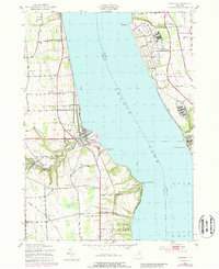
USGS Topo · Published 1990About this map
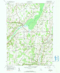
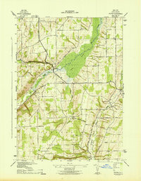
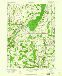
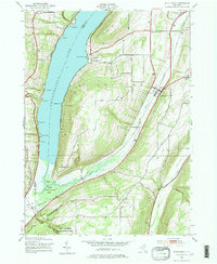
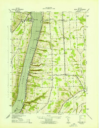
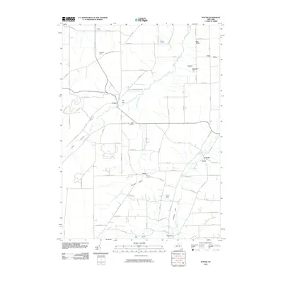
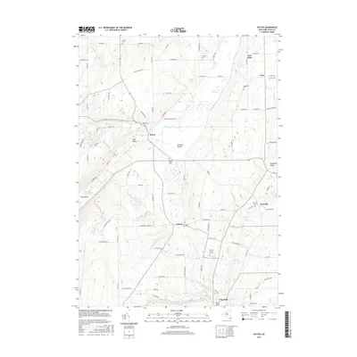
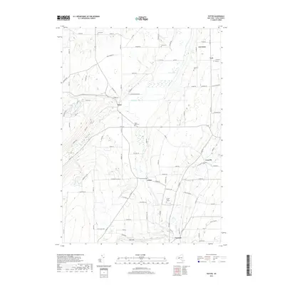
Flint Creek carves a significant path through the heart of this Yates County landscape, defining the topography from Italy Valley toward the marshy expanse of the northern Swamp. Recorded during the early 1940s, the map reveals a rural structure anchored by a numbered school system, from School No 2 in the north down to School No 6 and School No 16 in the south. These educational landmarks, paired with small rural cemeteries like French Cem, Sutherland Cem, and Nettle Valley Cem, provide a precise ledger of early 20th-century community hubs. The settlement of Potter serves as a central point for the surrounding hamlets of Voak, East Potter, and Yatesville, while the southern reaches descend through Sherman Hollow into the Guyanoga Valley. This survey preserves the exact placement of homesteads and local roads before later 20th-century developments altered the character of these Finger Lakes uplands.
Find a feature on this map
30 named features on this map. Tap any name to fly to it.
Don’t see what you’re looking for? This feature index may not catch every label — zoom into the map to look around manually.
Map Details
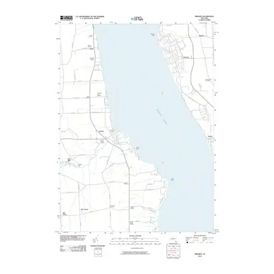
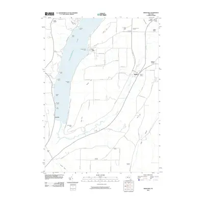
Editions of this 1942 Potter Map
3 editions found
Historical Maps of Jerusalem Through Time
19 maps found
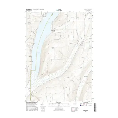
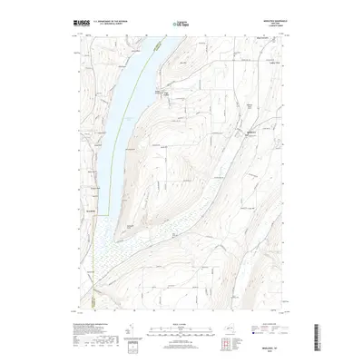
1942 Middlesex
Yates County, NY
1942 Potter
Yates County, NY
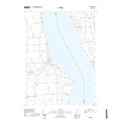
1943 Dresden
Yates County, NY
1943 Keuka Lake
Yates County, NY
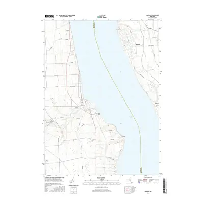
2010 Dresden
Yates County, NY
2010 Middlesex
Yates County, NY
2010 Potter
Yates County, NY
2013 Dresden
Yates County, NY
2013 Middlesex
Yates County, NY
2013 Potter
Yates County, NY
2016 Dresden
Yates County, NY
2016 Middlesex
Yates County, NY
2016 Potter
Yates County, NY
2019 Dresden
Yates County, NY
2019 Middlesex
Yates County, NY
2019 Potter
Yates County, NY

2023 Dresden
Yates County, NY

2023 Middlesex
Yates County, NY

2023 Potter
Yates County, NY